Occoquan in Prince William County, Virginia — The American South (Mid-Atlantic)
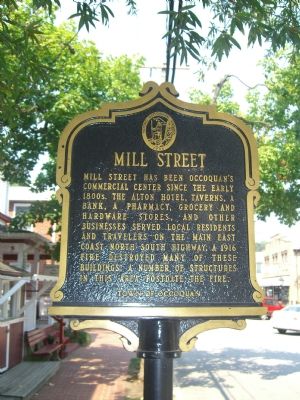
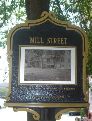
Mill Street
Erected by Town of Occoquan.
Topics and series. This historical marker is listed in these topic lists: Industry & Commerce • Roads & Vehicles • Settlements & Settlers. In addition, it is included in the Virginia, Historic Occoquan series list. A significant historical year for this entry is 1916.
Location. 38° 41.046′ N, 77° 15.635′ W. Marker is in Occoquan, Virginia, in Prince William County. Marker is on Mill Street, on the left when traveling west. Touch for map. Marker is in this post office area: Occoquan VA 22125, United States of America. Touch for directions.
Other nearby markers. At least 8 other markers are within walking distance of this marker. 302 Mill Street (a few steps from this marker); 304 Mill Street (a few steps from this marker); 301 Mill Street (a few steps from this marker); United Virginia Bank (within shouting distance of this marker); 201 Union Street (within shouting distance of this marker); 204 Union Street (within shouting distance of this marker); 206 Union Street (within shouting distance of this marker); Old Hammill Hotel (within shouting distance of this marker). Touch for a list and map of all markers in Occoquan.
Also see . . . Historic Occoquan Self Guided Walking Tour. (Submitted on September 21, 2019.)
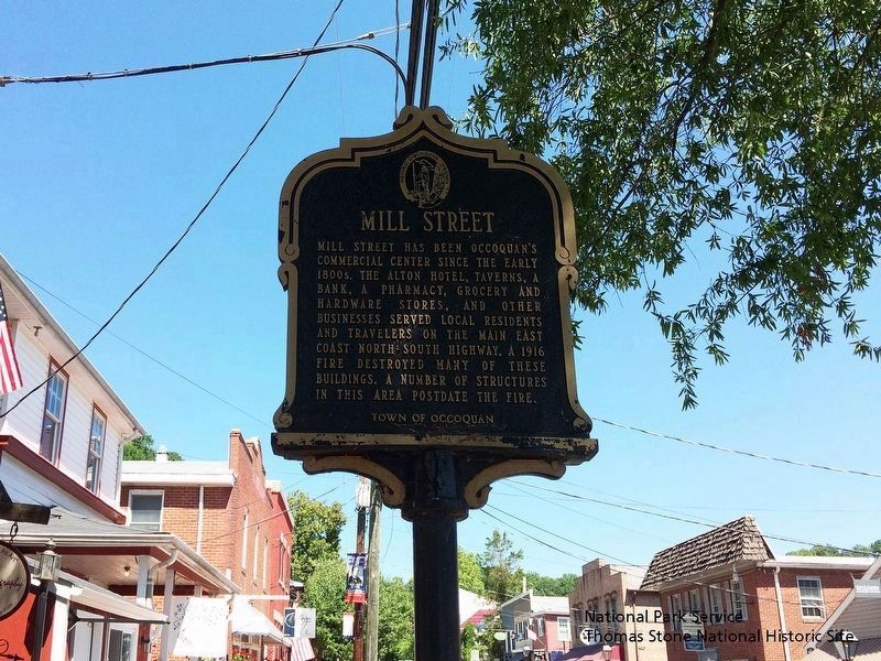
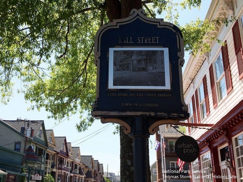
National Park Service, Thomas Stone National Historic Site, June 4, 2019
5. Mill Street Marker (Text Side)
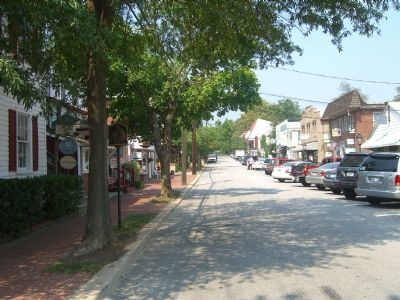
Viewing west towards marker.
Note: Older images of this marker show angled parking on the south side of Mill Street. Parallel parking is now used on both sides of the street and it is very crowded.
Note: Older images of this marker show angled parking on the south side of Mill Street. Parallel parking is now used on both sides of the street and it is very crowded.
Credits. This page was last revised on January 25, 2020. It was originally submitted on September 9, 2007, by Kevin W. of Stafford, Virginia. This page has been viewed 1,153 times since then and 26 times this year. Photos: 1, 2, 3. submitted on September 9, 2007, by Kevin W. of Stafford, Virginia. 4, 5. submitted on September 21, 2019. • J. J. Prats was the editor who published this page.
Editor’s want-list for this marker. Photos of the former Alton Hotel. • Photos of the former bank • Photo of the Down Under Tavern • Can you help?
