Near Odell in Gage County, Nebraska — The American Midwest (Upper Plains)
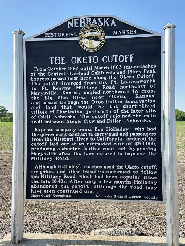
The Oketo Cutoff
Photographed by Brian Anderson, May 21, 2023
1. The Oketo Cutoff Marker
Express company owner Ben Holladay, who had the government contract to carry mail and passengers from the Missouri River to California, ordered the cutoff laid out at an estimated cost of $50,000, producing a shorter, better road and by passing Marysville after the town refused to improve the Military Road.
Although Holladay's coaches used the Oketo cutoff, freighters and other travelers continued to follow the Military Road, which had been popular since the late 1840s. After only a few months Holladay abandoned the cutoff, although the road may have seen continued use.
Erected by Nebraska
this page online
Topics and series. This historical marker is listed in this topic list: Roads & Vehicles. In addition, it is included in the Nebraska State Historical Society series list. A significant historical month for this entry is October 1862.
Location. 40° 2.749′ N, 96° 48.825′ W. Marker is near Odell, Nebraska, in Gage County. It is on State Highway 8 0.6 miles west of Perry Street, on the right when traveling west. Touch for map. Marker is in this post office area: Odell NE 68415, United States of America. Touch for directions.

Regionally, this marker is in Eastern Nebraska. It is also in the American Midwest, in the Corn Belt, and on the prairies. Globally, it is in North America, the Western Hemisphere, the Western World, and the Anglosphere. Historically, it finds itself in what was once the Louisiana Purchase.
Other nearby markers. At least 8 other markers are within 12 miles of this marker, measured as the crow flies: Hollenberg Pony Express Station (approx. 10.1 miles away in Kansas); Camping Along the Trail (approx. 10.1 miles away in Kansas); Points of Interest (approx. 10.2 miles away in Kansas); Hollenberg Station and Transportation
Photographed by Brian Anderson, May 21, 2023
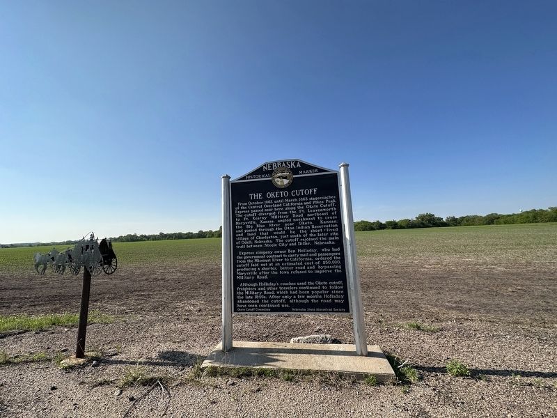
2. The Oketo Cutoff Marker
Credits. This page was last revised on December 25, 2023. It was originally submitted on December 25, 2023, by Brian Anderson of New Albany, Ohio. This page has been viewed 681 times since then and 102 times this year. Photos: 1, 2. submitted on December 25, 2023, by Brian Anderson of New Albany, Ohio.
