Manassas, Virginia — The American South (Mid-Atlantic)
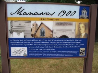
Manassas 1900
A Flurry of Construction
— Speiden Leaves Mark on Town —
Manassas builders John, Frank, and Ira Cannon, and Benjamin C. Cornwell constructed or designed several homes and churches on West, Battle, and Main Streets that still stand. The railroad continued to prove important to the town's growth in the early 20th century. Whether importing manufactured goods, exporting dairy products, or transporting commuters to Washington, D.C., the train played a significant role in the continuing success of Manassas.
Erected 2009.
Topics. This historical marker is listed in these topic lists: Agriculture • Architecture • Churches & Religion • Communications • Industry & Commerce • Railroads & Streetcars • Settlements & Settlers. A significant historical year for this entry is 1895.
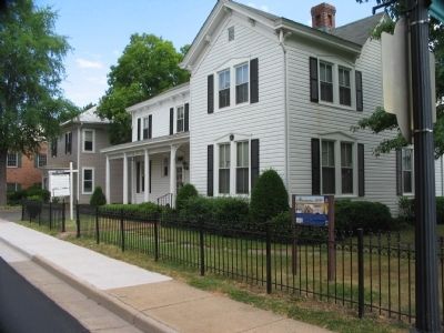
Location. 38° 45.095′ N, 77° 28.401′ W. Marker is in Manassas, Virginia . Marker is at the intersection of Church Street (State Highway 28) and West Street, on the left when traveling west on Church Street. Touch for map. Marker is in this post office area: Manassas VA 20110, United States of America. Touch for directions.
Other nearby markers. At least 8 other markers are within walking distance of this marker. Wartime Manassas (within shouting distance of this marker); Loy E. Harris (about 300 feet away, measured in a direct line); Opera House (about 400 feet away); A Railroad Town (about 500 feet away); The Town Is Born (about 500 feet away); 9366 Main Street (about 500 feet away); Jackson's Raid (about 500 feet away); Route of the "Old 97" (about 500 feet away). Touch for a list and map of all markers in Manassas.
Credits. This page was last revised on December 25, 2019. It was originally submitted on October 29, 2009, by Craig Swain of Leesburg, Virginia. This page has been viewed 930 times since then and 23 times this year. Photos: 1, 2. submitted on October 29, 2009, by Craig Swain of Leesburg, Virginia.

