Near Fort Towson in Choctaw County, Oklahoma — The American South (West South Central)
Evidence For A Tavern…
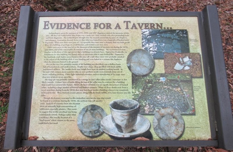
Archaeologists spent the summers of 1995, 1996, and 1997 digging to unravel the mysteries of this area. All that was visible before they began was a small, low, earth mound with a few protruding rocks and brick fragments. The archaeologists through that the mound covered the location of a fireplace and chimney. Exaction showed, however, that what was buried here was a large pile of broken brick fragments. What were these once part of? It is possible they were once a chimney that was built on the floor of a building, or perhaps on a wall bracket, and vented a cast iron stove.
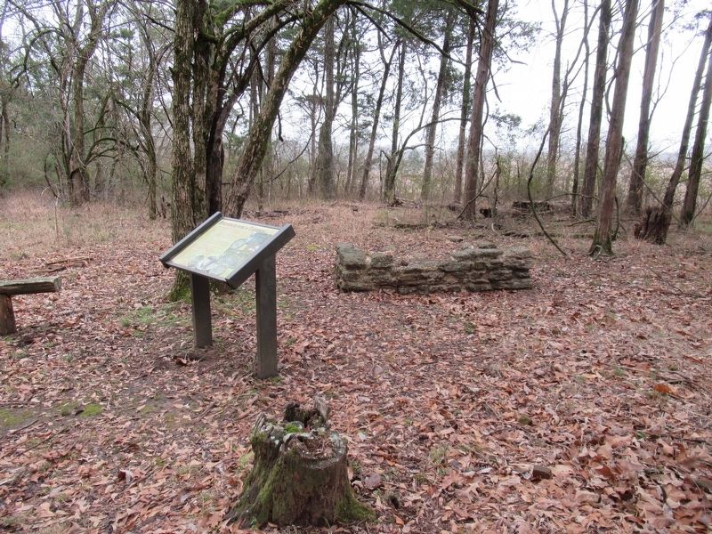
Other excavation in this area led to the discovery of the remains of intensive use during the 1850s and 1860s, and of the catastrophic destruction of one or more buildings. The reconstructed stone fireplace to the front of this sign proves that a building was present here. Typical for Doaksville, no foundation for this building was found, and it is uncertain what it once looked like. Numerous fire-hardened, mud dauber nests found in this area tell a tale: these nests were probably attached to the rafters of the building while it was standing and were baked to a ceramic-like hardness when the structure burned to the ground.
Also in this area, but probably outside of the building just described, was a shallow basin full of burned rocks and small artifacts. Nearby was a large, deep pit filled with brick rubble and burned artifacts. The smaller basin may simply have been an outdoor cooking hearth. In the mid-19th century, many activities that we now perform inside were routinely done out-of-doors, including cooking. Other light industrial activities, such as manufacture of lye soap, were done out-of-doors on an open fire.
The large pit was probably constructed as a storage or root cellar either inside a structure or, less likely, outside. A dense layer of bricks filling the top of the cellar may be evidence for a building that would have covered this feature. Below the layer of bricks was an equally dense layer of burned refuse, including a large number of burned and broken ceramics. Many of these shards were from a set of stoneware dating from the 1850s that may have been inside a building when it was completely destroyed by fire. These burned ceramic pieces, along with the brick rubble, were later thrown into the cellar.
Though the features excavated in this immediate area are the type that would be found at a residence during the 1850s, the artifacts may tell another story. Analysis of ceramics from this location show an unusually high concentration of tablewares, especially platters. This seems to suggest that in this area food was being continuously served. Perhaps rather than a residence, this was the location of a "food tavern" where visitors to the town could find a hot meal.
Erected by Oklahoma Historical Society.
Topics. This historical marker is listed in these topic lists: Anthropology & Archaeology • Industry & Commerce • Native Americans • Settlements & Settlers. A significant historical year for this entry is 1995.
Location. 34° 2.055′ N, 95° 16.202′ W. Marker is near Fort Towson, Oklahoma, in Choctaw County. Marker can be reached from Red Road, 0.8 miles north of Tram Road, on the right when traveling north. The marker is located at a trail at the back of the Fort Towson Cemetery. Inside the cemetery on the back wall is a set of stairs that leads into the Old Doaksville Townsite History Trail. The marker is located along the trail. Touch for map. Marker is in this post office area: Fort Towson OK 74735, United States of America. Touch for directions.
Other nearby markers. At least 8 other markers are within walking distance of this marker. A Kitchen? (within shouting distance of this marker); The Doaksville Hotel (within shouting distance of this marker); The Old Stone Jail (within shouting distance of this marker); The Preservation of Doaksville (within shouting distance of this marker); Why The Mound? (within shouting distance of this marker); Stand Watie’s Surrender (within shouting distance of this marker); Doaksville (within shouting distance of this marker); A Community Well (within shouting distance of this marker). Touch for a list and map of all markers in Fort Towson.
Credits. This page was last revised on December 27, 2023. It was originally submitted on December 27, 2023, by Jason Armstrong of Talihina, Oklahoma. This page has been viewed 60 times since then and 19 times this year. Photos: 1, 2. submitted on December 27, 2023, by Jason Armstrong of Talihina, Oklahoma. • Devry Becker Jones was the editor who published this page.

