Midlothian in Chesterfield County, Virginia — The American South (Mid-Atlantic)
The Bermuda Hundred Campaign
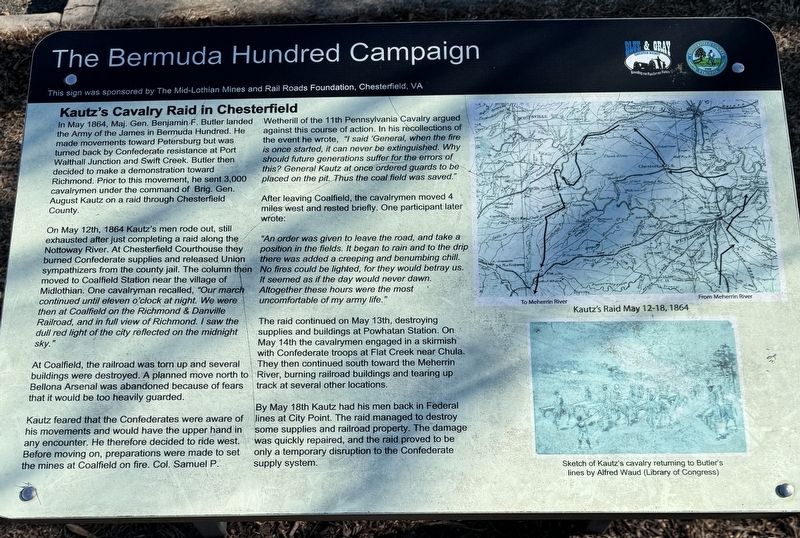
Kautz's Cavalry Raid in Chesterfield
In May 1864, Maj. Gen. Benjamin F. Butler landed the Army of the James in Bermuda Hundred. He made movements toward Petersburg but was turned back by Confederate resistance at Port Walthall Junction and Swift Creek. Butler then decided to make a demonstration toward Richmond. Prior to this movement, he sent 3,000 cavalrymen under the command of Brig. Gen. August Kautz on a raid through Chesterfield County.
On May 12th, 1864 Kautz's men rode out, still exhausted after just completing a raid along the Nottoway River. At Chesterfield Courthouse they burned Confederate supplies and released Union sympathizers from the county jail. The column then moved to Coalfield Station near the village of Midlothian. One cavalryman recalled, "Our march continued until eleven o'clock at night. We were then at Coalfield on the Richmond & Danville Railroad, and in full view of Richmond. I saw the dull red light of the city reflected on the midnight sky.”
At Coalfield, the railroad was torn up and several buildings were destroyed. A planned move north to Bellona Arsenal was abandoned because of fears that it would be too heavily guarded.
Kautz feared that the Confederates were aware of his movements and would have the upper hand in any encounter. He therefore decided to ride west. Before moving on, preparations were made to set the mines at Coalfield on fire. COL. Samuel P. Wetherill of the 11th Pennsylvania Cavalry argued against this course of action. In his recollections of the event he wrote, "I said 'General, when the fire is once started, it can never be extinguished. Why should future generations suffer for the errors of this? General Kautz at once ordered guards to be placed on the pit. Thus the coal field was saved."
After leaving Coalfield, the cavalrymen moved 4 miles west and rested briefly. One participant later wrote:
"An order was given to leave the road, and take a position in the fields. It began to rain and to the drip there was added a creeping and benumbing chill. No fires could be lighted, for they would betray us. It seemed as if the day would never dawn. Altogether these hours were the most uncomfortable of my army life.”
The raid continued on May 13th, destroying supplies and buildings at Powhatan Station. On May 14th the cavalrymen engaged in a skirmish with Confederate troops at Flat Creek near Chula. They then continued south toward the Meherrin River, burning railroad buildings and tearing up track at several other locations.
By May 18th Kautz had his men back in Federal lines at City Point. The raid managed to destroy some supplies and railroad property. The damage was quickly repaired, and the raid proved to be only a temporary disruption to the Confederate supply system.
(captions)
Kautz’s Raid May 12-18, 1864
Sketch of Kautz’s returning to Butler’s lines by Alfred Waud (Library of Congress)
Erected by The Mid-Lothian Mines and Rail Roads Foundation, Chesterfield, VA.
Topics. This historical marker is listed in these topic lists: Industry & Commerce • Parks & Recreational Areas • War, US Civil. A significant historical date for this entry is May 12, 1864.
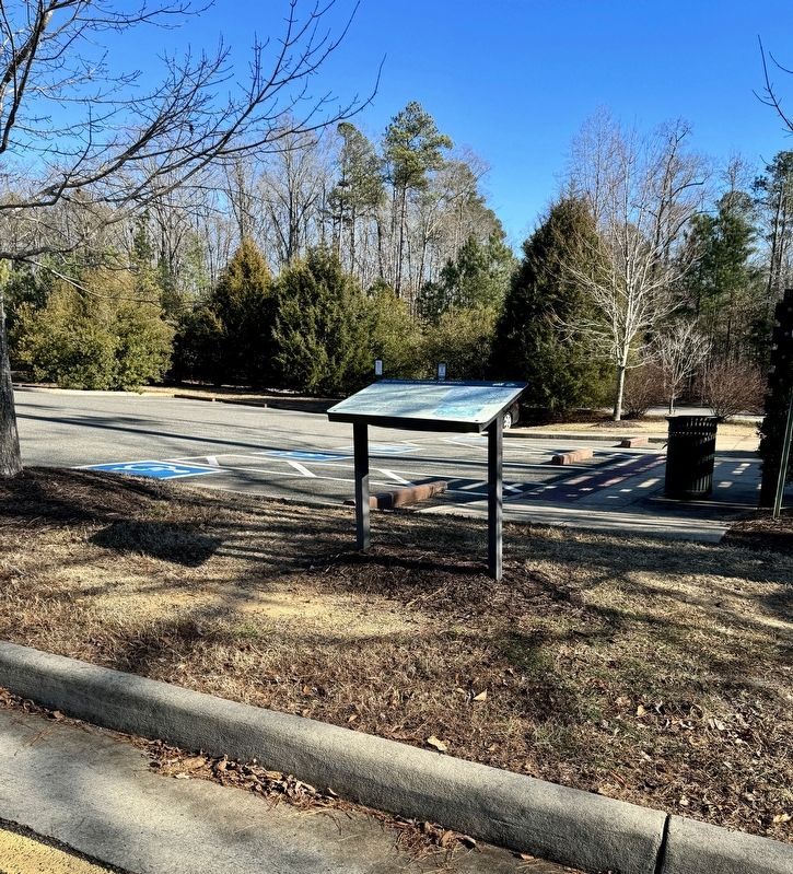
Location. 37° 29.745′ N, 77° 38.591′ W. Marker is in Midlothian, Virginia, in Chesterfield County. Marker can be reached from North Woolridge Road, 0.1 miles north of Scotter Hills Lane, on the left when traveling north. The marker is located on the west side of Mid-Lothian Mines Park across North Woolridge Road from the main trails. Touch for map. Marker is at or near this postal address: 13301 North Woolridge Rd, Midlothian VA 23114, United States of America. Touch for directions.
Other nearby markers. At least 8 other markers are within walking distance of this marker. From Mines to Market (a few steps from this marker); Headstock (within shouting distance of this marker); Mid-Lothian Mines and Rail Roads (about 300 feet away, measured in a direct line); a different marker also named Mid-Lothian Mines and Rail Roads (approx. 0.3 miles away); a different marker also named Mid-Lothian Mines and Rail Roads (approx. 0.4 miles away); a different marker also named Mid-Lothian Mines and Rail Roads (approx. 0.4 miles away); a different marker also named Mid-Lothian Mines and Rail Roads (approx. half a mile away); Midlothian Coal Mines (approx. half a mile away). Touch for a list and map of all markers in Midlothian.
Also see . . . Mid-Lithuanian Mines Park: The Birthplace Of Virgin’s Coal Mining History. (Submitted on December 27, 2023, by Brandon D Cross of Flagler Beach, Florida.)
Credits. This page was last revised on December 28, 2023. It was originally submitted on December 27, 2023, by Brandon D Cross of Flagler Beach, Florida. This page has been viewed 85 times since then and 46 times this year. Photos: 1, 2. submitted on December 27, 2023, by Brandon D Cross of Flagler Beach, Florida. • Bernard Fisher was the editor who published this page.

