Goosetown-Campus in La Crosse in La Crosse County, Wisconsin — The American Midwest (Great Lakes)
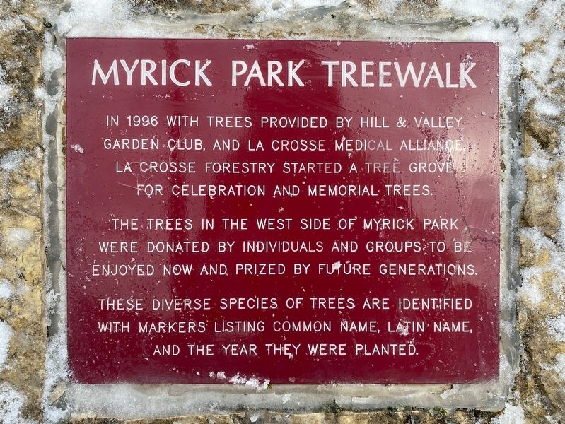
Myrick Park Treewalk
November 26, 2023
1. Myrick Park Treewalk Marker
The trees in the west side of Myrick Park were donated by individuals and groups to be enjoyed now and prized by future generations.
These diverse species of trees are identified with markers listing common name, Latin name, and the year they were planted.
Topics. This historical marker is listed in these topic lists: Horticulture & Forestry • Parks & Recreational Areas. A significant historical year for this entry is 1996.
Location. 43° 49.118′ N, 91° 13.59′ W. Marker is in La Crosse, Wisconsin, in La Crosse County. It is in Goosetown-Campus. It is on La Crosse Street (State Highway 16) 0.1 miles west of Myrick Park Lane, on the right when traveling west. Touch for map. Marker is in this post office area: La Crosse WI 54601, United States of America. Touch for directions.

Regionally, this marker is in Western Wisconsin. It is also in the American Midwest, in the Corn Belt, in the Driftless Area — Bluff Country, and in the Great River Road Region.
this page online
Other nearby markers. At least 8 other markers are within walking distance of this marker: Myrick Park Mounds (approx. ¼ mile away); Group of Indian Mounds (approx. ¼ mile away); Oak Grove Cemetery (approx. 0.4 miles away); Losey Memorial (approx. half a mile away); 19th and Main (approx. half a mile away); 16th and State (approx. half a mile away); 12th and La Crosse (approx. 0.7 miles away); Concordia Hall (approx. 0.7 miles away). Touch for a list and map of all markers in La Crosse.
November 26, 2023
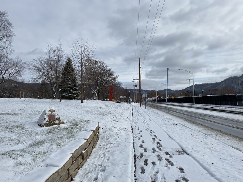
2. Myrick Park Treewalk Marker, from the west
November 26, 2023
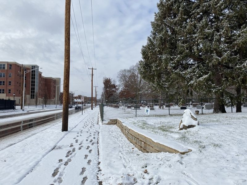
3. Myrick Park Treewalk Marker, from the east
November 26, 2023
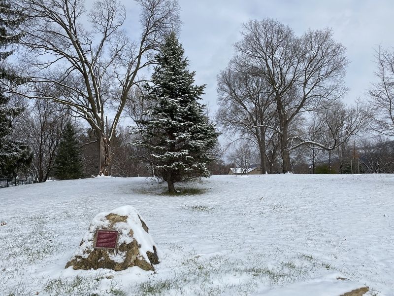
4. Myrick Park Trees
Credits. This page was last revised on December 28, 2023. It was originally submitted on December 28, 2023. This page has been viewed 352 times since then and 24 times this year. Photos: 1, 2, 3, 4. submitted on December 28, 2023.
