Sandy in Salt Lake County, Utah — The American Mountains (Southwest)
John & Elizabeth Oldham House
Utah Historic Site
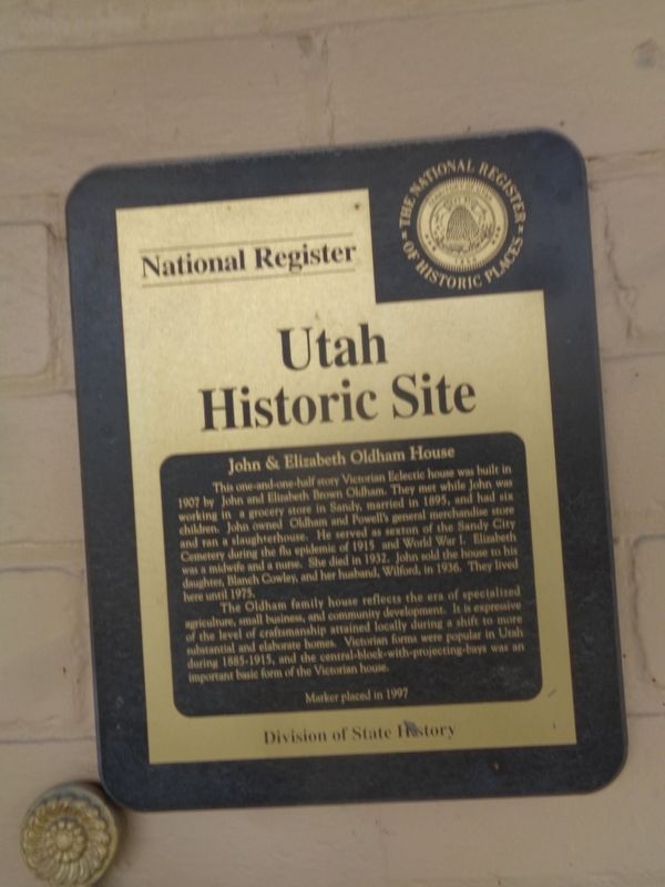
Photographed by Jason Voigt, May 8, 2023
1. John & Elizabeth Oldham House Marker
The Oldham family house reflects the era of specialized agriculture, small business, and community development. It is expressive of the level of craftsmanship attained locally during a shift to more substantial and elaborate homes. Victorian forms were popular in Utah during 1885-1915, and the central-block-with-projecting-bays was an important basic form of the Victorian house.
Erected 1997 by Utah Division of State History.
Topics. This historical marker is listed in these topic lists: Architecture • Industry & Commerce • Women. A significant historical year for this entry is 1907.
Location. 40° 35.512′ N,
this page online

Regionally, this marker is in the Wasatch Front and in Greater Salt Lake. It is also in the American Mountain West and on the Colorado Plateau. Globally, it is in North America, the Rocky Mountains, the Western Hemisphere, the Western World, and the Anglosphere. Historically, it finds itself in what was once New Spain and also Mexico’s Alta California.
Other nearby markers. At least 8 other markers are within walking distance of this marker: Niels & Mary Ann Thompson House (within shouting distance of this marker); John & Johanna Anderson House (within shouting distance of this marker); Sandy-Alta Railroad (about 400 feet away, measured in a direct line); John & Myrtle Ostler House (about 500 feet away); Amos and Ida Jensen House (approx. 0.2 miles away); Sandy Elementary (approx. ¼ mile
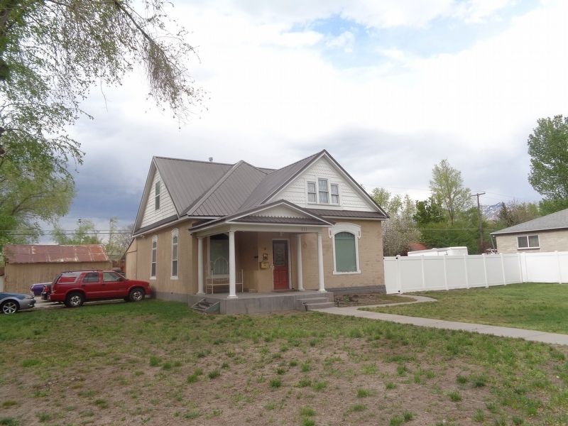
Photographed by Jason Voigt, May 8, 2023
2. John & Elizabeth Oldham House Marker
Marker is mounted on the house, which is private property
Credits. This page was last revised on December 31, 2023. It was originally submitted on December 31, 2023, by Jason Voigt of Glen Carbon, Illinois. This page has been viewed 303 times since then and 41 times this year. Photos: 1, 2. submitted on December 31, 2023, by Jason Voigt of Glen Carbon, Illinois.
