Fish Creek in Door County, Wisconsin — The American Midwest (Great Lakes)
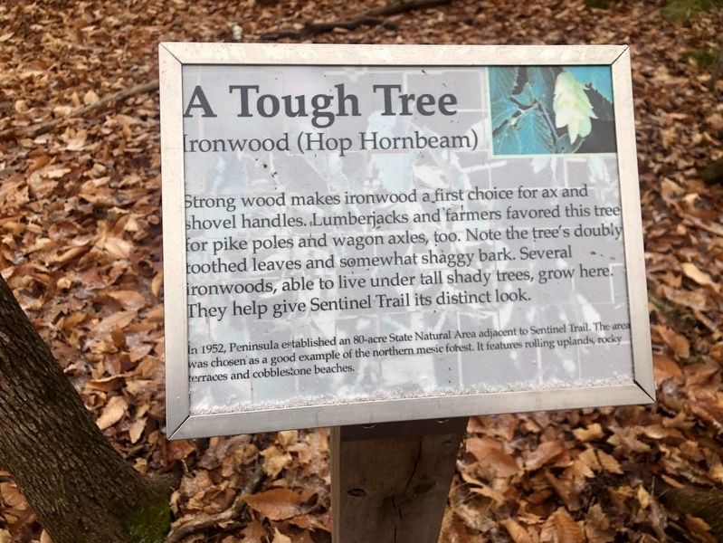
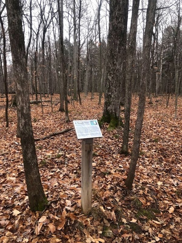
A Tough Tree
Ironwood (Hop Hornbeam)
In 1952, Peninsula established an 80-acre State Natural Area adjacent to Sentinel Trail. The area was chosen as a good example of the northern mesic forest. It features rolling uplands, rocky terraces and cobblestone beaches.
Topics. This historical marker is listed in these topic lists: Environment • Horticulture & Forestry • Parks & Recreational Areas. A significant historical year for this entry is 1952.
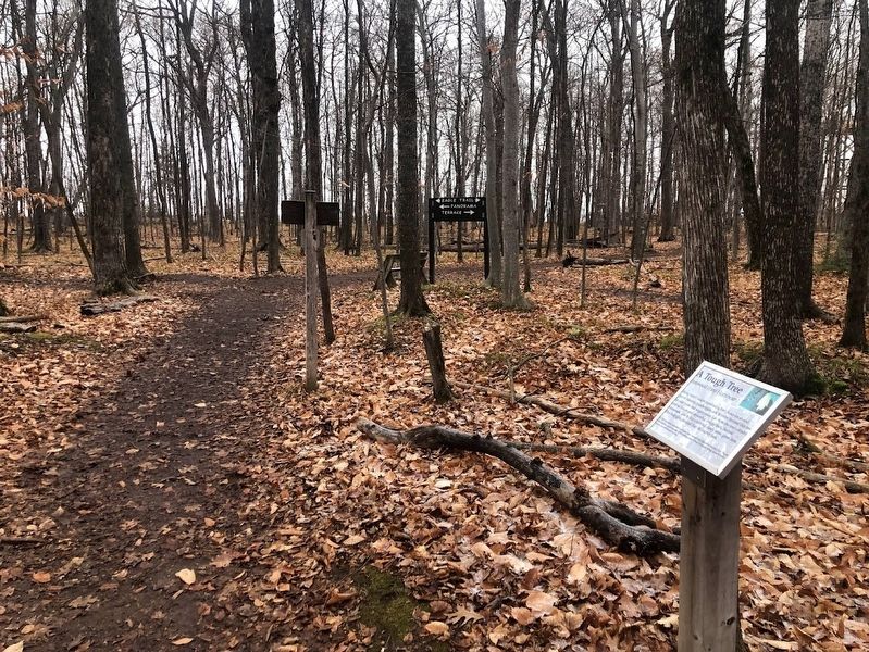
Location. 45° 9.749′ N, 87° 11.906′ W. Marker is in Fish Creek, Wisconsin, in Door County. Marker can be reached from Shore Road, 1.3 miles Wisconsin Route 42 when traveling west. The marker is one of about a half-dozen found along the Sentinel Trail inside Wisconsin's Peninsula State Park. This one is a couple of hundred feet from its start near Eagle Tower. Touch for map. Marker is in this post office area: Fish Creek WI 54212, United States of America. Touch for directions.
Other nearby markers. At least 8 other markers are within walking distance of this marker. Life on the Ledge (a few steps from this marker); Shipwrecked! (within shouting distance of this marker); Looking Back (within shouting distance of this marker); Shaped by Water (within shouting distance of this marker); A State Park System is Formed (approx. 0.2 miles away); Albert E. Doolittle (approx. 0.2 miles away); A Road Less Traveled (approx. ¼ mile away); Late Bloomer (approx. 0.3 miles away). Touch for a list and map of all markers in Fish Creek.
Also see . . . Nature and Wildlife: Peninsula State Park. From the Wisconsin Department of Natural Resources
Excerpt: "The forest at Peninsula is almost all second growth, with maple and beech trees dominating. This type of northern mesic forest once covered 1/3 of Wisconsin. Peninsula's two state natural areas, the White Cedar Forest and Beech Maple Forest were so designated in 1952 as good representations of forest types. Even more incredible is Peninsula's "vertical forest"—northern white cedar trees that hug the bluffs of the Niagara Escarpment. Some of these trees are more than 500 years old."(Submitted on January 1, 2024, by Sean Flynn of Oak Park, Illinois.)
Credits. This page was last revised on January 1, 2024. It was originally submitted on January 1, 2024, by Sean Flynn of Oak Park, Illinois. This page has been viewed 43 times since then. Photos: 1, 2, 3. submitted on January 1, 2024, by Sean Flynn of Oak Park, Illinois. • J. Makali Bruton was the editor who published this page.


