Fish Creek in Door County, Wisconsin — The American Midwest (Great Lakes)
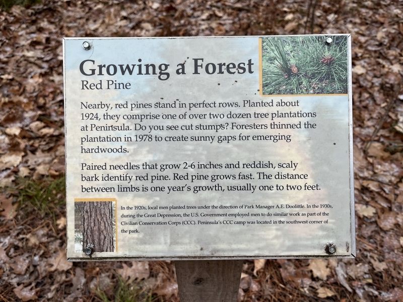
Growing a Forest
Red Pine
Paired needles that grow 2-6 inches and reddish, scaly bark identify red pine. Red pine grows fast. The distance between limbs is one year's growth, usually one to two feet.
In the 1920s, local men planted trees under the direction of Park Manager A.E. Doolittle. In the 1930s, during the Great Depression, the U.S. Government employed men to do similar work as part of the Civilian Conservation Corps (CCC). Peninsula's CCC camp was located in the southwest corner of the park.
Topics. This historical marker is listed in these topic lists: Environment • Horticulture & Forestry • Parks & Recreational Areas. A significant historical year for this entry is 1924.
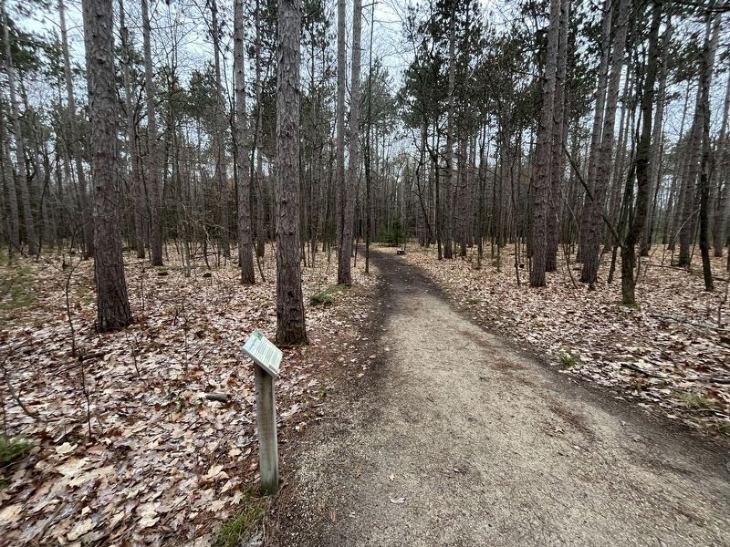
Location. 45° 9.41′ N, 87° 12.204′ W. Marker is in Fish Creek, Wisconsin, in Door County. Marker is on Highland Road, 1.3 miles north of U.S. 42. This marker is in Peninsula State Park along the Sentinel Trail, right next to its intersection with Highland Road, a paved street. Touch for map. Marker is in this post office area: Fish Creek WI 54212, United States of America. Touch for directions.
Other nearby markers. At least 8 other markers are within walking distance of this marker. Cold Cure (within shouting distance of this marker); Late Bloomer (approx. 0.2 miles away); Albert E. Doolittle (approx. 0.4 miles away); A State Park System is Formed (approx. 0.4 miles away); A Tough Tree (approx. half a mile away); Life on the Ledge (approx. half a mile away); A Road Less Traveled (approx. half a mile away); Shipwrecked! (approx. half a mile away). Touch for a list and map of all markers in Fish Creek.
Credits. This page was last revised on January 1, 2024. It was originally submitted on January 1, 2024, by Sean Flynn of Oak Park, Illinois. This page has been viewed 50 times since then. Photos: 1, 2. submitted on January 1, 2024, by Sean Flynn of Oak Park, Illinois. • J. Makali Bruton was the editor who published this page.

