Jerusalem Township in Bono in Lucas County, Ohio — The American Midwest (Great Lakes)
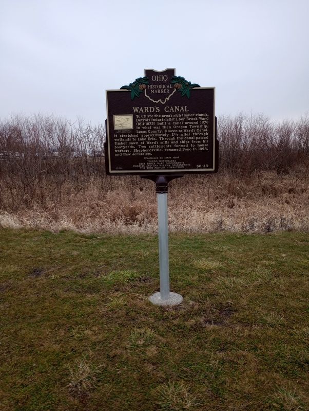
Ward's Canal
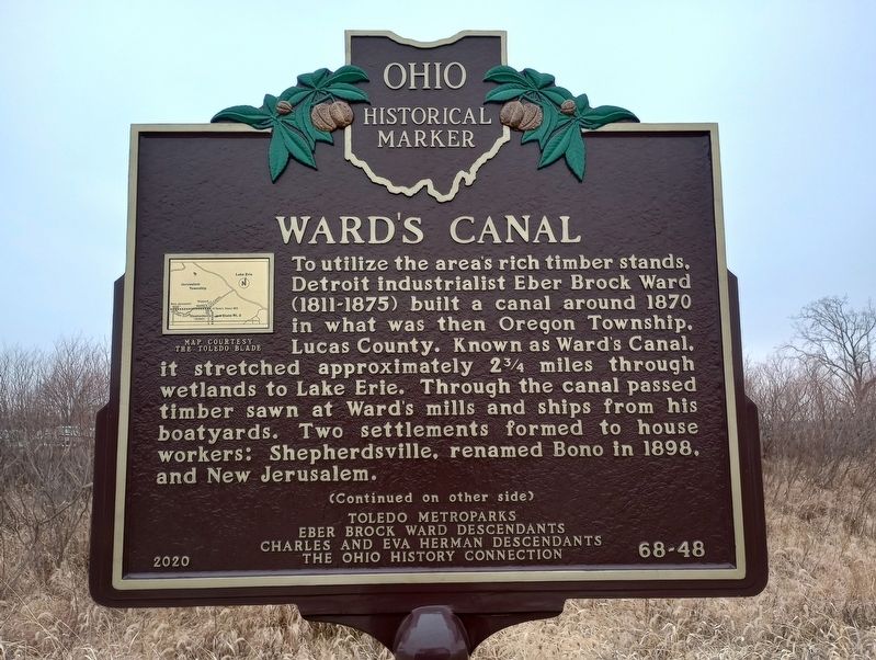
To utilize the area's rich timber stands. Detroit industrialist Eber Brock Ward (1811-1875) built a canal around 1870 in what was then Oregon Township. Lucas County. Known as Ward's Canal, it stretched approximately 234 miles through wetlands to Lake Erie. Through the canal passed timber sawn at Ward's mills and ships from his boatyards. Two settlements formed to house workers: Shepherdsville, renamed Bono in 1898, and New Jerusalem.
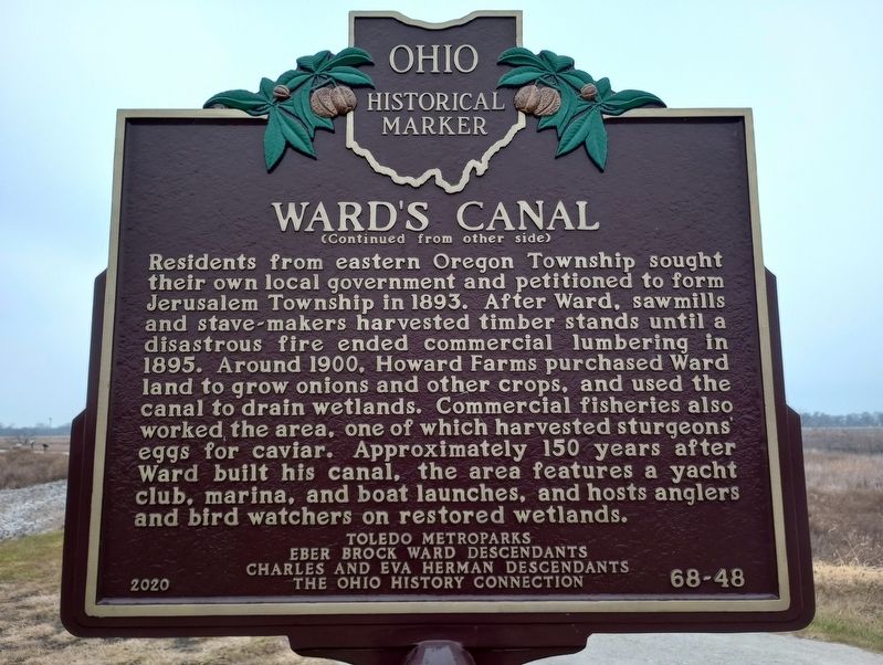
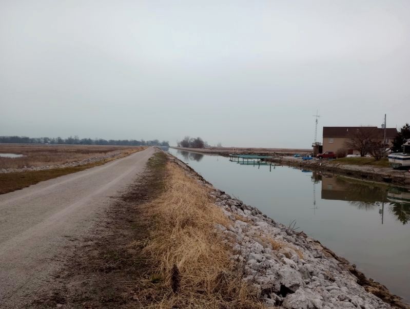
Residents from eastern Oregon Township sought their own local government and petitioned to form Jerusalem Township in 1893. After Ward, sawmills and stave-makers harvested timber stands until a disastrous fire ended commercial lumbering in 1895. Around 1900, Howard Farms purchased Ward land to grow onions and other crops, and used the canal to drain wetlands. Commercial fisheries also worked the area, one of which harvested sturgeons eggs for caviar. Approximately 150 years after Ward built his canal, the area features a yacht club, marina, and boat launches, and hosts anglers and bird watchers on restored wetlands.
Erected 2020 by Toledo Metroparks; Eber Brock Ward Descendants; Charles And Eva Herman Descendants; The Ohio History Connection. (Marker Number 68-48.)
Topics and series. This historical marker is listed in these topic lists: Industry & Commerce • Parks & Recreational Areas • Settlements & Settlers • Waterways & Vessels. In addition, it is included in the Ohio Historical Society / The Ohio History Connection series list. A significant historical year for this entry is 1870.
Location. 41° 38.651′ N, 83° 15.254′ W. Marker is in Bono, Ohio, in Lucas County. It is in Jerusalem Township. Marker can be reached from Marias Drive, 1.2 miles east of South Howard Road (County Road 209), on the right when traveling south. Touch for map. Marker is at or near this postal address: 12805 Bono Rd, Curtice OH 43412, United States of America. Touch for directions.
Other nearby markers. At least 8 other markers are within 7 miles of this marker, measured as the crow flies. Howard Marsh (approx. half a mile away); The Changing Faces of Howard Marsh (approx. half a mile away); The Dish on Fish (approx. 0.6 miles away); Purple Martins (approx. 4 miles away); Magee Marsh Wildlife Area (approx. 4.1 miles away); History Of Magee Marsh (approx. 4.1 miles away); Sport Fish & Wildlife Restoration (approx. 4.1 miles away); Veterans Memorial (approx. 6.7 miles away). Touch for a list and map of all markers in Bono.
Credits. This page was last revised on January 3, 2024. It was originally submitted on January 1, 2024, by Craig Doda of Napoleon, Ohio. This page has been viewed 47 times since then. Photos: 1, 2, 3, 4. submitted on January 1, 2024, by Craig Doda of Napoleon, Ohio. • Devry Becker Jones was the editor who published this page.


