Minster in Auglaize County, Ohio — The American Midwest (Great Lakes)
Minster
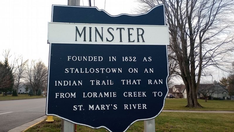
Photographed by Craig Doda, December 24, 2023
1. Minster Marker
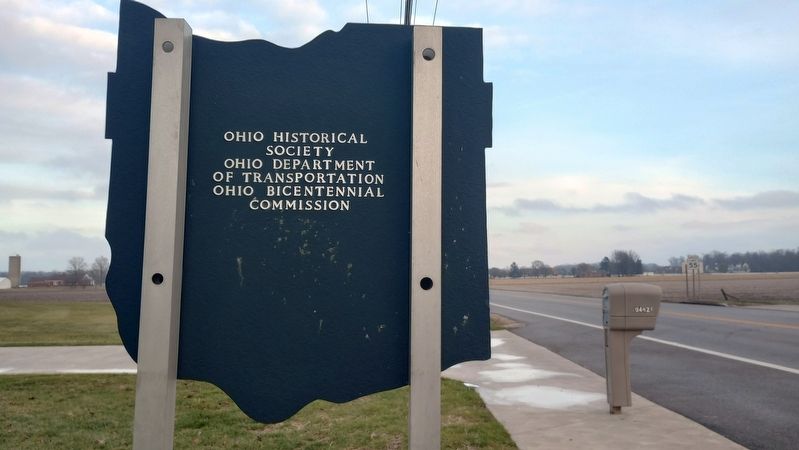
Erected by Ohio Historical Society, Ohio Department of Transportation and Ohio Bicentennial Commission.
Topics and series. This historical marker is listed in these topic lists: Indigenous Peoples and Communities • Settlements & Settlers. In addition, it is included in the Ohio Historical Society / The Ohio History Connection series list. A significant historical year for this entry is 1832.
Location. 40° 23.593′ N, 84° 21.895′ W. Marker is in Minster, Ohio, in Auglaize County. It is on Ohio Route 119 east of North Paris Street, on the right when traveling west. Touch for map. Marker is at or near this postal address: 4623 State Route 119, Minster OH 45865, United States of America. Touch for directions.

Regionally, this marker is in Ohio’s Till Plains. It is also in the American Midwest and in the Corn Belt. Globally, it is in North America, the Western Hemisphere, the Western World, and the Anglosphere. Historically, it finds itself in what was once the Haudenosaunee (Iroquois) Confederacy, the
this page online
Other nearby markers. At least 8 other markers are within walking distance of this marker: Francis J. Stallo's log cabin (approx. 0.6 miles away); The Crescent Theater (approx. 0.7 miles away); Minster's Origins (approx. 0.7 miles away); The Log Church (approx. 0.7 miles away); Minster Veterans Memorial (approx. 0.7 miles away); 1832 Stallostown / Minster 1982 (approx. ¾ mile away); Minster Post Office (approx. ¾ mile away); Karl Kuehner'S Pure Food Homes (approx. 0.9 miles away). Touch for a list and map of all markers in Minster.
Photographed by Craig Doda, December 24, 2023
2. Minster Marker
Photographed by Craig Doda, December 24, 2023
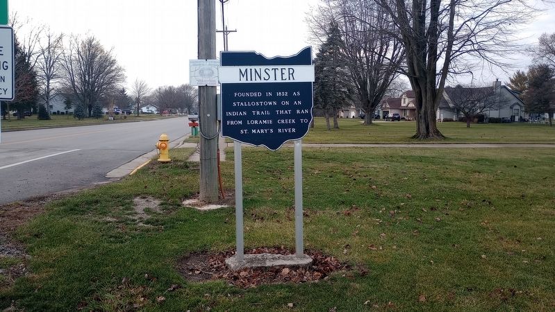
3. Minster Marker
Credits. This page was last revised on January 3, 2024. It was originally submitted on January 1, 2024, by Craig Doda of Napoleon, Ohio. This page has been viewed 199 times since then and 23 times this year. Photos: 1, 2, 3. submitted on January 1, 2024, by Craig Doda of Napoleon, Ohio. • Devry Becker Jones was the editor who published this page.
