Near Ellison Bay in Door County, Wisconsin — The American Midwest (Great Lakes)
Newport Historic Waterfront
Lumber Port
| — | Wisconsin's Maritime Trails | — |
Photographed by Sean Flynn
1. Newport Historic Waterfront Marker
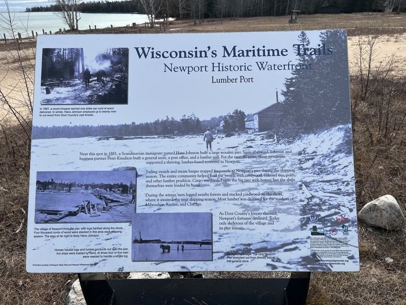
Near this spot in 1881, a Scandinavian immigrant named Hans Johnson built a large wooden pier. Soon afterward, Johnson and business partner Peter Knudson built a general store, a post office, and a lumber mill. For the next 40 years, these structures supported a thriving lumber-based economy in Newport.
Sailing vessels and steam barges stopped frequently at Newport's pier during the shipping season. The entire community helped load the vessels with cordwood, railroad ties, posts, and other lumber products. Cargo was hauled onto the big pier with horses, but the ships themselves were loaded by hand.
During the winter, men logged nearby forests and stacked cordwood on the shore, where it awaited the next shipping season. Most lumber was destined for the markets of Milwaukee, Racine, and Chicago.
As Door County's forests thinned, Newport's fortunes declined. Today only skeletons of the village and its pier remain.
[Caption to upper-left photo:]
In 1887, a wood chopper earned one dollar per cord of wood delivered. In winter, Hans Johnson employed up to twenty men to cut wood from Door County's vast forests.
[Caption
this page online
The village of Newport from the pier, with logs banked along the shore. Four thousand cords of wood were stacked in this area each shipping season. The man at far right is likely Hans Johnson.
[Caption for bottom-middle photo:]
Horses hauled logs and lumber products out onto the pier, but ships were loaded by hand. At times four or five men were needed to handle a single log.
Background image caption
The long Newport Pier stretched out from directly below the general store.
Erected by Wisconsin Historical Society, University of Wisconsin Sea Grant, Wisconsin Department of Natural Resources, Wisconsin Department of Transportation, and Wisconsin State Park System.
Topics and series. This historical marker is listed in these topic lists: Horticulture & Forestry • Industry & Commerce • Settlements & Settlers • Waterways & Vessels. In addition, it is included in the Wisconsin’s Maritime Trails series list. A significant historical year for this entry is 1881.
Location. 45° 14.272′ N, 86° 59.16′ W. Marker is near Ellison Bay, Wisconsin, in Door County. It can be reached from County Route NP
Photographed by Sean Flynn, January 1, 2024
2. Newport Historic Waterfront Marker
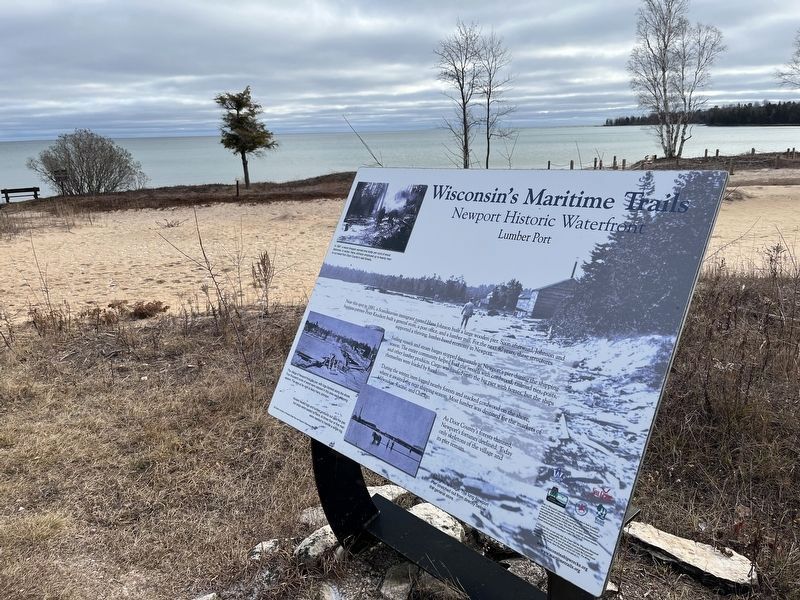
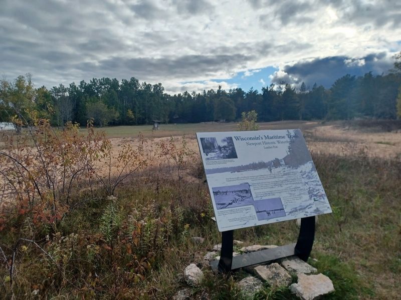
This photo faces southeast, towards the site of the village of Newport is in the background.

Regionally, this marker is on the Door Peninsula. It is also in the American Midwest and in the Corn Belt. Globally, it is in North America, on the Great Lakes, in the Western Hemisphere, in the Western World, and in the Anglosphere. Historically, it finds itself in what was once the territory of the Mississippian Culture and also the Northwest Territory.
Other nearby markers. At least 8 other markers are within 4 miles of this marker, measured as the crow flies: The Village of Newport (within shouting distance of this marker); Welcome to Newport (about 400 feet away, measured in a direct line); Preserving Our Dark Sky Heritage (about 400 feet away); Remnants of Ancient Forests (about 600 feet away); This Forest / Out of Wilderness Into Wilderness (approx.
Photographed by Joel Seewald, October 11, 2025
3. Newport Historic Waterfront Marker
Related marker. Click here for another marker that is related to this marker. Wisconsin's Maritime Trails Marker: De Pere, Wisconsin
Photographed by Sean Flynn, January 1, 2024
4. Newport Historic Waterfront Marker
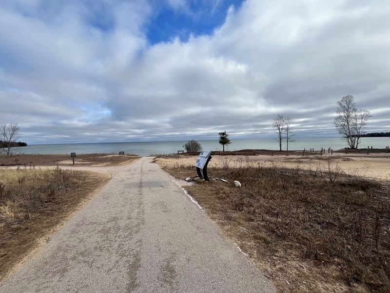
Lake Michigan is in the background, to the east.
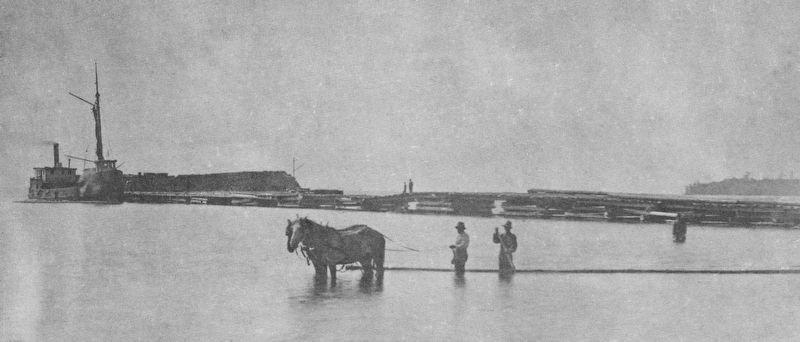
Courtesy of Newport Wilderness Society
5. Historic photo of Newport
Credits. This page was last revised on November 28, 2025. It was originally submitted on January 1, 2024, by Sean P. Flynn of Oak Park, Illinois. This page has been viewed 247 times since then and 37 times this year. Photos: 1. submitted on January 1, 2024, by Sean P. Flynn of Oak Park, Illinois. 2. submitted on January 2, 2024, by Sean P. Flynn of Oak Park, Illinois. 3. submitted on November 26, 2025, by Joel Seewald of Madison Heights, Michigan. 4, 5. submitted on January 2, 2024, by Sean P. Flynn of Oak Park, Illinois. • J. Makali Bruton was the editor who published this page.
