Knoxville in Washington County, Maryland — The American Northeast (Mid-Atlantic)
Lock 34, Harpers Ferry
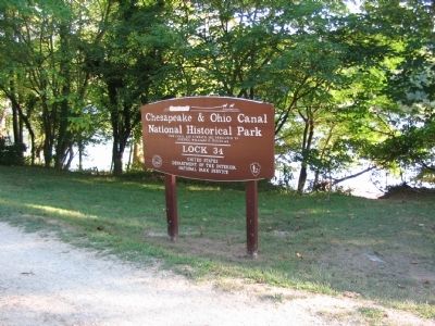
Chesapeake and Ohio Canal National Historical Park
— National Park Service, U.S. Department of the Interior —
Inscription.
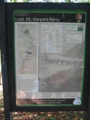
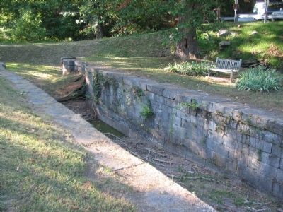
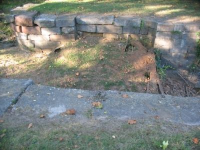
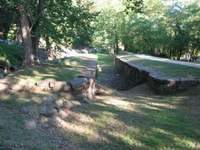
Lock 34 was often referred to as "Goodheart's Lock". Willard Goodheart was the last locktender at this location. Like nearby Lockhouse 33, the lockhouse at Lock 34 was destroyed in the great flood of 1936. Of the 1936 flood, Mr. Goodheart as quoted as saying that he and his family "escaped by boat without our possessions before the house collapsed". One of the most devastating of the post canal era floods, the 1936 flood caused major damage throughout the Potomac River Valley.
Erected by National Park Service, U.S. Department of the Interior.
Topics and series. This historical marker is listed in these topic lists: Disasters • Industry & Commerce • Waterways & Vessels. In addition, it is included in the Chesapeake and Ohio (C&O) Canal series list. A significant historical year for this entry is 1936.
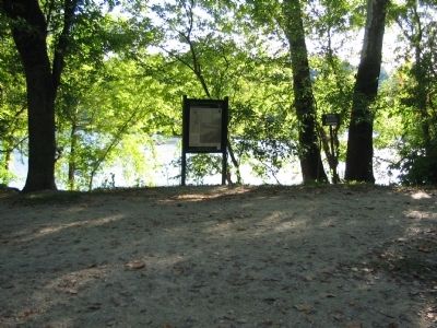
Location. Marker has been permanently removed. It was located near 39° 19.99′ N, 77° 44.341′ W. Marker was in Knoxville, Maryland, in Washington County. Marker was on Harpers Ferry Road, on the right when traveling south. Located along the Chesapeake & Ohio Canal towpath trail, near a pull off area at a sharp turn of Harpers Ferry Road. Touch for map. Marker was at or near this postal address: 734 Harpers Ferry Rd, Knoxville MD 21758, United States of America.
We have been informed that this sign or monument is no longer there and will not be replaced. This page is an archival view of what was.
Other nearby markers. At least 8 other markers are within walking distance of this location. Maryland Heights - Mountain Fortress of Harpers Ferry (approx. 0.4 miles away); St. John Lutheran Church (approx. half a mile away in West Virginia); Harpers Ferry / John Brown’s Fort (approx. half a mile away in West Virginia); St. John's Lutheran Church (approx. half a mile away in West Virginia); The Appalachian Trail and Benton MacKaye (approx. half a mile away in West Virginia); Prize of War (approx. half a mile away in West Virginia); The Harpers Ferry Bandstand (approx. half a mile away in West Virginia); Naval Battery (approx. 0.6 miles away).
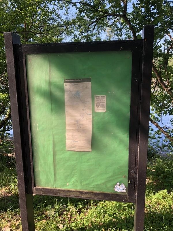
Photographed By Devry Becker Jones (CC0), May 21, 2021
7. Unfortunately, the signage has been removed.
Credits. This page was last revised on August 13, 2022. It was originally submitted on October 30, 2009, by Craig Swain of Leesburg, Virginia. This page has been viewed 1,429 times since then and 34 times this year. Photos: 1, 2, 3, 4, 5. submitted on October 30, 2009, by Craig Swain of Leesburg, Virginia. 6. submitted on October 31, 2009, by Craig Swain of Leesburg, Virginia. 7. submitted on May 21, 2021, by Devry Becker Jones of Washington, District of Columbia.
