
Martelle in Jones County, Iowa — The American Midwest (Upper Plains)
Dillon's Furrow
1839-1989

Photographed by Cosmos Mariner, June 27, 2021
1. Dillon's Furrow Marker
Topics. This historical marker is listed in these topic lists: Roads & Vehicles • Settlements & Settlers. A significant historical year for this entry is 1839.
Location. 42° 1.176′ N, 91° 21.675′ W. Marker is in Martelle, Iowa, in Jones County. It is on South Military Street just north of Hubbell Street, on the right when traveling north. The marker is located on the west side of Martelle City Park. Touch for map. Marker is in this post office area: Martelle IA 52305, United States of America. Touch for directions.

Regionally, this marker is in Eastern Iowa. It is also in the American Midwest and in the Corn Belt. Globally, it is in North America, the Western Hemisphere, the Western World, and the Anglosphere. Historically, it finds itself in what was once the territory of the Mississippian Culture and also the Louisiana Purchase.
Other nearby markers. At least 8 other markers are within 8 miles of this marker, measured as the crow flies: History of Our Town Lisbon, Iowa (approx. 6.9 miles away); The Lincoln Highway (approx. 6.9 miles away); a different marker also named The Lincoln Highway (approx. 7.1 miles away); Uranus (approx. 7.1 miles away); William Abbe (approx. 7.1 miles away); Jones County Remembers (approx. 7.2 miles away); The Old Military Road (approx. 7.2 miles away); a different marker also named The Lincoln Highway (approx. 7.2 miles away).
Related markers. Click here for a list of markers that are related to this marker.
Also see . . . Military Road (Encyclopedia Dubuque).
this page online
The idea for the road was delivered to Congress by W. W. Chapman, a delegate from Iowa Territory in 1826. Presented as a resolution, Chapman's proposal called for a road from Dubuque to Missouri by way of as many county seats as possible. Congress approved the concept. President Van Buren signed the bill in March 1839, authorizing Iowa's first military road and twenty thousand dollars for surveying the location. R. C. Tilghman, a Baltimore, Maryland, surveyor and engineer, was given the job of surveying the route, but a question remains how the road was completed. One account states that Tilghman employed Lyman Dillon of Cascade to plow a furrow using a breaking plow with a yoke of five oxen and under the guidance of an army engineer from Dubuque to Iowa City. This has given the road the nickname "Dillon's Furrow." Dillion was paid three dollars for each of the 86 miles.(Submitted on January 6, 2024, by Cosmos Mariner of Cape Canaveral, Florida.)
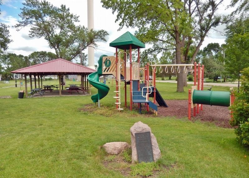
Photographed by Cosmos Mariner, June 27, 2021
2. Dillon's Furrow Marker
Looking east from Military Street. Martelle City Park is in the background. At the time of this photo, Military Street, as well as Hubbell Street (seen in the right background), are still gravel roads.
Credits. This page was last revised on August 19, 2025. It was originally submitted on January 6, 2024, by Cosmos Mariner of Cape Canaveral, Florida. This page has been viewed 2,532 times since then and 307 times this year. Photos: 1, 2. submitted on January 6, 2024, by Cosmos Mariner of Cape Canaveral, Florida.
