Emeryville in Alameda County, California — The American West (Pacific Coastal)
Emeryville’s Mexican Heritage
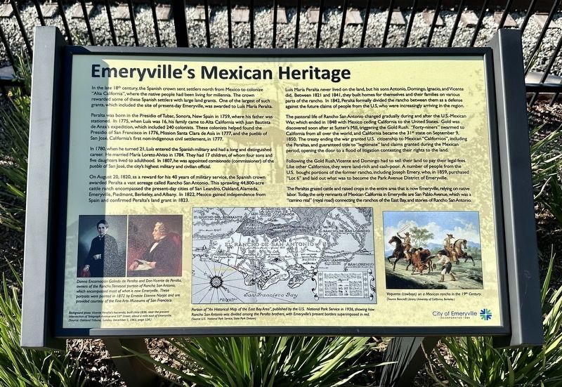
In the late 18th century, the Spanish crown sent settlers north from Mexico to colonize "Alta California", where the native people had been living for millennia. The crown rewarded some of these Spanish settlers with large land grants. One of the largest of such grants, which included the site of present-day Emeryville, was awarded to Luís María Peralta.
Peralta was born in the Presidio of Tubac, Sonora, New Spain in 1759, where his father was stationed. In 1775, when Luís was 16, his family came to Alta California with Juan Bautista de Anza's expedition, which included 240 colonists. These colonists helped found the Presidio of San Francisco in 1776, Mission Santa Clara de Asís in 1777, and the pueblo of San José, California's first non-indigenous civil settlement, in 1777.
In 1780, when he turned 21, Luis entered the Spanish military and had a long and distinguished career. He married Maria Loreto Alviso in 1784. They had 17 children, of whom four sons and five daughters lived to adulthood. In 1807, he was appointed comisionado (commissioner) of the pueblo of San José, the city's highest military and civilian official.
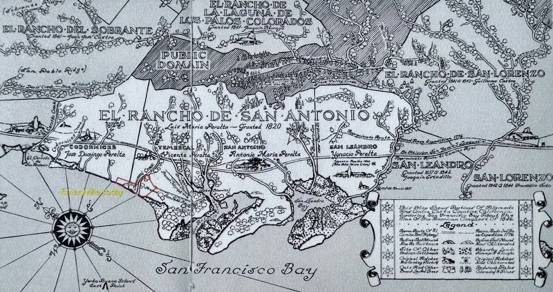
On August 20, 1820, as a reward for his 40 years of military service, the Spanish crown awarded Peralta a vast acreage called Rancho San Antonio. This sprawling 44,800-acre cattle ranch encompassed the present-day cities of San Leandro, Oakland, Alameda, Emeryville, Piedmont, Berkeley, and Albany. In 1822, Mexico gained independence from Spain and confirmed Peralta's land grant in 1823.
Luís Maria Peralta never lived on the land, but his sons Antonio, Domingo, Ignacio, and Vicente did. Between 1821 and 1841, they built homes for themselves and their families on various parts of the rancho. In 1842, Peralta formally divided the rancho between them as a defense against the future claims of people from the US, who were increasingly arriving in the region.
The pastoral life of Rancho San Antonio changed gradually during and after the U.S-Mexican War, which ended in 1848 with Mexico ceding California to the United States. Gold was discovered soon after at Sutter's Mill, triggering the Gold Rush. "Forty-niners" swarmed to California from all over the world, and California became the 31st state on September 9, 1850. The treaty ending the war granted U.S. citizenship to Mexican "Californios", including the Peraltas, and guaranteed title to "legitimate" land claims granted during the Mexican period, opening the door to a flood of litigation contesting their rights to the land.
Following the Gold Rush, Vicente and Domingo had to sell their land to pay their legal fees. Like other Californios, they were land-rich
and cash-poor. A number of people from the U.S. bought portions of the former rancho, including Joseph Emery, who, in 1859, purchased "Lot 6" and laid out what was to become the Park Avenue District of Emeryville.
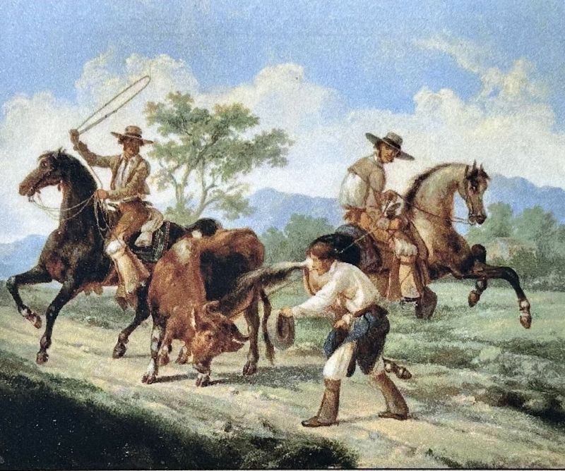
The Peraltas grazed cattle and raised crops in the entire area that is now Emeryville, relying on native labor. Today, the only remnants of Mexican California in Emeryville are San Pablo Avenue, which was a "camino real" (royal road) connecting the ranchos of the East Bay, and stories of Rancho San Antonio.
Erected 2023 by City of Emeryville.
Topics. This historical marker is listed in these topic lists: Hispanic Americans • Settlements & Settlers. A significant historical date for this entry is August 20, 1820.
Location. 37° 50.022′ N, 122° 17.438′ W. Marker is in Emeryville, California, in Alameda County. Marker can be reached from Hubbard Street. Touch for map. Marker is in this post office area: Emeryville CA 94608, United States of America. Touch for directions.
Other nearby markers. At least 8 other markers are within walking distance of this marker. Two Emeryville Pioneers (about 300 feet away, measured in a direct line); Emeryville’s Horse Racetrack (about 400 feet away); Northern Railway (about 500 feet away); Judson Manufacturing (about 600 feet away); Xučyun Park (Huchiun Park) (about 600 feet away); Welcome to the Emeryville Greenway

Photographed By U.S. National Park Service, 1936
3. Marker detail: map and caption
Portion of “An Historical Map of the East Bay”, published by the U.S. National Park Service in 1936, showing how Rancho San Antonio was divided among the Peralta Brothers, with Emeryville’s present borders superimposed in red.
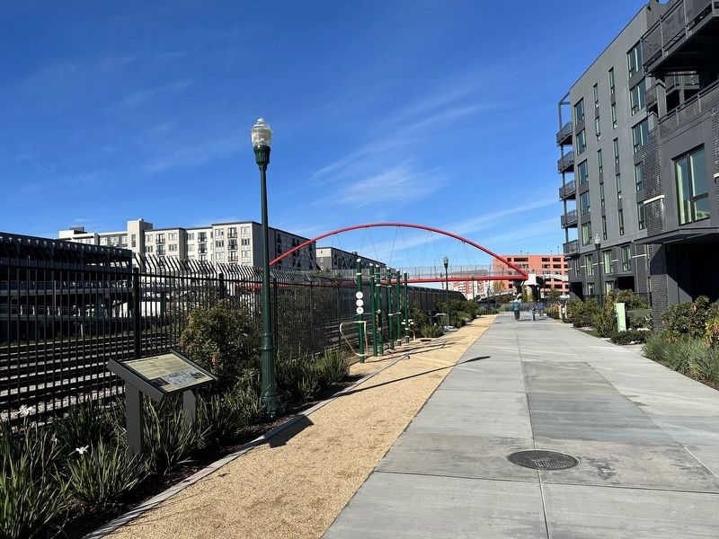
More about this marker. The marker is located on the Emeryville Greenway, about 800 feet north of the start of the Greenway at Sherwin Avenue.
Related marker. Click here for another marker that is related to this marker.
Also see . . . Luis María Peralta (Wikipedia). (Submitted on January 6, 2024.)
Credits. This page was last revised on January 6, 2024. It was originally submitted on January 6, 2024, by Andrew Ruppenstein of Lamorinda, California. This page has been viewed 62 times since then. Photos: 1, 2, 3, 4. submitted on January 6, 2024, by Andrew Ruppenstein of Lamorinda, California.


