Near Mullin in Mills County, Texas — The American South (West South Central)
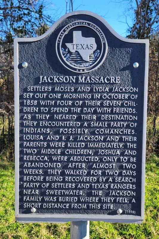
Jackson Massacre
Erected 1998 by Texas Historical Commission. (Marker Number 12157.)
Topics. This historical marker is listed in these topic lists: Native Americans • Settlements & Settlers • Wars, US Indian. A significant historical month for this entry is October 1858.
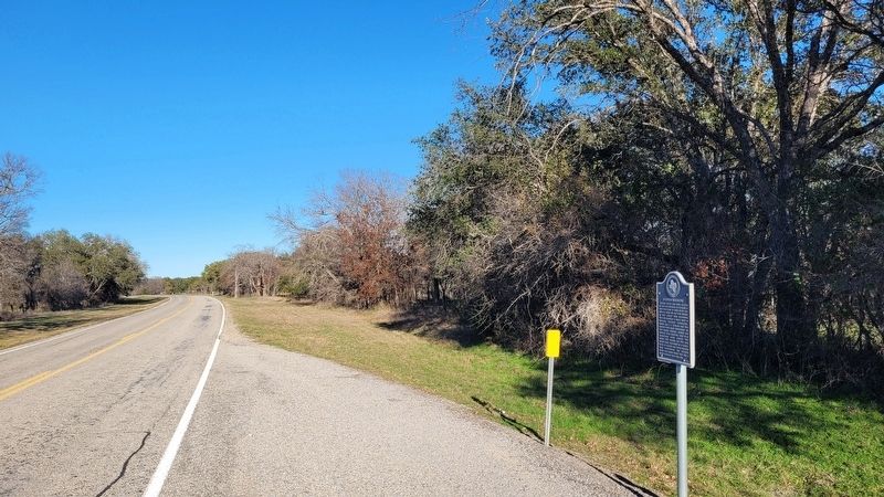
Location. 31° 30.342′ N, 98° 45.093′ W. Marker is near Mullin, Texas, in Mills County. Marker is on Farm to Market Road 573, 3.3 miles north of Farm to Market Road 574, on the right when traveling north. The marker is located along the highway. Touch for map. Marker is in this post office area: Mullin TX 76864, United States of America. Touch for directions.
Other nearby markers. At least 8 other markers are within 7 miles of this marker, measured as the crow flies. Site of Chesser Valley Community (approx. 2.7 miles away); Rural Communities of Western Mills County (approx. 3.1 miles away); Ratler, Texas and the Renfro Dam (approx. 3˝ miles away); Williams Ranch Cemetery (approx. 5.7 miles away); John Williams (approx. 5.7 miles away); Mullin United Methodist Church (approx. 6.3 miles away); Site of the Settlement of Williams Ranch (approx. 6.4 miles away); Regency Suspension Bridge (approx. 6.9 miles away). Touch for a list and map of all markers in Mullin.
Credits. This page was last revised on January 6, 2024. It was originally submitted on January 6, 2024, by James Hulse of Medina, Texas. This page has been viewed 86 times since then. Photos: 1, 2. submitted on January 6, 2024, by James Hulse of Medina, Texas.

