Emeryville in Alameda County, California — The American West (Pacific Coastal)
Shell Mound Park
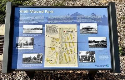
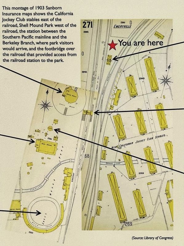
In 1877, across the railroad tracks from here, Edward Wiard built a dance pavilion on top of an ancient shell mound, either oblivious to, or choosing to ignore, its cultural significance to the indigenous people. Thus, Shell Mound Park was created. Eventually, the park had picnic grounds, two dancing pavilions, beer gardens, a carousel, shooting ranges, and a track for foot and bicycle races with a 3,000-seat grandstand.
Shortly after it opened, the Northern Railway began running excursion trains to Shell Mound Park from Oakland's Long Wharf, where passengers arrived by ferry from San Francisco. An outing to the park was typically an all-day affair. During almost 50 years of operation, the park hosted hundreds of events for all types of unions, clubs, and societies.
In 1924, the park was closed, and the shell mound was leveled to make way for industrial development. Today, the Bay Street mixed use center occupies the site of Shell Mound Park. A "memorialization park" along Temescal Creek commemorates the ancient shell mound and the indigenous people of the area, who still live on this land.
Erected 2023 by City of Emeryville. (Marker Number 335.)
Topics and series. This historical marker is listed in these topic lists: Native Americans • Parks & Recreational Areas • Railroads & Streetcars. In addition, it is included in the California Historical Landmarks series list. A significant historical year for this entry is 1877.
Location. 37° 50.203′ N, 122° 17.461′ W. Marker is in Emeryville, California, in Alameda County. Marker can be reached from Horton Street. Touch for map. Marker is in this post office area: Emeryville CA 94608, United States of America. Touch for directions.
Other nearby markers. At least 8 other markers are within walking distance of this marker. Northern Railway (about 600 feet away, measured in a direct line); PCR Park (about 700 feet away); Emeryville’s Horse Racetrack (about 800 feet away); Emeryville’s Mexican Heritage (approx. 0.2 miles away); California & Nevada Railroad (approx. ¼ mile away); Two Emeryville Pioneers (approx. ¼ mile away); Judson Manufacturing (approx. 0.3 miles away); Xučyun Park (Huchiun Park) (approx. 0.3 miles away). Touch for a list and map of all markers in Emeryville.
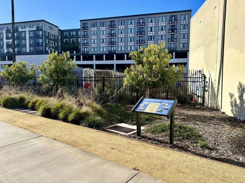
More about this marker. The marker is located on the west side of the Emeryville Greenway.
Also see . . .
1. Emeryville Shellmound (Wikipedia).
Overview: The Emeryville Shellmound, in Emeryville, California, is a sacred burial site of the Ohlone people, a once-massive archaeological shell midden deposit (dark, highly organic soil, temple and burial ground containing a high concentration of human food waste remains, including shellfish). It was one of a complex of five or six mounds along the mouth of the perennial Temescal Creek, on the east shore of San Francisco Bay between Oakland and Berkeley. It was the largest of the over 425 shellmounds that surrounded San Francisco Bay. The site of the Shellmound is now a California Historical Landmark (#335).(Submitted on January 8, 2024.)
2. Shell Mound Park (Emeryville Historical Society). (Submitted on January 8, 2024.)
3. There Were Once More Than 425 Shellmounds in the Bay Area. Where Did They Go? (KQED).
Excerpt: You may associate the Emeryville shoreline with shops, or the Scandinavian furniture store Ikea. But what you may not know is that before this place was a commercial area, a different human-made structure towered above Bay Area residents: a shellmound.(Submitted on January 8, 2024.)
Credits. This page was last revised on January 28, 2024. It was originally submitted on January 8, 2024, by Andrew Ruppenstein of Lamorinda, California. This page has been viewed 73 times since then. Photos: 1, 2, 3. submitted on January 8, 2024, by Andrew Ruppenstein of Lamorinda, California.


