Near McDowell in Highland County, Virginia — The American South (Mid-Atlantic)
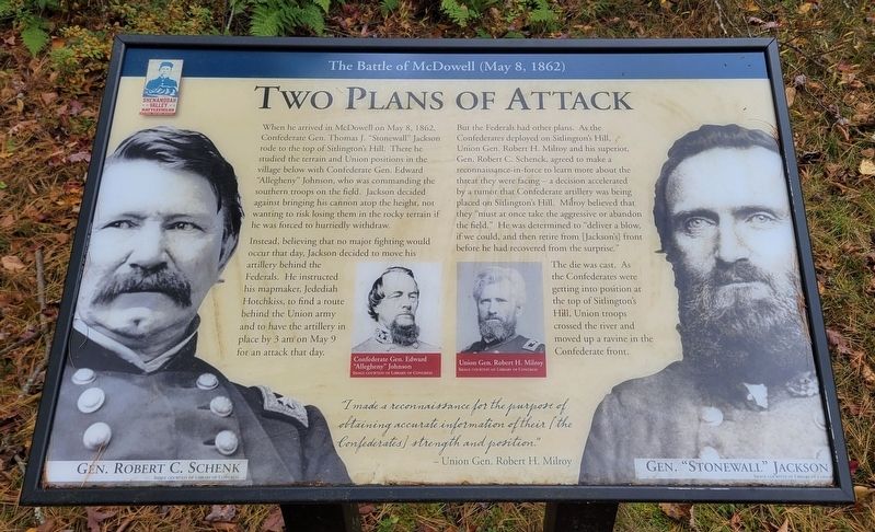
Two Plans Of Attack
The Battle of McDowell (May 8, 1862)
When he arrived in McDowell on May 8, 1862, Confederate Gen. Thomas J. "Stonewall" Jackson rode to the top of Sitlington's Hill. There he studied the terrain and Union positions in the village below with Confederate Gen. Edward "Allegheny" Johnson, who was commanding the southern troops on the field. Jackson decided against bringing his cannon atop the height, not wanting to risk losing them in the rocky terrain if he was forced to hurriedly withdraw.
Instead, believing that no major fighting would occur that day, Jackson decided to move his artillery behind the Federals. He instructed his mapmaker, Jedediah Hotchkiss, to find a route behind the Union army and to have the artillery in place by 3 am on May 9 for an attack that day.
But the Federals had other plans. As the Confederates deployed on Sitlington's Hill, Union Gen. Robert H. Milroy and his superior, Gen. Robert C. Schenck, agreed to make a reconnaissance-in-force to learn more about the threat they were facing - a decision accelerated by a rumor that Confederate artillery was being placed on Sitlington's Hill. Milroy believed that they "must at once take the aggressive or abandon the field." He was determined to "deliver a blow, if we could, and then retire from [Jackson's] front before he had recovered from the surprise."
The die was cast. As the Confederates were getting into position at the top of Sitlington's Hill, Union troops crossed the river and moved up a ravine in the Confederate front.
"I made a reconnaissance for the purpose of obtaining accurate information of their (the Confederates) strength and position."
- Union Gen. Robert H. Milroy
(Captions):
Confederate Gen. Edward "Allegheny" Johnson
Image Courtesy of Library of Congress
Union Gen. Robert H. Milroy
Image Courtesy of Library of Congress
Gen. Robert C. Schenk
Image Courtesy of Library of Congress
Gen. "Stonewall" Jackson Image Courtesy of Library of Congress
Erected 2022 by Shenandoah Valley Battlefields Foundation.
Topics. This historical marker is listed in this topic list: War, US Civil. A significant historical date for this entry is May 8, 1862.
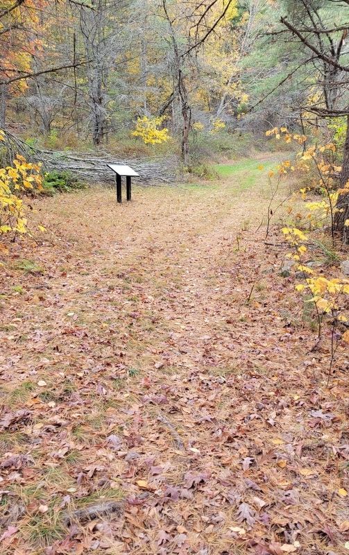
Location. 38° 19.612′ N, 79° 27.971′ W. Marker is near McDowell, Virginia, in Highland County. Marker can be reached from Highland Turnpike (U.S. 250) 1˝ miles east of Watertank Road (Virginia Route 656), on the right when traveling east. Marker is located at Stop 6 on the McDowell Battlefield Trail. Touch for map. Marker is in this post office area: Mc Dowell VA 24458, United States of America. Touch for directions.
Other nearby markers. At least 8 other markers are within walking distance of this marker. Confederates Hold the High Ground (about 500 feet away, measured in a direct line); Moving Uphill (about 600 feet away); Anthony's Burg (approx. 0.2 miles away); Battle of McDowell (approx. 0.2 miles away); A Road From The Past (approx. 0.2 miles away); The Ravines (approx. 0.3 miles away); The Confederate Right (approx. 0.4 miles away); Sitlington's Hill (approx. half a mile away). Touch for a list and map of all markers in McDowell.
Credits. This page was last revised on January 19, 2024. It was originally submitted on January 9, 2024, by Bradley Owen of Morgantown, West Virginia. This page has been viewed 53 times since then. Photos: 1, 2. submitted on January 9, 2024, by Bradley Owen of Morgantown, West Virginia.

