Near Radford in Pulaski County, Virginia — The American South (Mid-Atlantic)
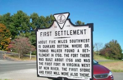
First Settlement
Photographed by Kathy Walker, October 19, 2009
1. First Settlement Marker
Erected 1929 by Conservation and Development Commission. (Marker Number K-29.)
Topics and series. This historical marker is listed in these topic lists: Colonial Era • Forts and Castles • Industry & Commerce • Settlements & Settlers. In addition, it is included in the Virginia Department of Historic Resources (DHR) series list. A significant historical year for this entry is 1750.
Location. 37° 8.769′ N, 80° 36.046′ W. Marker is near Radford, Virginia, in Pulaski County. It is on Lee Hwy (U.S. 11), in the median. Located at a crossover. Touch for map. Marker is at or near this postal address: 741 Warden Court, Radford VA 24141, United States of America. Touch for directions.

Regionally, this marker is in Southwest Virginia, in the Blue Ridge Highlands, and in the New River Gorge. It is also in the American South, specifically in the Upper South, in Appalachia, and
this page online
Other nearby markers. At least 8 other markers are within 2 miles of this marker, measured as the crow flies: Page's Meeting House (approx. 0.4 miles away); a different marker also named Page's Meeting House (approx. 0.6 miles away); New River Bridge (approx. 1.4 miles away); The New River (approx. 1.4 miles away); Montgomery County / Pulaski County (approx. 1.4 miles away); Mary Draper Ingles (approx. 1.4 miles away); Westward Migration (approx. 1.4 miles away); American Hackberry (approx. 1.4 miles away). Touch for a list and map of all markers in Radford.
Other markers no longer nearby. Page’s Meeting House (was approx. 0.4 miles away but has been replaced with another marker now near it); a different marker also named New River Bridge (was approx. 1.4 miles away but has been replaced
Photographed by Kathy Walker, October 19, 2009
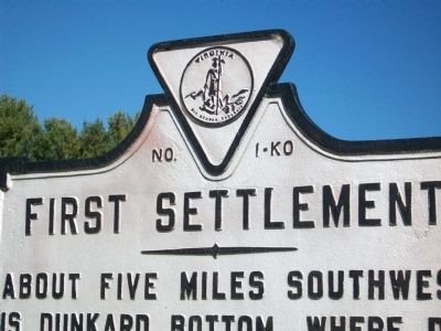
2. First Settlement Marker
Regarding First Settlement. Marker should read “... Thomas Walker founded a settlement ...”. This marker is labled No. KO-1, but it is listed in all the official guide books going back to the early 1930s as K-29. The marker numbered KO-1 in the official guide books is 270 miles away in the Tidewater city of Suffolk and has nothing to do with this marker.
Photographed by Kathy Walker, October 19, 2009
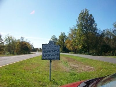
3. First Settlement Marker
Looking south on Route 11
Photographed by Bernard Fisher, April 2, 2011
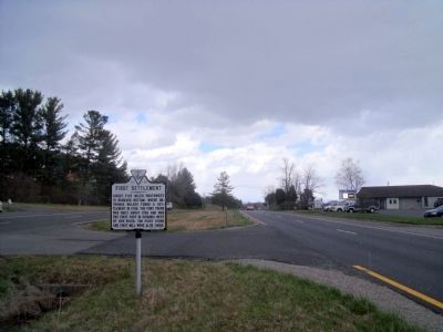
4. First Settlement Marker (facing north)
Credits. This page was last revised on December 27, 2019. It was originally submitted on October 31, 2009, by Kathy Walker of Stafford, Virginia. This page has been viewed 1,492 times since then and 38 times this year. Photos: 1, 2, 3. submitted on October 31, 2009, by Kathy Walker of Stafford, Virginia. 4. submitted on April 4, 2011, by Bernard Fisher of Richmond, Virginia. • Bill Pfingsten was the editor who published this page.
