Near McDowell in Highland County, Virginia — The American South (Mid-Atlantic)
Moving Uphill
The Battle of McDowell (May 8, 1862)
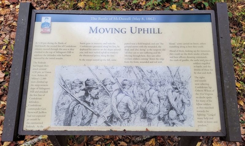
The Federals had begun their attack around 4:30 pm, as Union Gen. Robert H. Milroy's 2,300 men climbed up the steep western slope of Sitlington's Hill and attacked the first line of Confederate defenders. Confederate commander Gen. Stonewall Jackson had not expected an assault by the outmanned Federals. As the battle grew in intensity, and with the Confederates pressured along the line, he deployed his reserves on the slopes around you, and men rushed uphill to reinforce the threatened points along the line.
As the troops started up the hill, some passed near a field hospital, and saw "the ground strewn with the wounded, the dead, and [the] dying" as the surgeons did "all they can to save suffering and life." Moving through here, they saw other stricken soldiers coming "down the ridge from the front, wounded and red with blood," some carried on litters, others stumbling along as best they could.
Ahead of them, looking up the mountain, they could see the thick smoke of battle, and hear officers shouting commands, the crash of gunfire, the oaths and cries of soldiers engulfed in battle, and the shrieks of those hit by shot and shell.
The sights and sounds were sobering. Confederate Sgt. Osborn Wilson of the 31st Virginia no doubt spoke for many of his fellow soldiers as they marched towards the fighting: "God of many help and make us brave and prudent."
(Caption):
Confederate troops on the march, as seen by Southern artist Allen C. Redwood. Image courtesy of The Project Gutenberg.
Erected 2022 by Shenandoah Valley Battlefields Foundation.
Topics. This historical marker is listed in this topic list: War, US Civil.
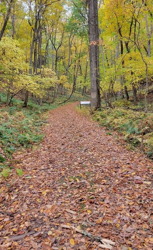
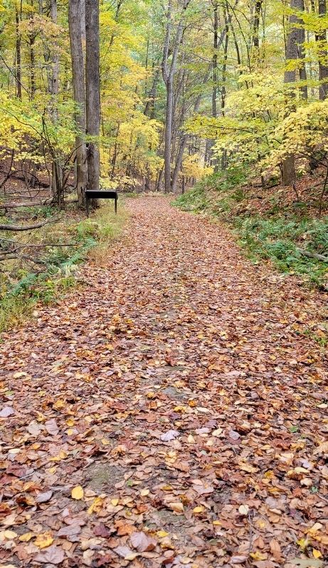
Location. 38° 19.628′ N, 79° 28.091′ W. Marker is near McDowell, Virginia, in Highland County. Marker can be reached from Highland Turnpike (U.S. 250) 1½ miles east of Watertank Road (Virginia Route 656), on the right when traveling east. Marker is located at Stop 7 on the McDowell Battlefield Trail. Touch for map. Marker is in this post office area: Mc Dowell VA 24458, United States of America. Touch for directions.
Other nearby markers. At least 8 other markers are within walking distance of this marker. Two Plans Of Attack (about 600 feet away, measured in a direct line); Confederates Hold the High Ground (approx. 0.2 miles away); The Ravines (approx. 0.2 miles away); Anthony's Burg (approx. ¼ mile away); Battle of McDowell
(approx. ¼ mile away); A Road From The Past (approx. ¼ mile away); The Confederate Right (approx. 0.4 miles away); a different marker also named Battle of McDowell (approx. 0.4 miles away). Touch for a list and map of all markers in McDowell.
Credits. This page was last revised on January 19, 2024. It was originally submitted on January 10, 2024, by Bradley Owen of Morgantown, West Virginia. This page has been viewed 64 times since then. Photos: 1, 2, 3. submitted on January 10, 2024, by Bradley Owen of Morgantown, West Virginia.


