Near McDowell in Highland County, Virginia — The American South (Mid-Atlantic)
Sitlington's Hill
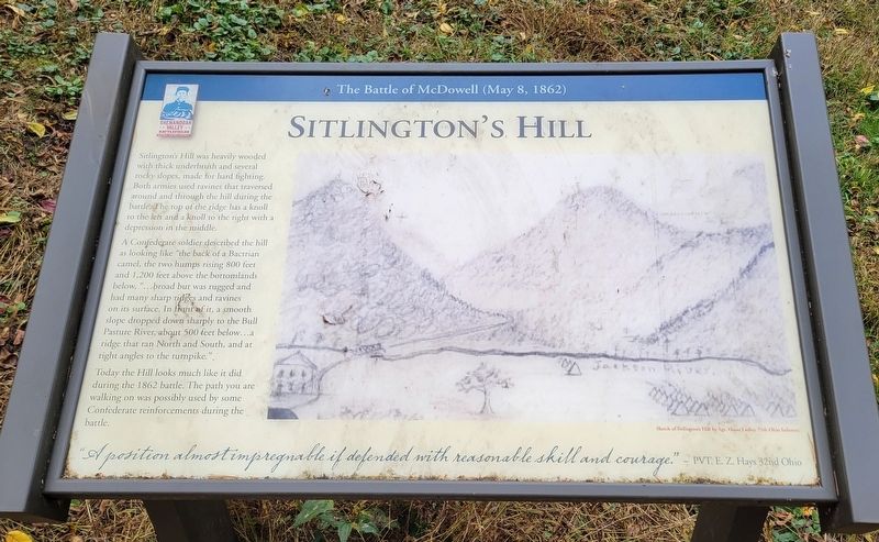
The Battle of McDowell (May 8, 1862)
Sitlington's Hill was heavily wooded with thick underbrush and several rocky slopes, made for hard fighting. Both armies used ravines that traversed around and through the hill during the battle. The top of the ridge has a knoll to the left and a knoll to the right with a depression in the middle.
A Confederate soldier described the hill as looking like "the back of a Bactrian camel, the two humps rising 800 feet and 1,200 feet above the bottomlands below, "...broad but was rugged and had many sharp ridges and ravines on its surface. In front of it, a smooth slope dropped down sharply to the Bull Pasture River, about 500 feet below...a ridge that ran North and South, and at right angles to the turnpike."
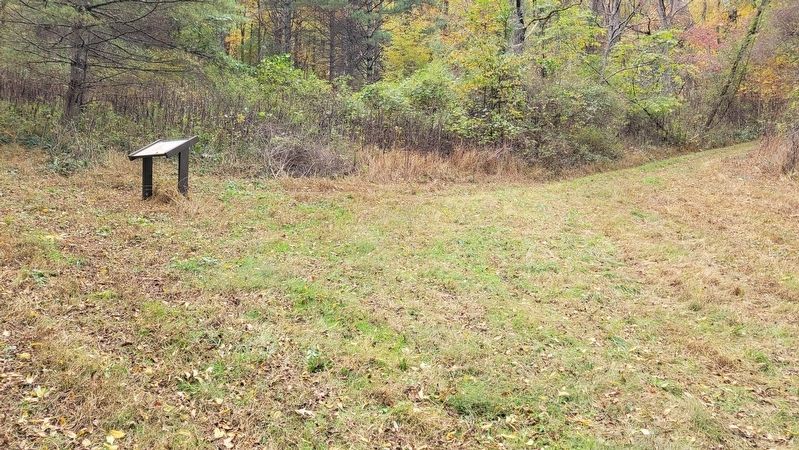
Today the Hill looks much like it did during the 1862 battle. The path you are walking on was possibly used by some Confederate reinforcements during the battle.
"A position almost impregnable if defended with reasonable skill and courage." - PVT. E Z. Hays 32nd Ohio
(Caption):
Sketch of Sitlington's Hill by Sgt. Oscar Ladley 75th Ohio Infantry.
Erected by Shenandoah Valley Battlefields Foundation.
Topics. This historical marker is listed in this topic list: War, US Civil. A significant historical year for this entry is 1862.
Location. 38° 19.344′ N, 79° 28.369′ W. Marker is near McDowell, Virginia, in Highland County. Marker can be reached from Highland Turnpike (U.S. 250) 1½ miles east of Watertank Road (Virginia Route 656), on the right when traveling east. Marker is located at Stop 10 on the McDowell Battlefield Trail. Touch for map. Marker is in this post office area: Mc Dowell VA 24458, United States of America. Touch for directions.
Other nearby markers. At least 8 other markers are within walking distance of this marker. The Confederate Right (about 500 feet away, measured in a direct line); A Spectacular Show (about 600 feet away); The Battle Rages (about 600 feet away); An Attack Repulsed (approx. 0.2 miles away); The 12th Georgia (approx. 0.2 miles away); A Reconnaissance In Force (approx. ¼ mile away); The Ravines (approx. ¼ mile away); A Road From The Past (approx. 0.4 miles away). Touch for a list and map of all markers in McDowell.
Credits. This page was last revised on January 11, 2024. It was originally submitted on January 11, 2024, by Bradley Owen of Morgantown, West Virginia. This page has been viewed 53 times since then. Photos: 1, 2. submitted on January 11, 2024, by Bradley Owen of Morgantown, West Virginia.

