Near McDowell in Highland County, Virginia — The American South (Mid-Atlantic)
An Attack Repulsed
The Battle of McDowell (May 8, 1862)
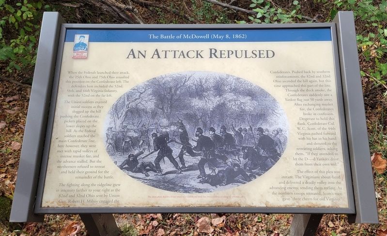
When the Federals launched their attack, the 25th Ohio and 75th Ohio assaulted this position on the Confederate left. The defenders here included the 52nd, 58th, and 44th Virginia Infantry, with the 52nd on the far left.
The Union soldiers enjoyed initial success as they slogged up the hill pushing the Confederate pickets placed on the lower slopes up the hill. As the Federal soldiers reached the main Confederate line, here however, they were met with rapid volleys of intense musket fire, and the advance stalled. But the northerners refused to retreat and held their ground for the remainder of the battle.
The fighting along the ridgeline grew in intensity farther to your right as the 82nd and 32nd Ohio sent by Union Gen. Robert H. Milroy engaged the Confederates. Pushed back by southern reinforcements, the 82nd and 32nd Ohio ascended the hill again, but this time approached this part of the line. Through the thick smoke, the Confederates suddenly saw a Yankee flag just 50 yards away. After exchanging musket fire, the Confederates broke in confusion. Desperate to hold this flank, Confederate Col. W. C. Scott, of the 44th Virginia rushed forward with his hat in his hand and shouted to the retreating soldiers, asking them, "If they intended to let the D----d Yankees drive them from their own soil."
The effect of this plea was instant. The Virginians about-faced and delivered a deadly volley into the advancing enemy, sending them reeling. As the northern troops retreated, Scott's men gave "three cheers for old Virginia."
(Caption):
The above phato depicts a Union attack on a Confederate battle line. Image courtesy of Library of Congress
Erected 2022 by Shenandoah Valley Battlefields Foundation.
Topics. This historical marker is listed in this topic list: War, US Civil.
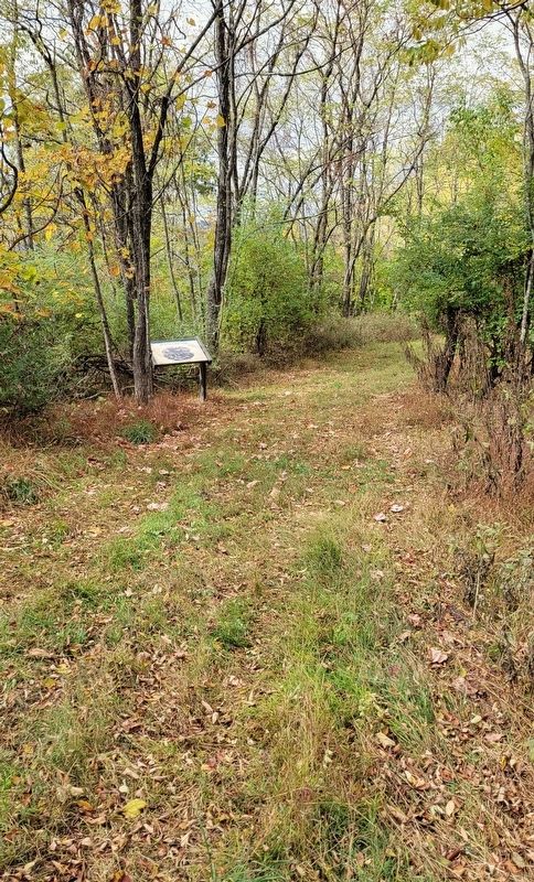
Location. 38° 19.213′ N, 79° 28.444′ W. Marker is near McDowell, Virginia, in Highland County. Marker can be reached from Highland Turnpike (U.S. 250) 1½ miles east of Watertank Road (Virginia Route 656), on the right when traveling east. Marker is located at Stop 14 on the McDowell Battlefield Trail. Touch for map. Marker is in this post office area: Mc Dowell VA 24458, United States of America. Touch for directions.
Other nearby markers. At least 8 other markers are within walking distance of this marker. A Reconnaissance In Force (about 400 feet away, measured in a direct line); A Spectacular Show (about 700 feet away); Sitlington's Hill (approx. 0.2 miles away); The Battle Rages (approx. 0.2 miles away); The Confederate Right (approx. ¼ mile away); The 12th Georgia (approx. ¼ mile away); The Ravines (approx. 0.4 miles away); A Road From The Past (approx. half a mile away). Touch for a list and map of all markers in McDowell.
Credits. This page was last revised on January 19, 2024. It was originally submitted on January 13, 2024, by Bradley Owen of Morgantown, West Virginia. This page has been viewed 52 times since then. Photos: 1, 2. submitted on January 13, 2024, by Bradley Owen of Morgantown, West Virginia.

