Near Fort Towson in Choctaw County, Oklahoma — The American South (West South Central)
Doaksville History Trail
A Short Walk Into An Intriguing Past
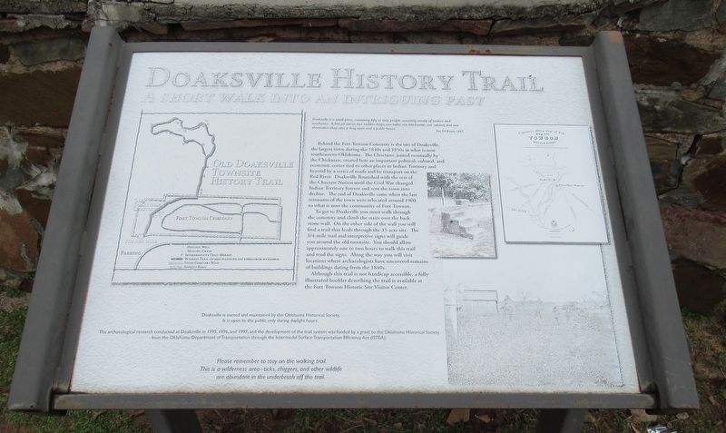
Doaksville is a small place, containing fifty or sixty people, consisting mostly of traders and mechanics. It has six stores, two saddler shops, one tailor, one blacksmith, one cabinet, and one shoemaker shop, also a drug store and a public house.
Rev. P.P. Brown, 1847
Behind the Fort Towson Cemetery is the site of Doaksville, the largest town during the 1840s and 1850s in what is now southeastern Oklahoma. The Choctaws, joined eventually by the Chickasaw, created here an important political, cultural, and economic center tied to other places in Indian Territory and beyond by a series of roads and by transport on the Red River. Doaksville flourished with the rest of the Choctaw Nation until the Civil War changed Indian Territory forever and sent the town into decline. The end of Doaksville came when the last remnants of the town were relocated around 1900 to what is now the community of Fort Towson.
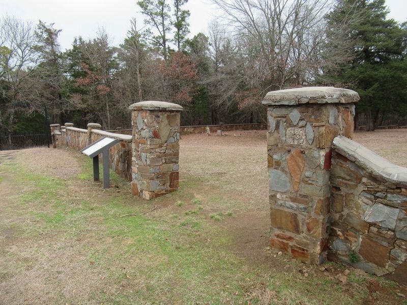
To get to Doaksville you must walk through the cemetery and climb the stairs over the back stone wall. On the other side of the wall you will find a trail that leads through the 35-acre site. The 3/4-mile trail and interpretive signs will guide you around the old townsite. You should allow approximately one to two hours to walk this trail and read the signs. Along the way you will visit locations where archaeologists have uncovered remains of buildings dating from the 1840s.
Although this trail is not handicap accessible, a fully illustrated booklet describing the trail is available at the Fort Town Historic Site Visitor Center.
Doaksville is owned and maintained by the Oklahoma Historical Society. It is open to the public only during daylight hours.
The archaeological research conducted at Doaksville in 1995, 1996, and 1997, and the development of the trail system was funded by a grant to the Oklahoma Historical Society from the Oklahoma Department of Transportation through the Intermodal Surface Transportation Efficiency Act (ISTEA).
Erected by Oklahoma Historical Society.
Topics. This historical marker is listed in these topic lists: Anthropology & Archaeology • Native Americans • Settlements & Settlers.
Location. 34° 2.124′ N, 95° 16.431′ W. Marker is near Fort Towson, Oklahoma, in Choctaw County. Marker is on Red Road, 0.9 miles north of Tram Road, on the right when traveling north. Touch for map. Marker is in this post office area: Fort Towson OK 74735, United States of America. Touch for directions.
Other nearby markers. At least 8 other markers are within walking distance of this marker. Old Doaksville Cemetery (within shouting distance of this marker); Roads and Rivers (about 600 feet away, measured in a direct
line); ...A Small But Pleasant Looking Village (about 600 feet away); The End of Doaksville (about 800 feet away); The Treaty of Doaksville, 1837 (approx. 0.2 miles away); Doaksville Cemetery (approx. 0.2 miles away); Dedicated To Veterans Who Served (approx. 0.2 miles away); Archaeology at Doaksville (approx. 0.2 miles away). Touch for a list and map of all markers in Fort Towson.
Credits. This page was last revised on January 16, 2024. It was originally submitted on January 14, 2024, by Jason Armstrong of Talihina, Oklahoma. This page has been viewed 49 times since then. Photos: 1, 2, 3. submitted on January 14, 2024, by Jason Armstrong of Talihina, Oklahoma. • J. Makali Bruton was the editor who published this page.


