Near McDowell in Highland County, Virginia — The American South (Mid-Atlantic)
A Reconnaissance In Force
The Battle of McDowell (May 8, 1862)
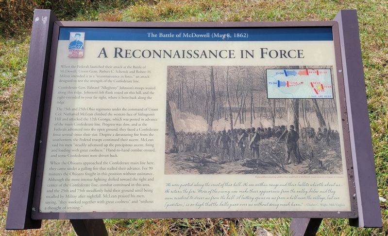
When the Federals launched their attack at the Battle of McDowell, Union Gens. Robert C. Schenck and Robert H. Milroy intended it as a "reconnaissance in force," an attack designed to test the strength of the Confederate line.
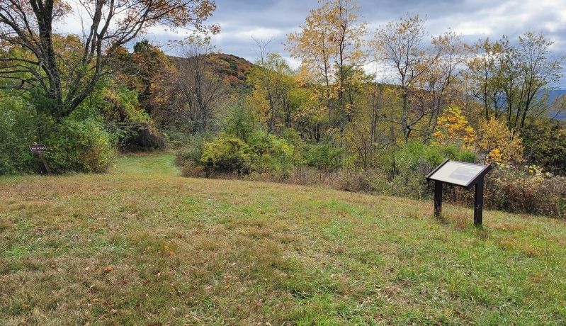
Confederate Gen. Edward "Allegheny" Johnson's troops waited along this ridge. Johnson's left flank rested on this hill, and the right extended to your far right, where it bent back along the ridge.
The 75th and 25th Ohio regiments under the command of Union Col. Nathaniel McLean climbed the western face of Sitlington's Hill and attacked the 12th Georgia, which was posted in advance of the main Confederate line. Progress was slow, and as the Federals advanced into the open ground, they faced a Confederate force several times their size. Despite a devastating fire from the southerners, the Federal troops continued their ascent. McLean said his men "steadily advanced up the precipitous ascent, firing and loading with great coolness." Hand-to-hand combat ensued, and some Confederates were driven back.
When the Ohioans approached the Confederate main line here, they came under a galling fire that stalled their advance. For 90 minutes the Ohioans fought in this position without assistance. Although the most intense fighting shifted toward the right and center of the Confederate line, combat continued in this area, and the 25th and 75th steadfastly held their ground until being recalled by Milroy after nightfall. McLean praised his men, saying, "they worked together with great coolness" and "without a thought of retiring."
"We were posted along the crest of this hill...We are within range and their bullets whistle about us... We return the fire. More of the enemy now make their appearance from the valley below and they seem resolved to drive us from the hill. A battery opens on us from a hill near the village, but our (position) is so high that the balls pass over us without doing much harm." - Charles C. Wight, 58th Virginia
(Caption):
Union soldiers attacking uphill as they would have at McDowell. Image courtesy of Library of Congress
Erected 2022 by Shenandoah Valley Battlefields Foundation.
Topics. This historical marker is listed in this topic list: War, US Civil.
Location. 38° 19.149′ N, 79° 28.436′ W. Marker is near McDowell, Virginia, in Highland County. Marker can be reached from Highland Turnpike (U.S. 250) 1½ miles east of Watertank Road (Virginia Route 656), on the right when traveling east. Marker is located at Stop 15 on the McDowell Battlefield Trail. Touch for map. Marker is in this post office area: Mc Dowell VA 24458, United States of America. Touch for directions.
Other nearby markers. At least 8 other markers are within walking distance of this marker. An Attack Repulsed (about 400 feet away, measured in a direct line); A Spectacular Show (approx. 0.2 miles away); Sitlington's Hill (approx. ¼ mile away); The Battle Rages (approx. ¼ mile away); The Confederate Right (approx. 0.3 miles away); The 12th Georgia (approx. 0.4 miles away); The Ravines (approx. half a mile away); A Road From The Past (approx. 0.6 miles away). Touch for a list and map of all markers in McDowell.
Credits. This page was last revised on January 19, 2024. It was originally submitted on January 14, 2024, by Bradley Owen of Morgantown, West Virginia. This page has been viewed 62 times since then. Photos: 1, 2. submitted on January 14, 2024, by Bradley Owen of Morgantown, West Virginia.

