Downtown Jersey City in Hudson County, New Jersey — The American Northeast (Mid-Atlantic)
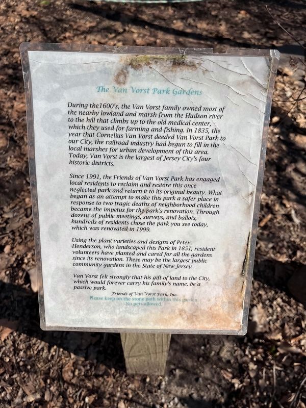
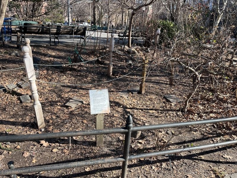
The Van Vorst Park Gardens
— Friends of Van Vorst Park, Inc. —
During the 1600's, the Van Vorst family owned most of the nearby lowland and marsh from the Hudson river to the hill that climbs up to the old medical center, which they used for farming and fishing. In 1835, the year that Cornelius Van Vorst deeded Van Vorst Park to our City, the railroad industry had begun to fill the local marshes for urban development of this area. Today, Van Vorst is the largest of Jersey City's four historic districts.
Since 1991, the Friends of Van Vorst Park has engaged local residents to reclaim and restore this once neglected park and return it to its original beauty. What began as an attempt to make this park a safer place in response to two tragic deaths of neighborhood children became the impetus for the park's renovation. Through dozens of public meetings, surveys, and ballots, hundreds of residents chose the park you see today, which was renovated in 1999.
Using plant varieties and designs of Peter Henderson, who landscaped this Park in 1851, resident volunteers have planted and cared for all the gardens since its renovation. These may be the largest public community gardens in the State of New Jersey.
Van Vorst felts strongly that his give of land to the City, which would forever carry his family's name, be a passive park.
No pets allowed.
Erected by Friends of Van Vorst Park, Inc.
Topics. This historical marker is listed in these topic lists: Charity & Public Work • Colonial Era • Parks & Recreational Areas • Settlements & Settlers. A significant historical year for this entry is 1835.
Location. 40° 43.071′ N, 74° 2.813′ W. Marker is in Jersey City, New Jersey, in Hudson County. It is in Downtown Jersey City. Marker can be reached from York Street west of Barrow Street, on the left when traveling east. Touch for map. Marker is in this post office area: Jersey City NJ 07302, United States of America. Touch for directions.
Other nearby markers. At least 8 other markers are within walking distance of this marker. Van Vorst Park (here, next to this marker); Children's Garden of Van Vorst Park (within shouting distance of this marker); a different marker also named Van Vorst Park (within shouting distance of this marker); Franklinia alatamaha (within shouting distance of this marker); Boyd Gatton Memorial Tree (within shouting distance of this marker); The Morris Canal (approx. 0.4 miles away); Saints Peter and Paul Cathedral (approx. half a mile away); World War II Memorial (approx. half a mile away). Touch for a list and map of all markers in Jersey City.
Credits. This page was last revised on January 14, 2024. It was originally submitted on January 14, 2024, by Devry Becker Jones of Washington, District of Columbia. This page has been viewed 41 times since then. Photos: 1, 2. submitted on January 14, 2024, by Devry Becker Jones of Washington, District of Columbia.

