Orlean in Fauquier County, Virginia — The American South (Mid-Atlantic)
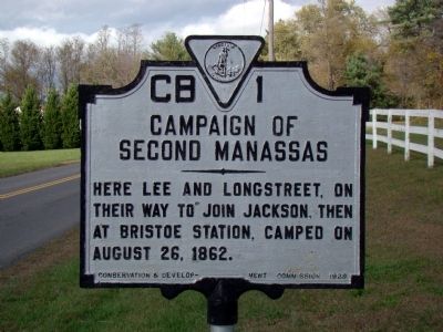
Campaign of Second Manassas
Erected 1929 by Conservation & Development Commission. (Marker Number CB-1.)
Topics and series. This historical marker is listed in this topic list: War, US Civil. In addition, it is included in the Virginia Department of Historic Resources (DHR) series list. A significant historical year for this entry is 1862.
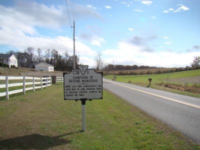
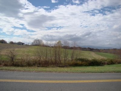
Location. 38° 44.85′ N, 77° 57.696′ W. Marker is in Orlean, Virginia, in Fauquier County. Marker is on Leeds Manor Road (County Route 688) south of John Barton Payne Road (County Route 732), on the left when traveling south. Touch for map. Marker is in this post office area: Orlean VA 20128, United States of America. Touch for directions.
Other nearby markers. At least 8 other markers are within 6 miles of this marker, measured as the crow flies. Waterloo Bridge (approx. 4.7 miles away); a different marker also named Campaign of Second Manassas (approx. 5.1 miles away); Hinson's Ford (approx. 5.2 miles away); Culpeper County / Rappahannock County (approx. 5.2 miles away); a different marker also named Campaign of Second Manassas (approx. 5.2 miles away); a different marker also named Campaign of Second Manassas (approx. 5.4 miles away); Second Manassas Campaign (approx. 5.4 miles away); Eliza Brown and the Custers (approx. 5.6 miles away).
Additional keywords. General Robert E. Lee, General James Longstreet, General Thomas J. “Stonewall” Jackson, Confederate, CSA, Bristow Station
Credits. This page was last revised on June 16, 2016. It was originally submitted on November 1, 2009, by J. J. Prats of Powell, Ohio. This page has been viewed 956 times since then and 20 times this year. Photos: 1, 2, 3. submitted on November 1, 2009, by J. J. Prats of Powell, Ohio.


