Audubon in Audubon County, Iowa — The American Midwest (Upper Plains)
T-Bone Trail
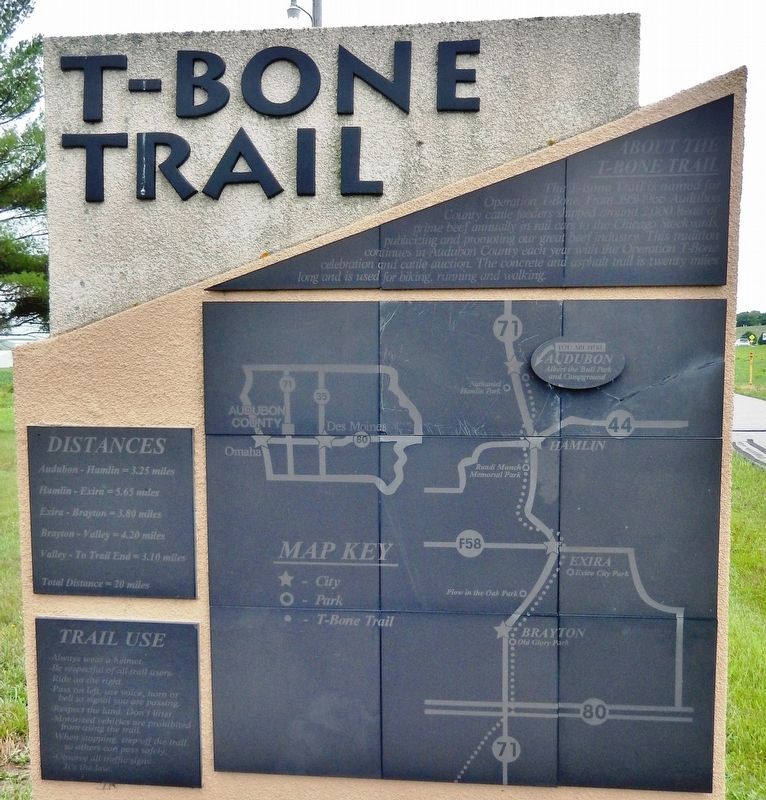
About the T-Bone Trail
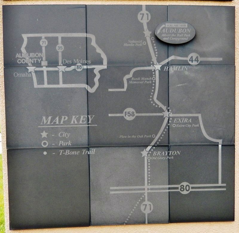
The T-Bone Trail is named for Operation T-Bone. From 1951-1965 Audubon County cattle feeders shipped around 2,000 head of prime beef annually in rail cars to the Chicago Stockyards, publicizing and promoting our great beef industry. This tradition continues in Audubon County each year with the Operation T-Bone celebration and cattle auction. The concrete and asphalt trail is twenty miles long and is used for biking, running and walking.
Topics. This historical marker is listed in these topic lists: Agriculture • Industry & Commerce • Parks & Recreational Areas • Railroads & Streetcars. A significant historical year for this entry is 1951.
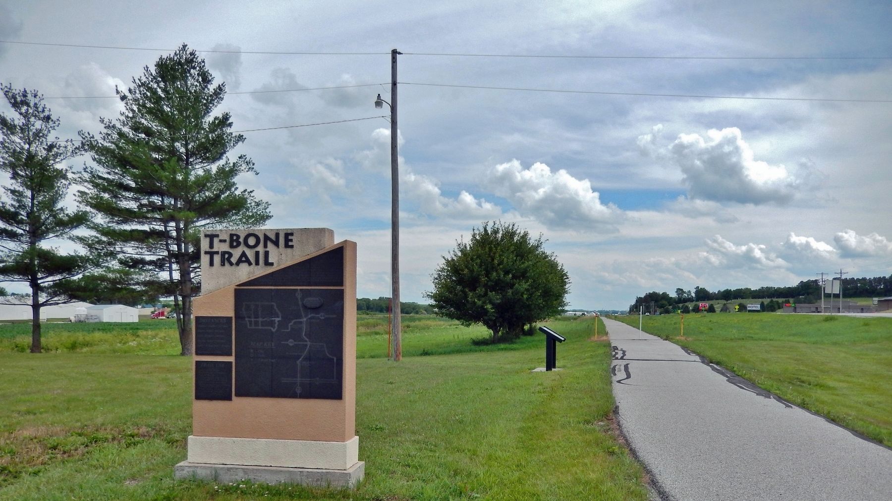
Location. 41° 42.521′ N, 94° 55.613′ W. Marker is in Audubon, Iowa, in Audubon County. Marker is on Market Street (U.S. 71) just south of Southside Street, on the left when traveling south. The marker is located along the T-Bone Recreational Trail. Touch for map. Marker is in this post office area: Audubon IA 50025, United States of America. Touch for directions.
Other nearby markers. At least 8 other markers are within 10 miles of this marker, measured as the crow flies. Audubon (a few steps from this marker); Albert — the World's Largest Bull (approx. 0.2 miles away); Audubon County Courthouse (approx. 0.9 miles away); We Honor Our Veterans (approx. 0.9 miles away); Audubon County Veterans Memorial (approx. 0.9 miles away); Audubon Public Library (approx. 0.9 miles away); Audubon County Tourism (approx. 0.9 miles away); Kimballton Freedom Rock Veterans Memorial (approx. 9.3 miles away). Touch for a list and map of all markers in Audubon.
Related markers. Click here for a list of markers that are related to this marker.
Also see . . . T-Bone Recreational Trail. Excerpt:
The T-Bone Trail is a former railroad right of way; purchased with the help of the Iowa Natural Heritage Foundation. It is named for the T-Bone event that originated in the 1950s in Audubon when the farmers all loaded up their cattle on to a train and rode with them to market in Chicago. The trail has taken over fifteen years to complete. The trail has been designated as an American Discovery Trail.(Submitted on January 16, 2024, by Cosmos Mariner of Cape Canaveral, Florida.)
Credits. This page was last revised on January 17, 2024. It was originally submitted on January 15, 2024, by Cosmos Mariner of Cape Canaveral, Florida. This page has been viewed 56 times since then. Photos: 1, 2, 3. submitted on January 16, 2024, by Cosmos Mariner of Cape Canaveral, Florida.


