Shockoe Slip in Richmond, Virginia — The American South (Mid-Atlantic)
Early Shockoe
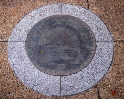
"In those days the river was the road to town. Tobacco was boated down to Westham, seven miles above the falls, and then brought by land carriage to Shokoes." John F.D. Smythe, 1769
Shockoe is Richmond's oldest neighborhood. In the late 17th century, tobacco, furs, rum, and enslaved Africans were traded within blocks of here. In 1742, the town was no more than a fifth of a mile square, with 250 merchants, laborers, fishermen, and boatsmen.
Erected by Richmond Riverfront Canal Walk.
Topics. This historical marker is listed in these topic lists: African Americans • Industry & Commerce • Settlements & Settlers • Waterways & Vessels. A significant historical year for this entry is 1733.
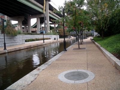
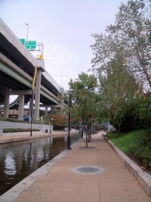
Location. 37° 31.964′ N, 77° 25.95′ W. Marker is in Richmond, Virginia. It is in Shockoe Slip. Marker can be reached from the intersection of Dock Street and South 15th Street. This marker is on the Richmond Riverfront Canal Walk between S 14th Street and S 15th Street. Touch for map. Marker is in this post office area: Richmond VA 23219, United States of America. Touch for directions.
Other nearby markers. At least 8 other markers are within walking distance of this marker. Shockoe Slip (a few steps from this marker); Mayo's Bridge (within shouting distance of this marker); Use of Arms (within shouting distance of this marker); James River & Kanawha Canal (about 300 feet away, measured in a direct line); Burnt District (about 300 feet away); Triple Crossing (about 300 feet away); New Turning Basin (about 300 feet away); Atlantic Sturgeon (about 300 feet away). Touch for a list and map of all markers in Richmond.
Also see . . .
1. Richmond’s Historic Canal Walk. Venture Richmond (Submitted on October 31, 2009.)
2. James River and Kanawha Canal Historic District. National Register of Historic Places (Submitted on October 31, 2009.)
3. Historic Shockoe Slip. (Submitted on October 31, 2009.)
Credits. This page was last revised on February 1, 2023. It was originally submitted on October 31, 2009, by Bernard Fisher of Richmond, Virginia. This page has been viewed 989 times since then and 25 times this year. Last updated on November 1, 2009, by Jeff Conner of Norfolk, Virginia. Photos: 1, 2, 3. submitted on October 31, 2009, by Bernard Fisher of Richmond, Virginia.


