
Kerrville in Kerr County, Texas — The American South (West South Central)
One Mile to Ruins of Camp Verde
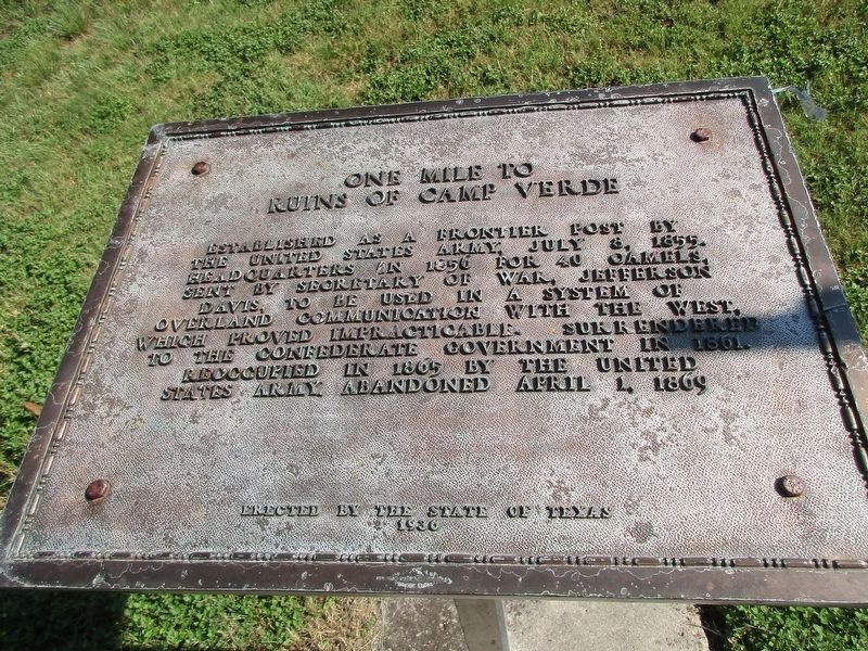
Photographed by Jeff Leichsenring, August 2, 2026
1. One Mile to Ruins of Camp Verde Marker
Erected 1936 by The State of Texas. (Marker Number 20166.)
Topics and series. This historical marker is listed in these topic lists: Forts and Castles • War, US Civil. In addition, it is included in the Texas 1936 Centennial Markers and Monuments series list. A significant historical date for this entry is July 8, 1855.
Location. 29° 53.595′ N, 99° 6.308′ W. Marker is in Kerrville, Texas, in Kerr County. It can be reached from the intersection of Bandera Highway (State Highway 173) and East Verde Creek Road, on the left when traveling south. Marker is in picnic area of Camp Verde Park. Touch for map. Marker is at or near this postal address: 285 E Verde Cr Rd, Center Point TX 78010, United States of America. Touch for directions.

Regionally, this marker is in the
this page online
Other nearby markers. At least 8 other markers are within 5 miles of this marker, measured as the crow flies: Penateka Comanches (a few steps from this marker); Camps Verde C.S.A. (within shouting distance of this marker); Camp Verde General Store and Post Office (about 300 feet away, measured in a direct line); Site of Camp Verde (approx. 0.9 miles away); Bandera Pass (approx. 2.4 miles away); a different marker also named Bandera Pass (approx. 2.4 miles away); Center Point Cemetery (approx. 5 miles away); N.O. Reynolds (approx. 5 miles away).
Related markers. Click here for a list of markers that are related to this marker.
Also see . . .
1. Camp Verde article in Handbook of Texas Online. (Submitted on April 1, 2016, by Gregory Walker of La Grange, Texas.)
2. Second Camp Verde article in Handbook of Texas Online. (Submitted on April 1, 2016, by Gregory Walker of La Grange, Texas.)
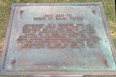
Photographed by Gregory Walker, July 10, 2015
2. Camp Verde Marker
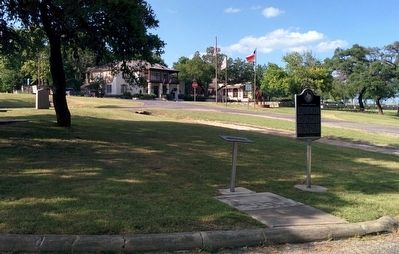
Photographed by Gregory Walker, July 10, 2015
3. Location of Camp Verde Marker
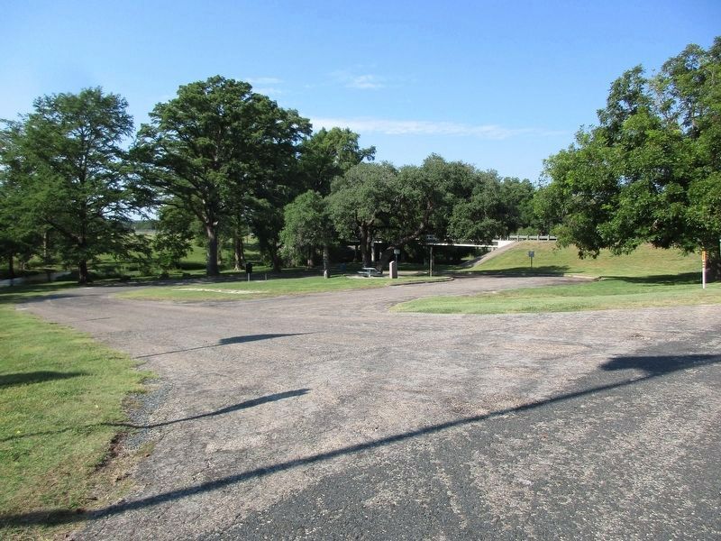
Photographed by Jeff Leichsenring, August 2, 2026
4. One Mile to Ruins of Camp Verde Marker
Credits. This page was last revised on August 5, 2026. It was originally submitted on April 1, 2016, by Gregory Walker of La Grange, Texas. This page has been viewed 1,326 times since then and 70 times this year. Last updated on January 16, 2024, by Jeff Leichsenring of Garland, Texas. Photos: 1. submitted on August 4, 2026, by Jeff Leichsenring of Garland, Texas. 2, 3. submitted on April 1, 2016, by Gregory Walker of La Grange, Texas. 4. submitted on August 4, 2026, by Jeff Leichsenring of Garland, Texas. • James Hulse was the editor who published this page.
