Rockville Centre in Nassau County, New York — The American Northeast (Mid-Atlantic)
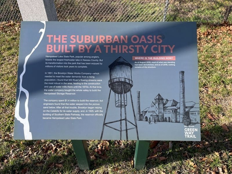
The Suburban Oasis Built by a Thirsty City
Mill River Greenway Trail
Photographed by Devry Becker Jones (CC0), January 13, 2024
1. The Suburban Oasis Built by a Thirsty City Marker
Hempstead Lake State Park, popular among anglers, boasts the largest freshwater lake in Nassau County. But its transformation into the park that has been enjoyed by millions of visitors took years to complete.
In 1851, the Brooklyn Water Works Company—which needed to meet the water demands from rising population—found that Mill River's flowing streams were the most robust in the area, leading to the construction and use of water mills there until the 1870s. At that time, the water company bought the whole valley to build the Hempstead Storage Reservoir.
The company spent $1.4 million to build the reservoir, but engineers found that the water seeped into the porous sand below. After all that trouble, Brooklyn began relying on the Catskills for its water supply, and, in 1925, with the building of Southern State Parkway, the reservoir officially became Hempstead Lake State Park.
Where Is the Building Now?
As of August 2010, most of what was standing had been demolished, and as of 2019, nothing remains of the structure.
Topics. This historical marker is listed in these topic lists: Industry & Commerce •
this page online
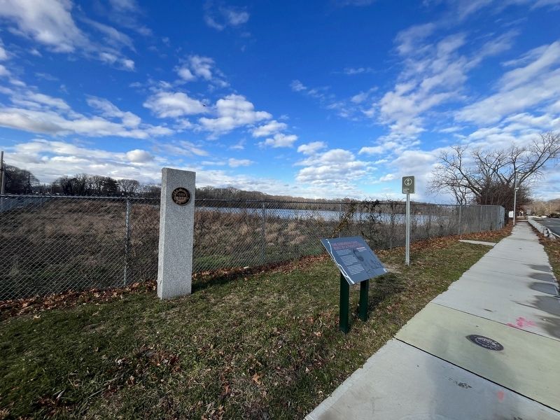
Location. 40° 40.015′ N, 73° 39.061′ W. Marker is in Rockville Centre, New York, in Nassau County. It is at the intersection of Lakeview Avenue and Peninsula Boulevard, on the right when traveling west on Lakeview Avenue. Touch for map. Marker is at or near this postal address: 1709 Lakeview Avenue, Rockville Centre NY 11570, United States of America. Touch for directions.

Regionally, this marker is in the New York City Metropolitan Area and on Long Island. It is also in the American Northeast, in the Mid-Atlantic, and on the Eastern Seaboard. Globally, it is in the North Atlantic Region, North America, the Western Hemisphere, the Western World, and the Anglosphere. Historically, it finds itself in what was once New Netherland and also one of the original Thirteen Colonies.
Other nearby markers. At least 8 other markers are within walking distance of this marker: The Rev. Dr. Morgan Days Park (approx. ¼ mile away); A Fish of Mill River Legend (approx. 0.3 miles away); The Changing Water Levels of Hempstead Lake (approx. 0.3
Photographed by Devry Becker Jones (CC0), January 13, 2024
2. The Suburban Oasis Built by a Thirsty City Marker
Credits. This page was last revised on January 16, 2024. It was originally submitted on January 16, 2024, by Devry Becker Jones of Washington, District of Columbia. This page has been viewed 321 times since then and 36 times this year. Photos: 1, 2. submitted on January 16, 2024, by Devry Becker Jones of Washington, District of Columbia.
