Central Business District in New Orleans in Orleans Parish, Louisiana — The American South (West South Central)
Canal Street Under French and Spanish Rule (1718-1803)
Inscription.
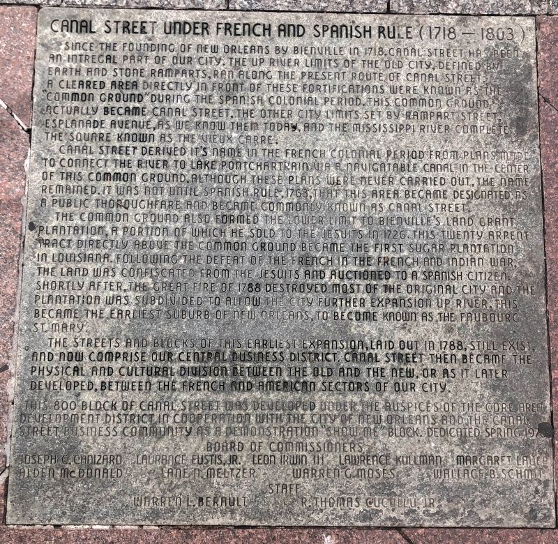
Since the founding of New Orleans by Bienville in 1718, Canal Street has been an integral part of our city. The up river limits of the old city, defined by earth and store ramparts, ran along the present route of Canal Street. A cleared area directly in front of these fortifications were known as the common ground during the Spanish colonial period. This common ground actually became Canal Street. The other city limits set by Rampart Street, Esplanade Avenue, as we know them today, and the Mississippi River complete the square known as the Vieux Carre.
Canal Street derived it's name in the French colonial period from plans made to connect the river to Lake Pontchartrain via a navigatable canal in the center of this common ground. Although these plans were never carried out, the name remained. It was not until Spanish rule, 1763, that this area became designated as a public thoroughfare and became commonly known as Canal Street.
The common ground also formed the lower limit to Bienville's land grant plantation, a portion of which he sold to the Jesuits in 1726. This twenty arrent tract directly above the common ground became the first sugar plantation in Louisiana. Following the defeat of the French in the French and Indian War, the land was confiscated from the Jesuits and auctioned to a Spanish citizen. Shortly after, the great fire of 1788 destroyed most of the original city and the plantation was subdivided to allow the city further expansion up river. This became the earliest suburb of New Orleans, to become known as the Faubourg St. Mary.
The streets and blocks of this earliest expansion, laid out in 1788, still exist, and now comprise our Central Business District. Canal street then became the physical and cultural division between the old and the new, or as it later developed, between the French and American sectors of our city.
This 800 block of canal street was developed under the auspices of the Core Area Development District in cooperation with the City of New Orleans and the Canal Street business community as a demonstration "Show Me" block.
Erected 1978 by Core Area Development District.
Topics. This historical marker is listed in these topic lists: Churches & Religion • Roads & Vehicles • Settlements & Settlers • War, French and Indian. A significant historical year for this entry is 1718.
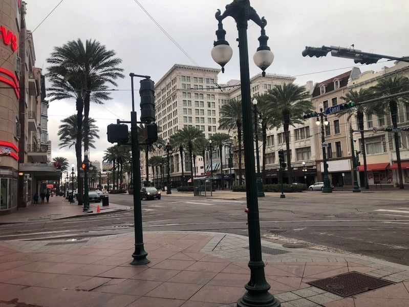
Location. 29° 57.226′ N, 90° 4.217′ W. Marker is in New Orleans, Louisiana, in Orleans Parish. It is in the Central Business District. Marker can be reached from the intersection of Canal Street and Carondolet Street, on the right when traveling east. The marker is
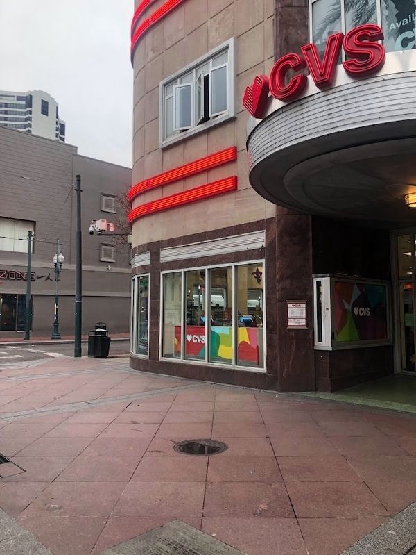
embedded within the sidewalk on the south side of Canal Street, in front of the CVS at the corner of Canal and Carondolet. Touch for map. Marker is at or near this postal address: 800 Canal Street, New Orleans LA 70112, United States of America. Touch for directions.
Other nearby markers. At least 8 other markers are within walking distance of this marker. 127-129 Carondelet Street (within shouting distance of this marker); Immaculate Conception Church (about 400 feet away, measured in a direct line); New Orleans Slave Depot (about 500 feet away); America's First Movie Theater / Vitascope Hall (about 600 feet away); Merchants Mutual Insurance Company Building (about 600 feet away); Jefferson Highway (about 600 feet away); The Birthplace of “Dixie” (about 700 feet away); Sears Building (about 800 feet away). Touch for a list and map of all markers in New Orleans.
Also see . . . What is the history of the markers in the 800 block of Canal Street?. (Submitted on January 17, 2024, by Sean Flynn of Oak Park, Illinois.)
Credits. This page was last revised on January 18, 2024. It was originally submitted on January 17, 2024, by Sean Flynn of Oak Park, Illinois. This page has been viewed 64 times since then. Photos: 1, 2, 3. submitted on January 17, 2024, by Sean Flynn of Oak Park, Illinois.


