Red Wing in Goodhue County, Minnesota — The American Midwest (Upper Plains)
Restoring the Land
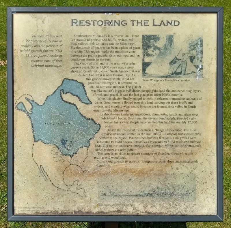
Minnesota has lost 99 percent of its native prairies and 92 percent of its old-growth forests. This 13-acre parcel seeks to recover part of that original landscape.
Susan Windgrow - Prairie Island resident.
Southeastern Minnesota is a diverse land. Here is a mosaic of prairies and bluffs, ravines and river valleys, rich wetlands and the Mississippi. For thousands of years it has been a place of great diversity. This region marks the transition zone between the prairie grasslands to our west and the coniferous forests to the east.
The shape of this land is the result of a rather curious event. Some 75,000 years ago, a great sheet of ice started to cover North America. It was centered on what is now Hudson Bay. As this glacier moved south, it did not pass over this region. It covered the land to our west and east. The glacier was like nature's biggest bull-dozer, scraping the land flat and depositing layers of rock and gravel. It was the last glacier to cover North America.
When this glacier finally started to melt, it released tremendous amounts of water. Great torrents flowed over this land, carving out these bluffs and ravines, and creating what would become the longest river valley in North America—the Mississippi.
In this diverse landscape mastodons, mammoths, turtles and giant river fish found a home. Over time, the diverse food supply attracted early Native Americans. People have walked this land for roughly 12,000 years.
During the course of 12 centuries, change is inevitable. The most significant impact started in the mid 1800s. Riverboats transported early settlers to the region. Prairies then became farmland. Oak groves were harvested to build houses. Gravel was excavated to build roads and railroad beds. The native landscape changed. For example, 99 percent of Minnesota's native prairies are now gone.
This area is an effort to restore a sample of Goodhue County's native prairies and woodlands.
Trails wind through its acreage. Interpretive signs along the trails provide information.
Topics. This historical marker is listed in these topic lists: Environment • Native Americans • Settlements & Settlers.
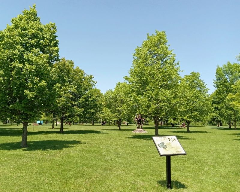
Location. 44° 34.266′ N, 92° 38.381′ W. Marker is in Red Wing, Minnesota, in Goodhue County. Marker can be reached from Cannon Bottom Road. The marker is in the Anderson Center Sculpture Garden, north of the parking lot. Touch for map. Marker is at or near this postal address: 161 Tower View Drive, Red Wing MN 55066, United States of America. Touch for directions.
Other nearby markers. At least 8 other markers are within 5 miles of this marker, measured as the crow flies. Early Inhabitants (about 300 feet away, measured in a direct line); Our Native Forests
(about 400 feet away); Oak Trees in the Tallgrass Prairie (about 400 feet away); Anderson Center and Outdoor Sculpture Garden (approx. 0.2 miles away); Military Roads (approx. ¼ mile away); Red Wing Archaeological Preserve (approx. 0.6 miles away); The Belle Creek Watershed (approx. 3.8 miles away); Cannon Valley Trail Archaeology (approx. 4.9 miles away). Touch for a list and map of all markers in Red Wing.
Credits. This page was last revised on January 18, 2024. It was originally submitted on January 15, 2024, by McGhiever of Minneapolis, Minnesota. This page has been viewed 42 times since then. Last updated on January 17, 2024, by McGhiever of Minneapolis, Minnesota. Photos: 1, 2. submitted on January 15, 2024, by McGhiever of Minneapolis, Minnesota. • J. Makali Bruton was the editor who published this page.

