DeWitt Township in Clinton County, Michigan — The American Midwest (Great Lakes)
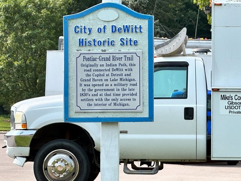
Pontiac-Grand River Trail
Erected by City of DeWitt.
Topics. This historical marker is listed in these topic lists: Native Americans • Roads & Vehicles. A significant historical year for this entry is 1835.
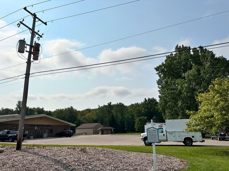
Location. 42° 50.531′ N, 84° 34.853′ W. Marker is in DeWitt, Michigan, in Clinton County. It is in DeWitt Township. Marker is on 911 West Main Street near Westbrook Drive, on the right when traveling east. Touch for map. Marker is at or near this postal address: West Main Street, Dewitt MI 48820, United States of America. Touch for directions.
Other nearby markers. At least 8 other markers are within walking distance of this marker. Scott House (approx. 0.3 miles away); Van Fleet House (approx. 0.3 miles away); Moon House (approx. 0.4 miles away); Woodruff House (approx. 0.4 miles away); Lankford-Hill House (approx. 0.4 miles away); Schavey House (approx. 0.4 miles away); Whitney House (approx. 0.4 miles away); a different marker also named Woodruff House (approx. 0.4 miles away). Touch for a list and map of all markers in DeWitt.
Credits. This page was last revised on January 22, 2024. It was originally submitted on January 20, 2024, by J.T. Lambrou of New Boston, Michigan. This page has been viewed 54 times since then. Photos: 1, 2, 3. submitted on January 20, 2024, by J.T. Lambrou of New Boston, Michigan. • J. Makali Bruton was the editor who published this page.


