Old Town in Alexandria, Virginia — The American South (Mid-Atlantic)
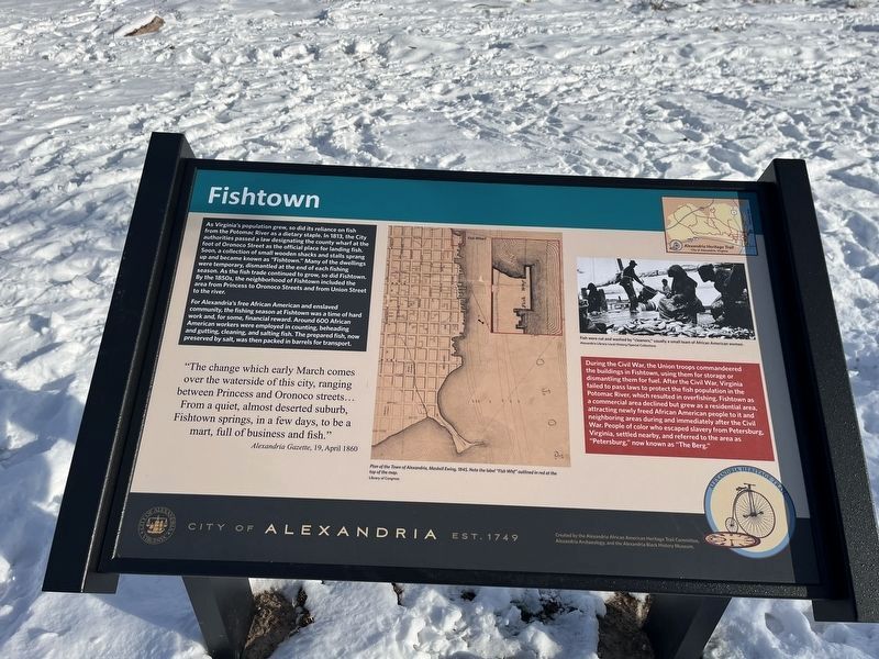
Fishtown
City of Alexandria, Est. 1749
— Alexandria Heritage Trail —
As Virginia's population grew, so did its reliance on fish from the Potomac River as a dietary staple. In 1813, the city authorities passed a law designating the county wharf at the foot of Oronoco Street as the official place for landing fish. Soon, a collection of small wooden shacks and stalls sprang up and became known as "Fishtown." Many of the dwellings were temporary, dismantled at the end of each fishing season. As the fish trade continued to grow, so did Fishtown. By the 1850s, the neighborhood of Fishtown included the area from Princess to Oronoco Streets and from Union Street to the river.
For Alexandria's free African American and enslaved community, the fishing season at Fishtown was a time of hard work and, for some, financial reward. Around 600 African American workers were employed in counting, beheading and gutting, cleaning, and salting fish. The prepared fish, now preserved by salt, was then packed in barrels for transport.
"The change which early March comes over the waterside of this city, ranging between Princess and Oronoco streets… From a quiet, almost deserted suburb, Fishtown springs, in a few days, to be a mart, full of business and fish."
Alexandria Gazette, 19, April 1860
During the Civil War, the Union troops commandeered the buildings in Fishtown, using them for storage or dismantling them for fuel. After the Civil War, Virginia failed to pass laws to protect the fish population in the Potomac River, which resulted in overfishing. Fishtown as a commercial area declined but grew as a residential area, attracting newly freed African American people to it and neighboring areas during and immediately after the Civil War. People of color who escaped slavery from Petersburg, Virginia, settled nearby, and referred to the area as "Petersburg," now known as "The Berg."
[Captions:]
Plan of the Town of Alexandria, Maskell Ewing, 1845. Note the label "Fish Whf" outlined in red at the top of the map.
Fish were cut and washed by "cleaners," usually a small team of African American women.
Erected by City of Alexandria, Virginia. (Marker Number 2.)
Topics and series. This historical marker is listed in these topic lists: African Americans • Animals • Industry & Commerce • Settlements & Settlers • War, US Civil • Waterways & Vessels. In addition, it is included in the Virginia, The City of Alexandria series list. A significant historical date for this entry is April 19, 1860.
Location. 38° 48.447′ N, 77° 2.33′ W. Marker is in

Photographed By Devry Becker Jones (CC0), January 20, 2024
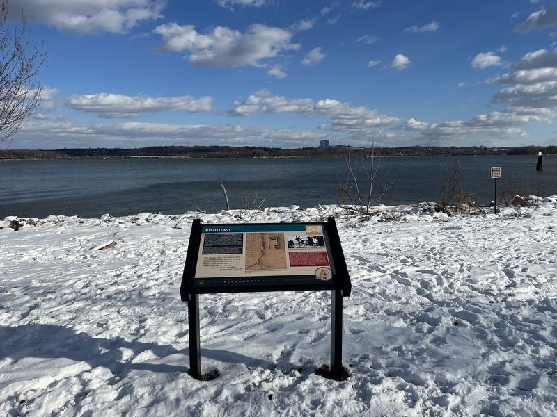
2. Fishtown marker with the Potomac River visible in the background
Other nearby markers. At least 8 other markers are within walking distance of this marker. Retrocession (about 400 feet away, measured in a direct line); Submarine Screw (Propeller) (about 600 feet away); African American Waterfront Heritage Trail (about 700 feet away); Engin Artemel (about 800 feet away); The Civil War Comes to Alexandria (approx. 0.2 miles away); Old Town Alexandria (approx. 0.2 miles away); Torpedo Factory Art Center (approx. 0.2 miles away); United States Naval Torpedo Station (Building Two) (approx. 0.2 miles away). Touch for a list and map of all markers in Alexandria.
Credits. This page was last revised on January 20, 2024. It was originally submitted on January 20, 2024, by Devry Becker Jones of Washington, District of Columbia. This page has been viewed 71 times since then. Photos: 1, 2. submitted on January 20, 2024, by Devry Becker Jones of Washington, District of Columbia.
