Old Town in Alexandria, Virginia — The American South (Mid-Atlantic)
George Henry, Enslaved Ship Captain
City of Alexandria, Virginia
— Alexandria Heritage Trail —

Photographed By Devry Becker Jones (CC0), January 20, 2024
1. George Henry, Enslaved Ship Captain Marker
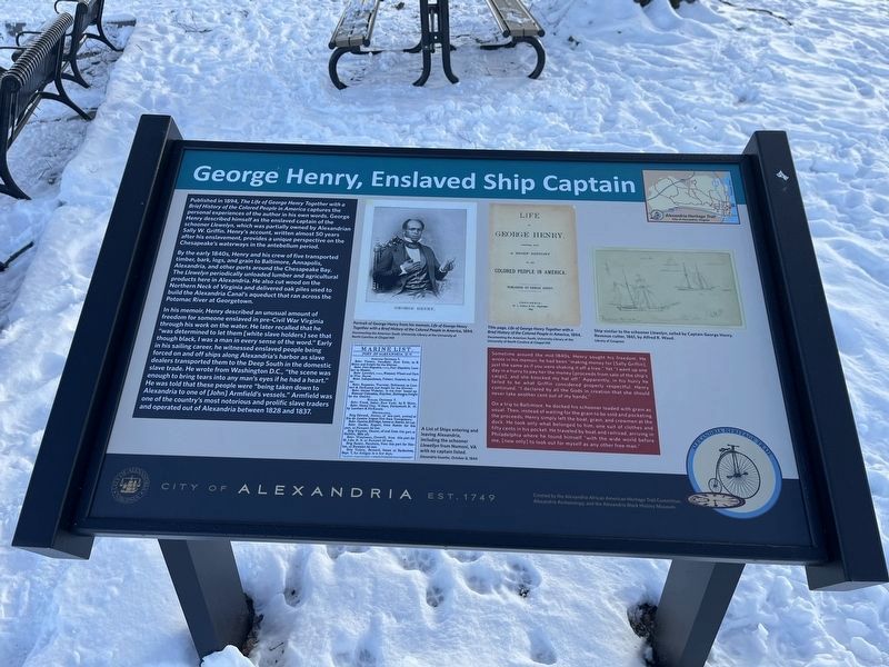
Published in 1894, The Life and George Henry Together with a Brief History of the Colored People in America captures the personal experiences of the author in his own words. George Henry described himself as the enslaved captain of the schooner Llewelyn, which was partially owned by Alexandrian Sally W. Griffin. Henry's account, written almost 50 years after his enslavement, provides a unique perspective on the Chesapeake's waterways in the antebellum period.
By the early 1840s, Henry and his crew of five transported timber, bark, logs, and grain to Baltimore, Annapolis, Alexandria, and other ports around the Chesapeake Bay. The Llewelyn periodically unloaded lumber and agricultural products here in Alexandria. He also cut wood on the Northern Neck of Virginia and delivered oak piles used to build the Alexandria Canal's aqueduct that ran across the Potomac River at Georgetown.
In his memoir, Henry described an unusual amount of freedom for someone enslaved in pre-Civil War Virginia through his work on the water. He later recalled that he "was determined to let them [white slave holders] see that though black, I was a man in every sense of the word." Early in his sailing career, he witnessed enslaved people being forced on and off ships along Alexandria's harbor as slave dealers transported them to the Deep South in the domestic slave trade. He wrote from Washington, D.C., "the scene was enough to bring tears into any man's eyes if he had a heart." He was told that these people were "being taken down to Alexandria to one of [John] Armfield's vessels." Armfield was one of the country's most notorious and prolific slave traders and operated out of Alexandria between 1828 and 1837.
Sometime around the mid-1840s, Henry sought his freedom. He wrote in his memoir, he had been "making money for [Sally Griffin], just the same as if you were shaking it off a tree." yet "I went up one day in a hurry to pay her the money [proceeds from sale of the ship's cargo], and she knocked my hat off." Apparently, in his hurry he failed to be what Griffin considered properly respectful. Henry continued, "I declared by all the Gods in creation that she should never take another cent out of my hands."
On a trip to Baltimore, he docked his schooner loaded with grain as usual. Then, instead of waiting for the grain to be sold and pocketing the proceeds, Henry simply left the boat, grain, and crewmen at the dock. He took only what belonged to him, one suit of clothes and fifty cents in his pocket. He traveled by boat and railroad, arriving in Philadelphia where he found himself "with the wide world before me, [now only] to look out for myself as any other free man."
Erected by

Photographed By Devry Becker Jones (CC0), January 20, 2024
2. George Henry, Enslaved Ship Captain Marker
Topics. This historical marker is listed in these topic lists: Abolition & Underground RR • African Americans • Industry & Commerce • Waterways & Vessels. A significant historical year for this entry is 1894.
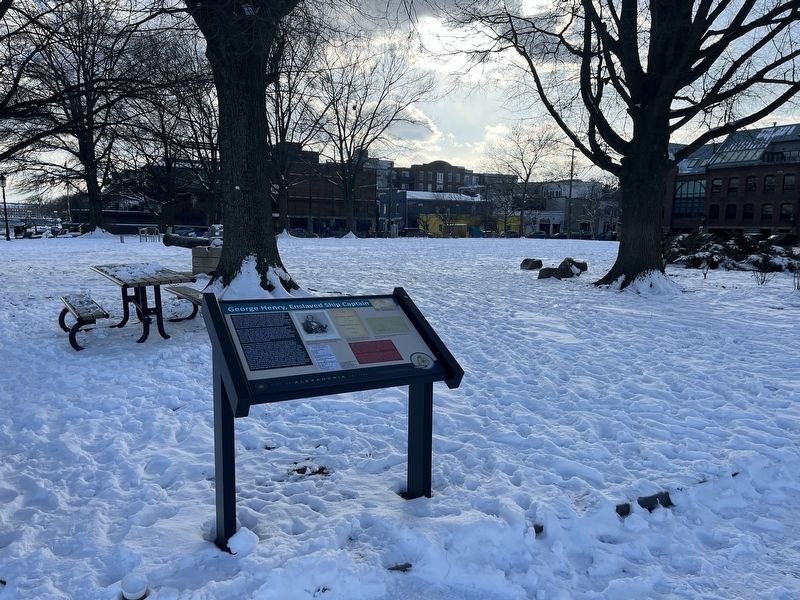
Location. 38° 48.218′ N, 77° 2.342′ W. Marker is in Alexandria, Virginia. It is in Old Town. Marker is on The Strand north of Prince Street, on the right when traveling north. Touch for map. Marker is at or near this postal address: 1a Prince Street, Alexandria VA 22314, United States of America. Touch for directions.
Other nearby markers. At least 8 other markers are within walking distance of this marker. The Domestic Slave Trade (within shouting distance of this marker); Pioneer Mill (within shouting distance of this marker); Raise the White Flag (within shouting distance of this marker); Foot of King Street (within shouting distance of this marker); The River Queen (within shouting distance of this marker); Waterfront Walk (within shouting distance of this marker); River Ferries (about 300 feet away, measured in a direct line); ODBC (about 300 feet away). Touch for a list and map of all markers in Alexandria.
Credits. This page was last revised on January 21, 2024. It was originally submitted on January 21, 2024, by Devry Becker Jones of Washington, District of Columbia. This page has been viewed 66 times since then. Photos: 1, 2. submitted on January 21, 2024, by Devry Becker Jones of Washington, District of Columbia.