Palm Coast in Flagler County, Florida — The American South (South Atlantic)
Intracoastal Waterway
Welcome to the
Intracoastal Waterway
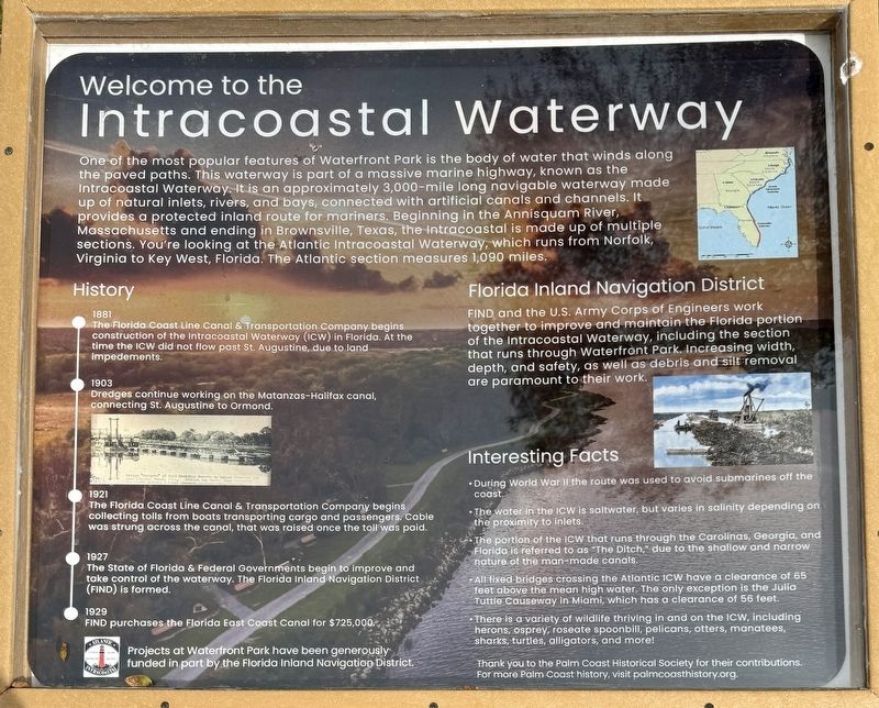
One of the most popular features of Waterfront Park is the body of water that winds along the paved paths. This waterway is part of a massive marine highway, known as the Intracoastal Waterway. It is an approximately 3,000-mile long navigable waterway made up of natural inlets, rivers, and bays, connected with artificial canals and channels. It provides a protected inland route for mariners. Beginning in the Annisquam River, Massachusetts and ending in Brownsville, Texas, the Intracoastal is made up of multiple sections. You're looking at the Atlantic Intracoastal Waterway, which runs from Norfolk, Virginia to Key West, Florida. The Atlantic section measures 1,090 miles.
History
1881
The Florida Coast Line Canal & Transportation Company begins construction of the Intracoastal Waterway (ICW) in Florida. At the time the ICW did not flow past St. Augustine, due to land impediments.
1903
Dredges continue working on the Matanzas-Halifax canal, connecting St. Augustine to Ormond.
1921
The Florida Coast Line Canal & Transportation Company begins collecting tolls from boats transporting cargo and passengers. Cable was strung across the canal, that was raised once the toll was paid.
1927
The State of Florida & Federal Governments begin to improve and take control of the waterway. The Florida Inland Navigation District (FIND) is formed.
1929
FIND purchases the Florida East Coast Canal for $725,000.
Florida Inland Navigation District
FIND and the U.S. Army Corps of Engineers work together to improve and maintain the Florida portion of the Intracoastal Waterway, including the section that runs through Waterfront Park. Increasing width, depth, and safety, as well as debris and silt removal are paramount to their work.
Interesting Facts
• During World War Il the route was used to avoid submarines off the coast.
• The water in the ICW is saltwater, but varies in salinity depending on the proximity to inlets.
• The portion of the ICW that runs through the Carolinas, Georgia, and Florida is referred to as "The Ditch," due to the shallow and narrow nature of the man-made canals.
• All fixed bridges crossing the Atlantic ICW have a clearance of 65 feet above the mean high water. The only exception is the Julia Tuttle Causeway in Miami, which has a clearance of 56 feet.
• There is a variety of wildlife thriving in and on the ICW, including herons, osprey, roseate spoonbill, pelicans, otters, manatees, sharks, turtles, alligators, and more!
Thank you to the Palm Coast Historical Society for their contributions.
Projects at Waterfront Park have been generously funded in part by the Florida Inland Navigation District.
Erected by City of Palm Coast.
Topics. This historical marker is listed in these topic lists: Industry & Commerce • Parks & Recreational Areas • Waterways & Vessels. A significant historical year for this entry is 1881.
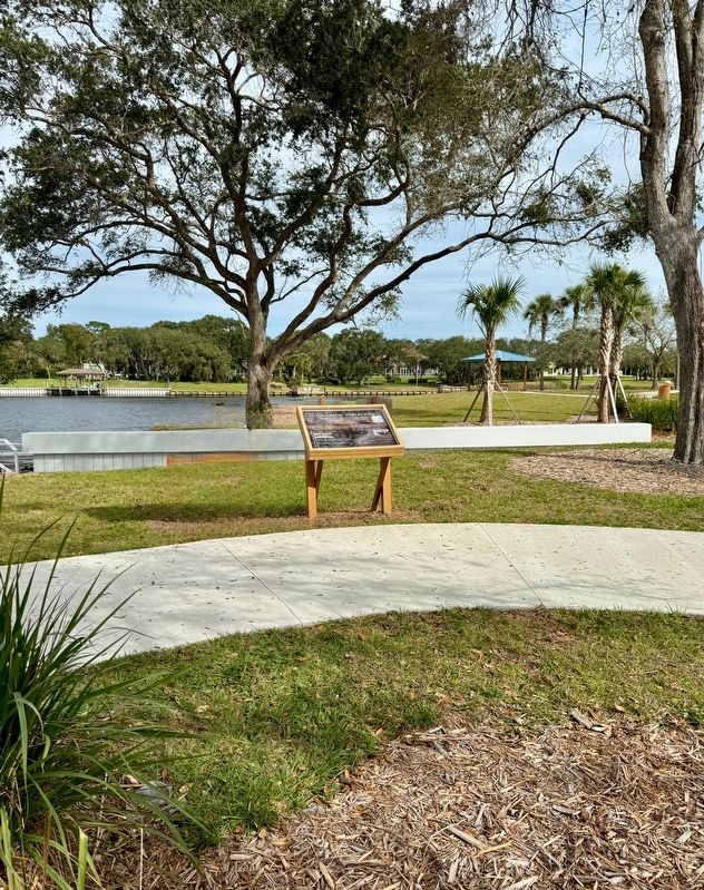
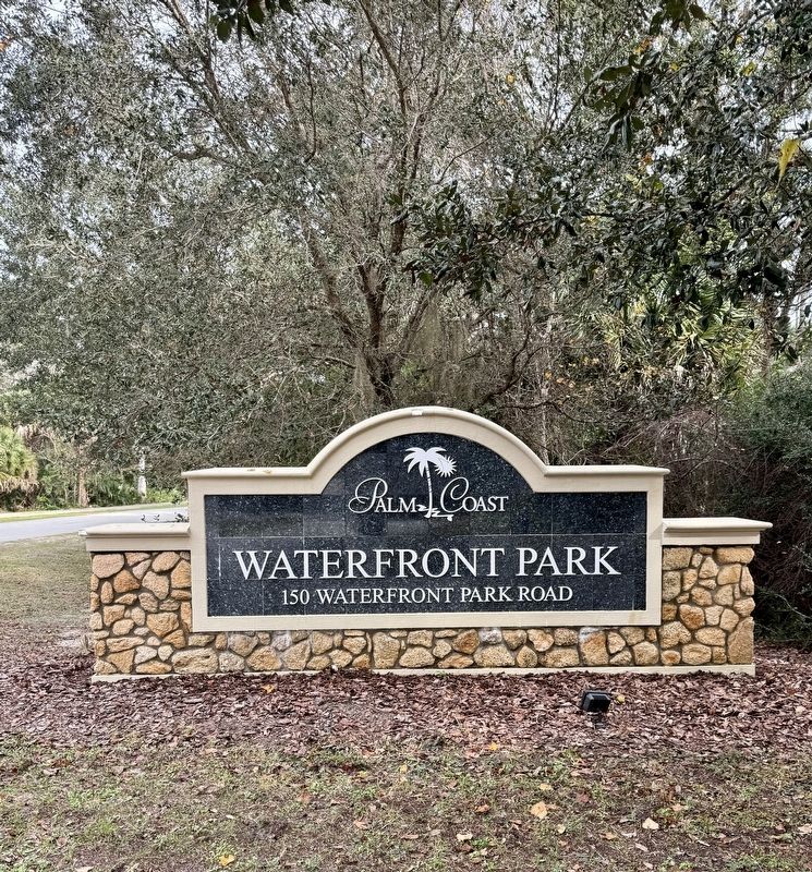
Location. 29° 33.571′ N, 81° 10.634′ W. Marker is in Palm Coast, Florida, in Flagler County. Marker can be reached from Waterfront Park Road, 0.8 miles north of Colbert Lane, on the left when traveling north. The marker is located within Waterfront Park. Touch for map. Marker is at or near this postal address: 150 Waterfront Park Road, Palm Coast FL 32137, United States of America. Touch for directions.
Other nearby markers. At least 8 other markers are within 3 miles of this marker, measured as the crow flies. Flight Of Life Sculpture #7 (about 400 feet away, measured in a direct line); Turtle #10 - "Nancy Marie" (approx. 1.4 miles away); Levitt & I.T.T. "Del Mar" Model and Palm Coast Golf Club (approx. 1˝ miles away); Palm Coast, Florida (approx. 1˝ miles away); Historic Fire Station 22 (approx. 1˝ miles away); Levitt & I.T.T. 'De Bary' Model (approx. 1.6 miles away); Veterans Memorial (approx. 2.8 miles away); The First Responders (approx. 2.9 miles away). Touch for a list and map of all markers in Palm Coast.
Also see . . .
1. Atlantic Intracoastal Waterway. (Submitted on January 23, 2024, by Brandon D Cross of Flagler Beach, Florida.)
2. Palm Coast Historical Society & Museum. (Submitted on February 1, 2024.)
Credits. This page was last revised on February 1, 2024. It was originally submitted on January 23, 2024, by Brandon D Cross of Flagler Beach, Florida. This page has been viewed 65 times since then. Photos: 1, 2, 3. submitted on January 23, 2024, by Brandon D Cross of Flagler Beach, Florida. • Bernard Fisher was the editor who published this page.


