Payne - Phalen in Saint Paul in Ramsey County, Minnesota — The American Midwest (Upper Plains)
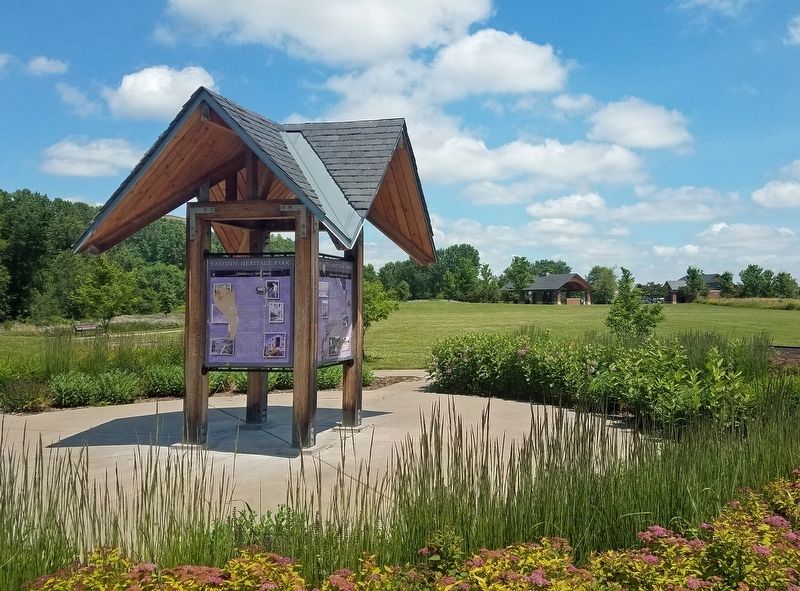
Eastside Heritage Park
Photographed by McGhiever, June 28, 2019
1. First panel: Eastside Icons - 3M & Seeger
[First panel:]
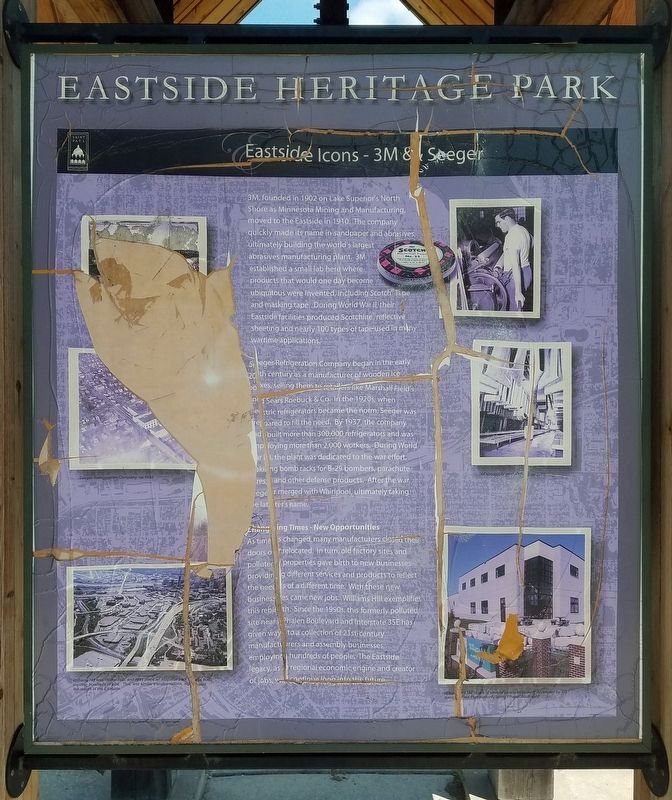
3M, founded in 1902 on Lake Superior's North Shore as Minnesota Mining and Manufacturing, moved to the Eastside in 1910. The company quickly made its name in sandpaper and abrasives, ultimately building the world's largest abrasives manufacturing plant. 3M established a small lab here where products that would one day become ubiquitous were invented, including Scotch® Tape and masking tape. During World War II, their Eastside facilities produced Scotchlite® reflective sheeting and nearly 100 types of tape used in many wartime applications.
Seeger Refrigeration Company began in the early 20th century as a manufacturer of wooden ice boxes, selling them to retailers like Marshall Field's and Sears Roebuck & Co. In the 1920s, when electric refrigerators became the norm, Seeger was prepared to fill the need. By 1937, the company had built more than 300,000 refrigerators and was employing more than 2,000 workers. During World War II, the plant was dedicated to the war effort, making bomb racks for B-29 bombers, parachute [?]res, and other defense products. After the war, Seeger
this page online
Changing Times - New Opportunities
As times changed, many manufacturers closed their doors or relocated. In turn, old factory sites and polluted properties gave birth to new businesses providing different services and products to reflect the needs of a different time. With these new businesses came new jobs. Williams Hill exemplifies this rebirth. Since the 1990s, this formerly polluted site near Phalen Boulevard and Interstate 35E has given way to a collection of 21st-century manufacturers and assembly businesses, employing hundreds of people. The Eastside legacy, as a regional economic engine and creator of jobs, will continue long into the future.
Seeger Refrigeration Company, ca. 1930
Williams Hill was cleaned up, and in its place an industrial park was built, creating hundreds of jobs. This, and similar transformations, signaled the rebirth of the Eastside.
3M employee at tape machine, ca. 1960
3M sandpaper products ca. 1970
Williams Hill is one of several business centers developed by the Saint Paul Port Authority along Phalen Boulevard
[Second panel:]
You
Photographed by McGhiever, June 28, 2019
2. Second panel: Rediscovering a Historic Creek Valley
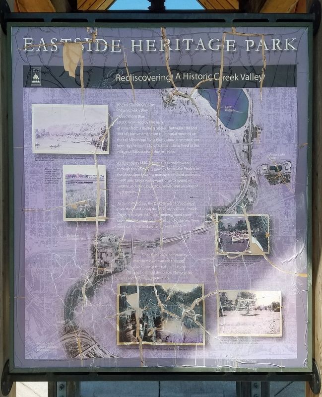
As recently as 1850, Phalen Creek still flowed through this site on its journey from Lake Phalen to the Mississippi River. A marshy, tree-lined waterway, the Phalen Creek valley was home to abundant wildlife, including bear, fox, beaver, and an array of bird species.
As Saint Paul grew, the Dakota were forced away from their land along the Mississippi River. Phalen Creek was diverted into an underground storm sewer to make way for railroads and industry. Trees were cut down and wetlands were filled.
Since the 1970s, community members have worked to bring back some of the natural features that once defined this place. Now native plants and wildflowers are returning.
Dakota people lived near here in summer villages along the Mississippi River.
A former parking lot near Lake Phalen has been returned to its natural state, and is known again as Ames Lake.
The American Indian Magnet School and American Indian Family Center are among the Eastside organizations celebrating and serving today's Native community.
Phalen Creek has been uncovered as it flows through Swede Hollow Park.
The Bruce Vento Nature Sanctuary includes restored prairie, woodlands, and wetlands.
[Third
Photographed by McGhiever, June 28, 2019
3. Third panel: Eastside Industry – the Economic Engine
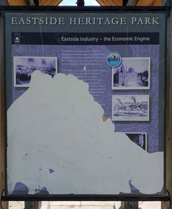
The Eastside has long been an industrial hub. Generations of workers raised their families within walking distance of the manufacturing plants, and the Saint Paul economy was long bolstered by the economic engine of Eastside manufacturing.
From where you are standing you would have seen U.S. manufacturing icons 3M and Whirpool [(formerly Seeger] Refrigeration Company). [...] south, the Theodore Hamm [Brewery...] major employer, [... P]rohibition and soda [...] imposed liquor ban [...] came a nationally [... Mi]nnesota's [... "From the Land of Sky Blue] Waters." [...] facility [...] stood [...]
Hamm's Brewery work[ers ...]
Hamm's Brewery, ca. 1900
Saint Paul Harvester Works, ca. 1874
[Fourth panel too fragmented to transcribe]
Topics. This historical marker is listed in these topic lists: Environment • Indigenous Peoples and Communities • Industry & Commerce • War, World II. A significant historical year for this entry is 1910.
Location. 44° 57.979′ N, 93° 4.288′ W. Marker is in Saint Paul, Minnesota, in Ramsey County. It is in Payne - Phalen. It can be
Photographed by McGhiever, June 28, 2019
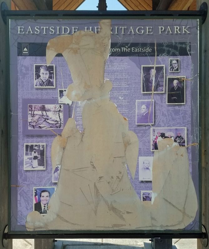
4. Fourth panel: [??] From The Eastside

Regionally, this marker is in the Twin Cities Metropolitan Area. It is also in the American Midwest, in the Corn Belt, and in the Great River Road Region. Globally, it is in North America, the Western Hemisphere, the Western World, and the Anglosphere. Historically, it finds itself in what was once Rupert’s Land, the territory of the Mississippian Culture, and the Louisiana Purchase.
Other nearby markers. At least 8 other markers are within walking distance of this marker: Eastside Heritage / This Place in History (about 400 feet away, measured in a direct line); Growing a Stock (approx. 0.4 miles away); Explosion: 3M Response to Disaster (approx. 0.4 miles away); The 3M Flagpole (approx. 0.4 miles away); "Scotch" Tape to the Rescue of General Gray (approx. 0.4 miles away); Innovations from the Saint Paul Campus
Photographed by McGhiever, June 28, 2019
5. Marker kiosk at the west end of Eastside Heritage Park
Credits. This page was last revised on January 31, 2024. It was originally submitted on January 24, 2024, by McGhiever of Minneapolis, Minnesota. This page has been viewed 160 times since then and 23 times this year. Photos: 1, 2, 3, 4, 5. submitted on January 24, 2024, by McGhiever of Minneapolis, Minnesota. • J. Makali Bruton was the editor who published this page.
