Burns Township in Bancroft in Shiawassee County, Michigan — The American Midwest (Great Lakes)
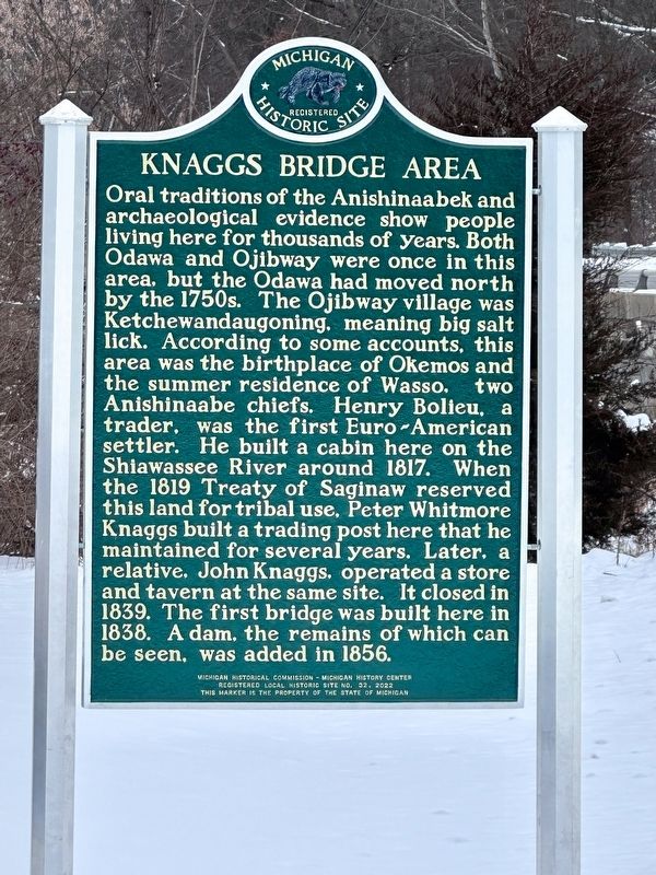
Knaggs Bridge Area
Oral traditions of the Anishinaabek and archaeological evidence show people living here for thousands of years. Both Odawa and Ojibway were once in this area, but the Odawa had moved north by the 1750s. The Ojibway village was Ketchewandaugoning, meaning big salt lick. According to some accounts, this area was the birthplace of Okemos and the summer residence of Wasso, two Anishinaabe chiefs. Henry Bolieu, a trader, was the first Euro-American settler. He built a cabin here on the Shiawassee River around 1817. When the 1819 Treaty of Saginaw reserved this land for tribal use, Peter Whitmore Knaggs built a trading post here that he maintained for several years. Later, a relative, John Knaggs, operated a store and tavern at the same site. It closed in 1839. The first bridge was built here in 1838. A dam, the remains of which can be seen, was added in 1856.
Erected 2022 by Michigan Historical Commission and Michigan History Center. (Marker Number L32.)
Topics and series. This historical marker is listed in these topic lists: Bridges & Viaducts • Colonial Era • Native Americans • Settlements & Settlers. In addition, it is included in the Michigan Historical Commission series list. A significant historical year for this entry is 1817.
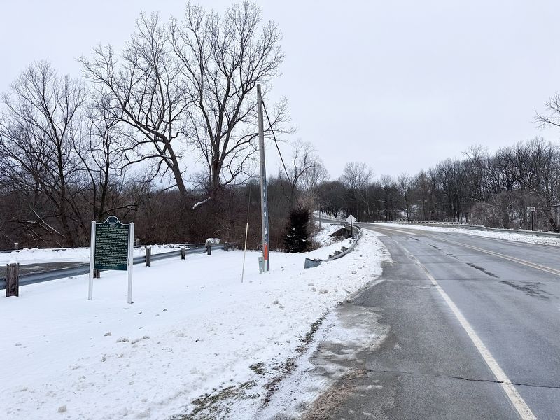
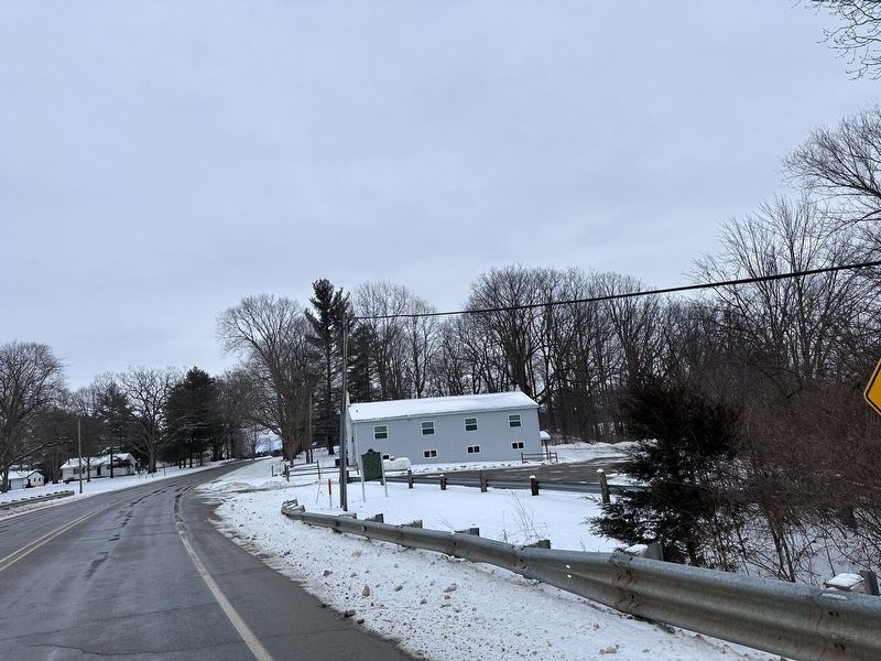
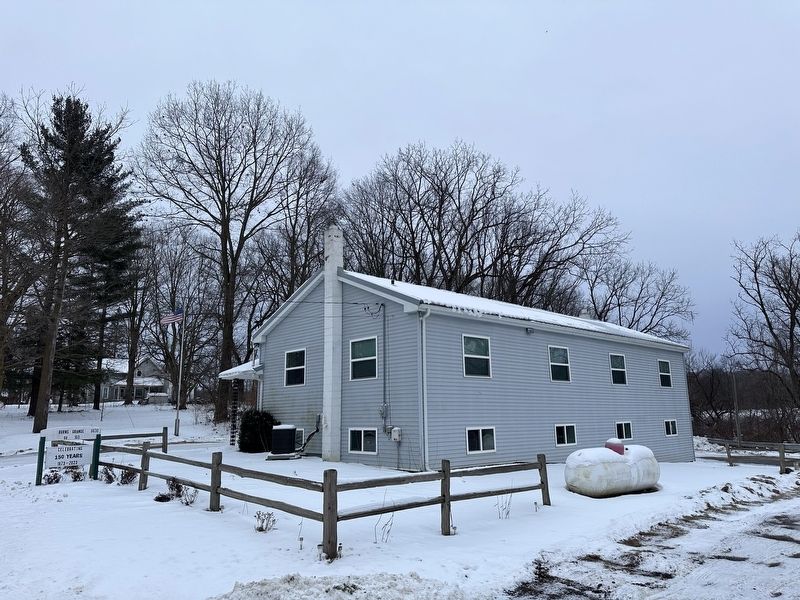
Location. 42° 51.655′ N, 84° 1.878′ W. Marker is in Bancroft, Michigan, in Shiawassee County. It is in Burns Township. Marker is on Cole Road near Miller Road, on the right when traveling east. Touch for map. Marker is at or near this postal address: 6630 Cole Road, Bancroft MI 48414, United States of America. Touch for directions.
Other nearby markers. At least 8 other markers are within 5 miles of this marker, measured as the crow flies. Site of the Bancroft School (approx. 1.9 miles away); Bancroft Veterans Memorial (approx. 2.3 miles away); Train E243 Collision (approx. 4.2 miles away); Sandula Clock Tower (approx. 4.2 miles away); Durand Union Station (approx. 4.2 miles away); Southeast 100 Block Saginaw Street (approx. 4.2 miles away); Durand Railroad History / The Knights Templar Special (approx. 4.2 miles away); VFW Post 2272 Veterans Memorial (approx. 4.7 miles away). Touch for a list and map of all markers in Bancroft.
More about this marker. This is a replacement marker with new text. The previous marker at the same location which was stolen in 2013.
Credits. This page was last revised on January 25, 2024. It was originally submitted on January 22, 2024, by J.T. Lambrou of New Boston, Michigan. This page has been viewed 50 times since then. Last updated on January 24, 2024, by J.T. Lambrou of New Boston, Michigan. Photos: 1, 2, 3, 4. submitted on January 22, 2024, by J.T. Lambrou of New Boston, Michigan. • J. Makali Bruton was the editor who published this page.


