Listowel in County Kerry, Munster, Ireland — Irish South-West ((Éire) North Atlantic Ocean)
"River Fort"
Photographed by William Fischer, Jr., April 10, 2009
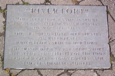
1. "River Fort" Marker
This sculpture was designed by local councillor and craftsman Tony O'Callaghan
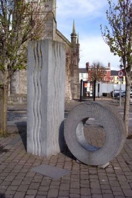
The “Standing Stone” illustrates the River Feale which flows around our town.
The “Ring” depicts an earthen fort situated in the vicinity of the town from which the town got its name Lios Tuathail (Listowel).
Topics. This historical marker is listed in these topic lists: Arts, Letters, Music • Forts and Castles • Settlements & Settlers • Waterways & Vessels.
Location. 52° 26.696′ N, 9° 29.155′ W. Marker is in Listowel, Munster, in County Kerry. It is at the intersection of Bridge Road (National Road 69) and the Town Square, in the median on Bridge Road. Marker is about fifty feet south of the St. John's Theater (former church), on the town square. Touch for map. Touch for directions.

Regionally, it is on the Atlantic Ocean, in the North Atlantic Region, on the Atlantic Arc, in Europe, on the Island of Ireland, on the Celtic Fringe, in the European Union, in Atlantic Europe, on one of the British Isles, in the Western World, and in the Anglosphere.
this page online
Other nearby markers. At least 5 other markers are within 14 kilometers of this marker, measured as the crow flies: Maid of Erin (about 90 meters away, measured in a direct line); Teampaillín Bán (approx. one kilometer away); To the People of Ireland (approx. 10 kilometers away); Thatched Chapel Cross (approx. 14.2 kilometers away); Reverend William Casey (approx. 14.2 kilometers away).
Photographed by William Fischer, Jr., April 10, 2009
2. "River Fort" Marker and Sculpture
Photographed by William Fischer, Jr., April 10, 2009
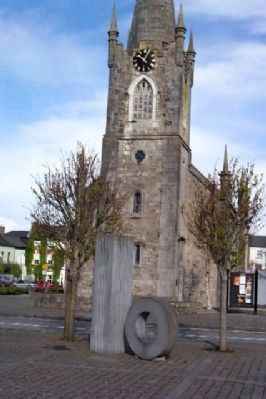
3. "River Fort" Sculpture
Looking north, with St. John's Theater (former church) in background.
Photographed by William Fischer, Jr., April 10, 2009
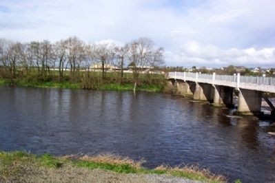
4. River Feale
Listowel Racetrack in far background.
Photographed by William Fischer, Jr., April 10, 2009
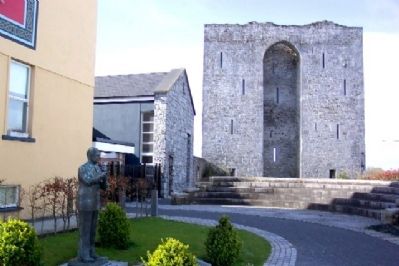
5. Listowel Castle
Later Norman fortification overlooking the River Feale; not the "Ring Fort" mentioned in the marker.
Photographed by William Fischer, Jr., April 10, 2009
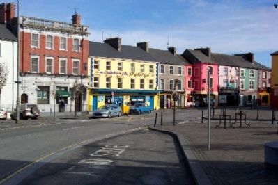
6. Buildings along north edge of Town Square
Credits. This page was last revised on January 12, 2022. It was originally submitted on November 2, 2009, by William Fischer, Jr. of Reynoldsburg, Ohio. This page has been viewed 1,386 times since then and 16 times this year. Photos: 1, 2, 3, 4, 5, 6. submitted on November 2, 2009.
