Stanton in Martin County, Texas — The American South (West South Central)
Martin County
Photographed by Bill Kirchner, November 12, 2017
1. Martin County Marker
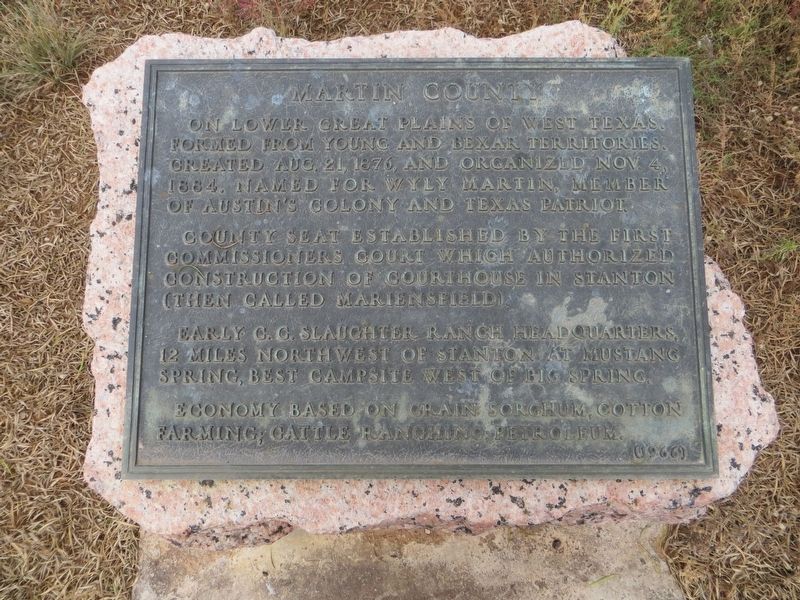
On lower great plains of west Texas. Formed from Young and Bexar territories. Created Aug. 21, 1876, and organized Nov. 4, 1884. Named for Wyly Martin, member of Austin's colony and Texas patriot.
County seat established by the first commissioners court which authorized construction of courthouse in Stanton (then called Mariensfield).
Early C. C. Slaughter ranch headquarters, 12 miles northwest of Stanton at Mustang Spring, best campsite west of Big Spring.
Economy based on grain sorghum, cotton farming; cattle ranching; petroleum.
Erected 1966 by State of Texas. (Marker Number 3227.)
Topics and series. This historical marker is listed in these topic lists: Agriculture • Political Subdivisions • Settlements & Settlers. In addition, it is included in the Texas 1936 Centennial Markers and Monuments series list. A significant historical date for this entry is August 21, 1876.
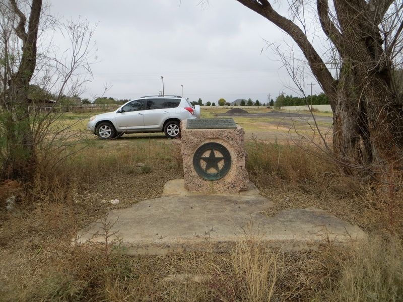
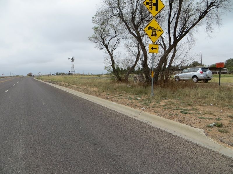
Location. 32° 7.315′ N, 101° 48.589′ W. Marker is in Stanton, Texas, in Martin County. It is on Business Interstate 20 half a mile west of State Highway 137, on the right when traveling west. Marker is hidden by trees on north side of road.
this page online

Regionally, this marker is in West Texas. It is also in the American Southwest. Globally, it is in North America, a Gulf of Mexico state, the Western Hemisphere, the Western World, and the Anglosphere. Historically, it finds itself in what was once New Spain, the Comanchería, the Republic of Texas, and one of the Confederate States of America.
Other nearby markers. At least 8 other markers are within 3 miles of this marker, measured as the crow flies: Old Martin County Jail (approx. 1.3 miles away); Marienfeld (approx. 1.3 miles away); Stanton Church of Christ (approx. 1.4 miles away); First United Methodist Church of Stanton (approx. 1.4 miles away); Connell House (approx. 1.4 miles away); Site of St. Joseph's Church (approx. 1.4 miles away); Carmelite Monastery (approx. 1.4 miles away); J. E. Millhollon Ranch House (approx. 2.3 miles away). Touch for a list and map of all markers in Stanton.
Photographed by Bill Kirchner, November 12, 2017
2. Martin County Marker
Photographed by Bill Kirchner, November 12, 2017
3. Martin County Marker
Credits. This page was last revised on December 1, 2024. It was originally submitted on July 22, 2018, by Bill Kirchner of Tucson, Arizona. This page has been viewed 459 times since then and 40 times this year. Last updated on January 26, 2024, by Jeff Leichsenring of Garland, Texas. Photos: 1, 2, 3. submitted on July 22, 2018, by Bill Kirchner of Tucson, Arizona. • James Hulse was the editor who published this page.
