Hanover Township near Loudonville in Ashland County, Ohio — The American Midwest (Great Lakes)
The Plow
Photographed by Craig Doda, January 27, 2024
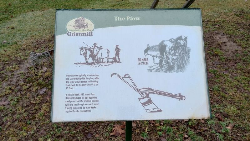
1. The Plow Marker
It wasn't until 1837 when John Deere introduced his self-scouring steel plow, that the problem inherent with the cast iron plows went away (freeing the one to do other tasks required for the homestead).
Topics. This historical marker is listed in this topic list: Agriculture. A significant historical year for this entry is 1837.
Location. 40° 36.123′ N, 82° 15.694′ W. Marker is near Loudonville, Ohio, in Ashland County. It is in Hanover Township. It can be reached from Ohio 3, on the right when traveling north. Touch for map. Marker is at or near this postal address: 3175 OH-3, Loudonville OH 44842, United States of America. Touch for directions.

Regionally, this marker is in Amish Country. It is also in the American Midwest. Globally, it is in North America, the Western Hemisphere, the Western World, and the Anglosphere. Historically, it finds itself in what was once the Haudenosaunee (Iroquois) Confederacy, the territory of the Mississippian Culture, and the
this page online
Other nearby markers. At least 8 other markers are within walking distance of this marker: The Sorghum Press (a few steps from this marker); The Corn Crib (a few steps from this marker); The Henhouse (within shouting distance of this marker); The Outhouse (within shouting distance of this marker); The Smokehouse (within shouting distance of this marker); The Old Mill (about 300 feet away, measured in a direct line); A Brief History of the Mill (about 300 feet away); Wolf Creek (Pine Run) Grist Mill (about 400 feet away). Touch for a list and map of all markers in Loudonville.
More about this marker. The marker is located just north of Wolf Creek Grist Mill in Mohican State Park.
Photographed by Craig Doda, January 27, 2024
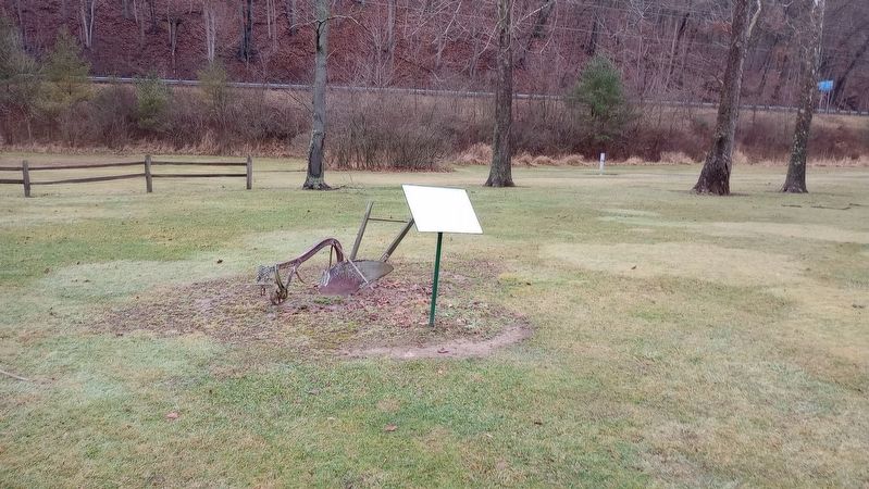
2. The Plow Marker
Photographed by Craig Doda, January 27, 2024
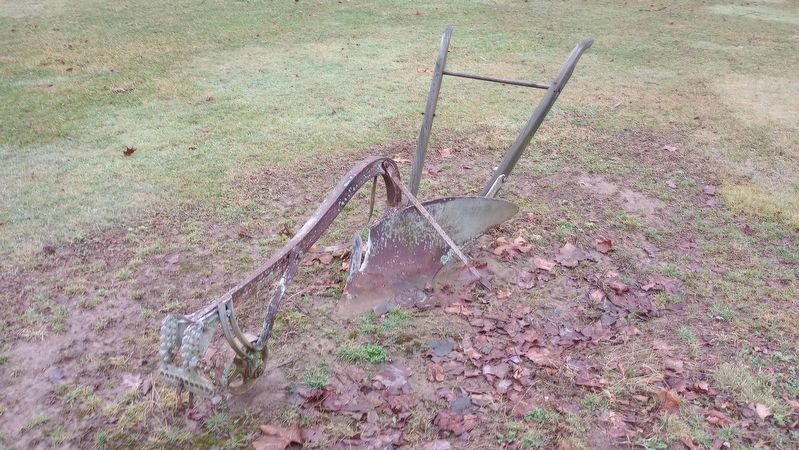
3. The Plow
Credits. This page was last revised on November 15, 2024. It was originally submitted on January 28, 2024, by Craig Doda of Napoleon, Ohio. This page has been viewed 217 times since then and 18 times this year. Photos: 1, 2, 3. submitted on January 28, 2024, by Craig Doda of Napoleon, Ohio. • Andrew Ruppenstein was the editor who published this page.
