Embarcadero in San Francisco City and County, California — The American West (Pacific Coastal)
Stephan C. Leonoudakis
Golden Gate Ferry Terminal
| — | San Francisco, California | — |
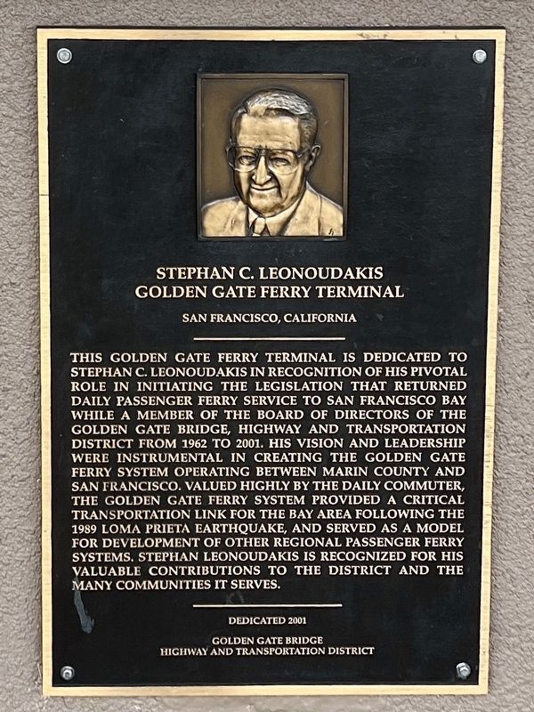
Photographed by Adam Margolis, December 15, 2023
1. Stephan C. Leonoudakis Golden Gate Ferry Terminal Marker
Erected 2001 by Golden Gate Bridge Highway and Transportation District.
Topics. This historical marker is listed in these topic lists: Charity & Public Work • Disasters • Waterways & Vessels. A significant historical year for this entry is 1962.
Location. 37° 47.729′ N, 122° 23.551′ W. Marker is in San Francisco,
this page online

Regionally, this marker is on California’s Coast Ranges. It is also on the American Pacific Coast. Globally, it is in North America, on the Ring of Fire, in the Pacific Rim, in the Western Hemisphere, in the Western World, and in the Anglosphere. Historically, it finds itself in what was once New Spain and also Mexico’s Alta California.
Other nearby markers. At least 8 other markers are within walking distance of this marker: Signs of History (about 300 feet away); Port Time (about 400 feet away); Ferry Building (about 400 feet away); Klebingat Recalls The City Front (about 400 feet away); Fruit Seller (about 400 feet away); a different marker also named Splendid Survivor (about 400 feet away); Freeway Supports (about 500 feet away); Getting Around (about 600 feet away). Touch for a list and map of all markers in San Francisco.
Other
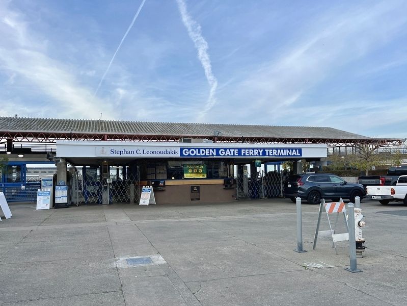
Photographed by Adam Margolis, December 15, 2023
2. Stephan C. Leonoudakis Marker
Credits. This page was last revised on February 14, 2024. It was originally submitted on January 31, 2024, by Adam Margolis of Mission Viejo, California. This page has been viewed 1,014 times since then and 49 times this year. Photos: 1, 2. submitted on January 31, 2024, by Adam Margolis of Mission Viejo, California. • Andrew Ruppenstein was the editor who published this page.
