
Near Lexington in Rockbridge County, Virginia — The American South (Mid-Atlantic)
New Monmouth Church
Photographed by Tim Fillmon, August 15, 2022
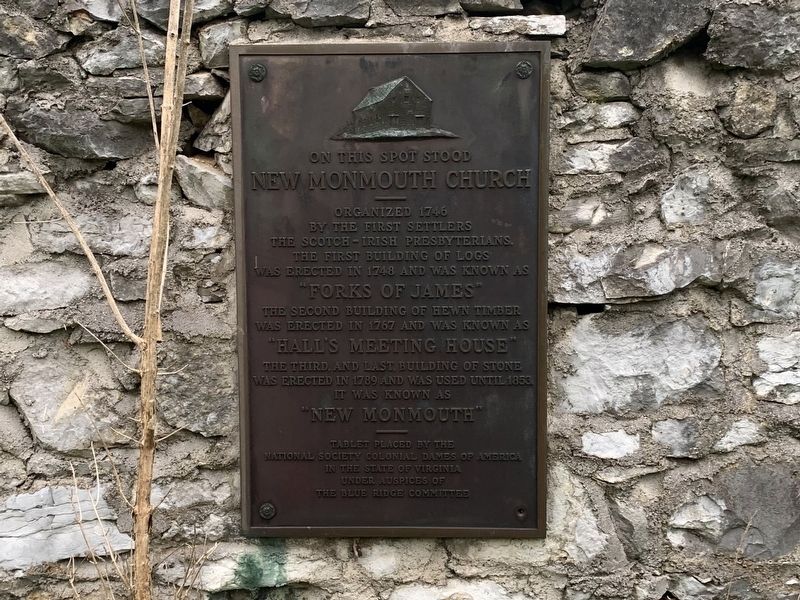
1. New Monmouth Church Marker
New Monmouth Church
Organized 1746
by the first settlers
the Scotch-Irish Presbyterians.
The first building of logs
was erected in 1748 and was known as
"Forks of James"
The second building of hewn timber
was erected in 1767 and was known as
"Hall's Meeting Hosue"
The third and last building of stone
was erected in 1789 and was used until 1853.
It was known as
"New Monmouth"
Tablet placed by the
National Society of Colonial Dames of America
In the State of Virginia
Under the auspices of
The Blue Ridge Committee
Erected by National Society Colonial Dames of America.
Topics and series. This historical marker is listed in this topic list: Religion & Religious Structures. In addition, it is included in the The Colonial Dames of America, National Society of series list. A significant historical year for this entry is 1746.
Location. 37° 48.506′ N, 79° 28.382′ W. Marker is near Lexington, Virginia, in Rockbridge County. It is at the intersection of West Midland Trail (U.S. 60) and Beatty Hollow (Virginia Route 669), on the right when traveling north on West Midland Trail. Touch for map.
this page online

Regionally, this marker is in the Mountain Region. It is also in the American South, specifically in the Upper South, in Appalachia, and specifically in Southern Appalachia. Globally, it is in North America, the Western Hemisphere, the Western World, and the Anglosphere. Historically, it finds itself in what was once the territory of the Mississippian Culture, one of the original Thirteen Colonies, one of the Confederate States of America, and the Antebellum South.
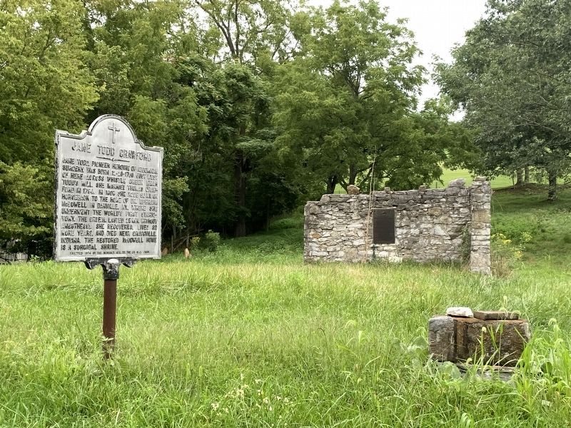
Other nearby markers. At least 8 other markers are within 3 miles of this marker, measured as the crow flies: Jane Todd Crawford (here, next to this marker); New Monmouth Church and Morrison’s Birthplace (within shouting distance of this marker); Liberty Hall Academy Ruins (approx. 1.6 miles away); Liberty Hall Academy (approx. 1.7 miles away); Founding of Kappa Alpha Order (approx. 1.9 miles away); Omicron Delta Kappa (approx. 2.1 miles away); Historic Lexington Train Station (approx. 2.1 miles away); Bell, 1890 (approx. 2.2 miles
Photographed by Tim Fillmon, August 15, 2022
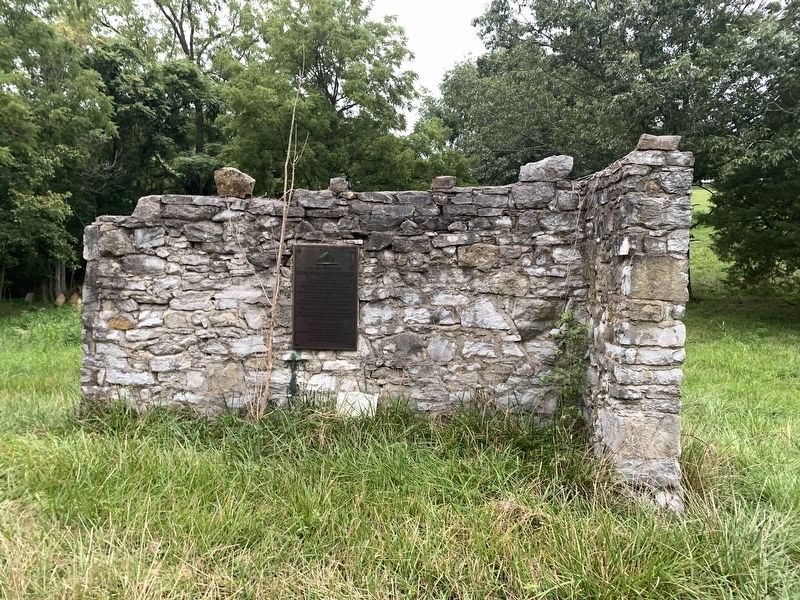
2. New Monmouth Church Marker
Also see . . . New Monmouth Presbyterian Church. (Submitted on February 2, 2024, by Tim Fillmon of Webster, Florida.)
Photographed by Tim Fillmon, August 15, 2022
3. New Monmouth Church Marker
Credits. This page was last revised on October 26, 2024. It was originally submitted on February 2, 2024, by Tim Fillmon of Webster, Florida. This page has been viewed 531 times since then and 47 times this year. Photos: 1, 2, 3. submitted on February 2, 2024, by Tim Fillmon of Webster, Florida.
