Cossourado e Linhares in Paredes de Coura, Viana do Castelo, Portugal — Southwestern Europe (Iberian Peninsula)
Ponte Romano-Medieval de Rubiães
⎯⎯⎯
Roman-Medieval Bridge of Rubiães
Photographed by Andrew Ruppenstein, September 6, 2023
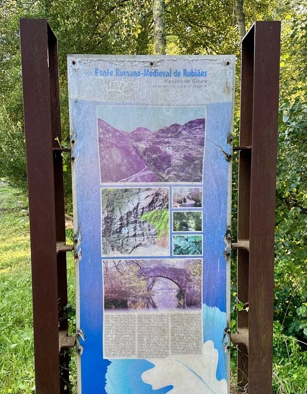
1. Ponte Romano-Medieval de Rubiães / Roman-Medieval Bridge of Rubiães Marker

Originalmente, a Ponte Romano-Medieval de Rubiães surge integrada na Via Romana XIX, do Itinerário de Antonino, que ligava Braga (Bracara Augusto) a Astorga (Asturica Augusta), e que constituía a comunicação mais relevante do Império Romano no Noroeste da Península Ibérica. A sua configuração actual, resultante da sua remodelação na época Medieval, justifica-se pela revitalização da Via XIX como matriz do Caminho Português de Santiago, e pela importância que o fenómeno da Peregrinação atingiu na época.. Apresenta um arco simples, de volta perfeita, apoiado numa estrutura de suporte em pedra, que prima pela simplicidade e depuração arquitectónica. Encontra-se enquadrada numa paisagem de vegetação ripícola, com Freixos (Fraxinus angustifolia) e Amieiros (Alnus glutinosa). que a encobre das parcelas agrícolas. Para além do Caminho de Santiago, a Ponte de Rubiães encontra-se articulada com o Percurso Pedestre dos Miliários, com início na Igreja de Cossourado, que se estende por 9Km repletos de património arqueológico. Na sua proximidade junto à capela de S. Bartolomeu, no lugar das
this page online
Onginalmente, el Puente Romano-Medieval de Rubiães surge integrado en la Vía Romana XIX, del Itinerario de Antonino, que unía Braga (Bracara Augusta) y Astorga (Asturica Augusta), que constituya el medio de comunicación más relevante del Imperio Romano en el Noroeste de la Península Ibérica. Su actual configuración, resultado de la remodelación operada en la época medieval, se justifica por la revitalización de la Vía XIX como matriz del Camino Portugués de Santiago, y por la importancia que el fenómeno de la peregrinación alcanzó en la época. Muestra un arco simple, de vuelta perfecta, apoyado sobre una estructura de soporte en piedra, que prima por su simplicidad y depuración arquitectónica. Se encuentran encuadradas en un paisaje de vegetación ribereña, con Fresnos (Fraxinus angustifolia) y Alisos (Alnus glutinosa), que la cubre de parcelas agrícolas. Además del Camino de Santiago, la Puente de Rubiäes, se encuentra articulada con la Ruta de los Miliários,
Photographed by Andrew Ruppenstein, September 6, 2023
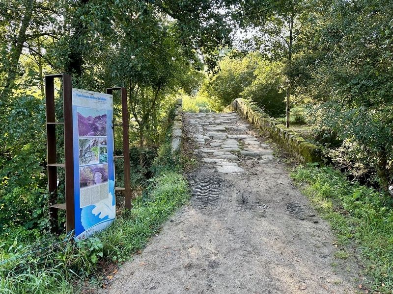
2. Roman-Medieval Bridge of Rubiães and marker, approach from the west
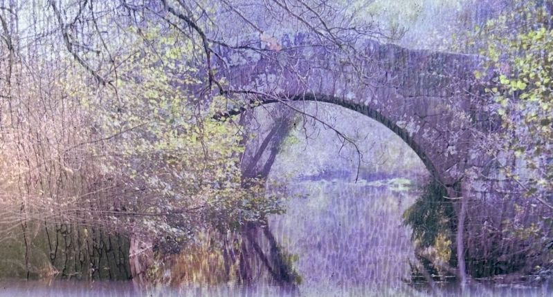
Originally, the Roman-Medieval Bridge of Rubiães appears integrated in the Roman Route XIX (Antonino itinerary), which connected Braga (Bracara Augusta) to Astorga (Astúnca Augusta). It was the most important communication way of the Roman Empire in the Norwest of the Iberian Peninsula. Its current configuration, resulting from the later medieval intervention, is justified by rehabilitation of the Roman Route XIX as the matrix of the Portuguese Way to Santiago de Compostela, and the significance that the pilgrimage phenomenon reached at that time. It presents a simple round arch supported by a stone structure, which excels in architectonic simplicity and refinement. The bridge is framed in a landscape of riparian vegetation, with Freixos (Fraxinus angustifolia)
3. Marker photo: view of bridge
Topics. This historical marker is listed in these topic lists: Bridges & Viaducts • Roads & Vehicles.
Location. 41° 54.252′ N, 8° 37.587′ W. Marker is in Cossourado e Linhares, Viana do Castelo, in Paredes de Coura. It is on Etapa Valença-Rubiães. Touch for map. Marker is in this post office area: Cossourado e Linhares, Viana do Castelo 4940, Portugal. Touch for directions.

Regionally, it is in the North Atlantic Region, in Europe, in the European Union, in Atlantic Europe, on the Iberian Peninsula, in the Schengen Area, and in the Western World. Historically, it finds itself in what was once Portuguese colonies and also the Roman Empire.
Other nearby markers. At least 8 other markers are within 16 kilometers of this marker, measured as the crow flies: Ponte “Romana” de Rubiães / “Roman” Bridge of Rubiães (approx. 0.4 kilometers away); Ponte do Arco de Geia Bridge Memorial (approx. 12.1 kilometers away); Centro Histórico de Valença / Historic Center of Valença (approx. 13.9 kilometers away); Ponte Internacional sobre o Miño / River Miño International Bridge (approx. 15 kilometers away in Spain); Capela do Anjo da Guarda / Chapel of the Guardian Angel (approx. 15.3 kilometers away); Igreja de San António da Torre Velha / Church of San Antonio of the Old Tower (approx. 15.3 kilometers away); Chafariz / Fountain (approx. 15.5 kilometers away); Ponte Sobre O Rio Lima / Bridge Over the River Lima (approx. 15.5 kilometers away).
More about this marker. Although Google calls the route “Etapa Valença-Rubiães”, the marker is on the route better known in English as the Portuguese Way, the pilgrimage route to Santiago de Compostela. The particular stretch the marker is on is better suited for pedestrians than anything else, but a paved road is not far away.
Credits. This page was last revised on February 6, 2024. It was originally submitted on February 6, 2024, by Andrew Ruppenstein of Lamorinda, California. This page has been viewed 198 times since then and 29 times this year. Photos: 1, 2, 3. submitted on February 6, 2024, by Andrew Ruppenstein of Lamorinda, California.
