Near Florissant in Teller County, Colorado — The American Mountains (Southwest)
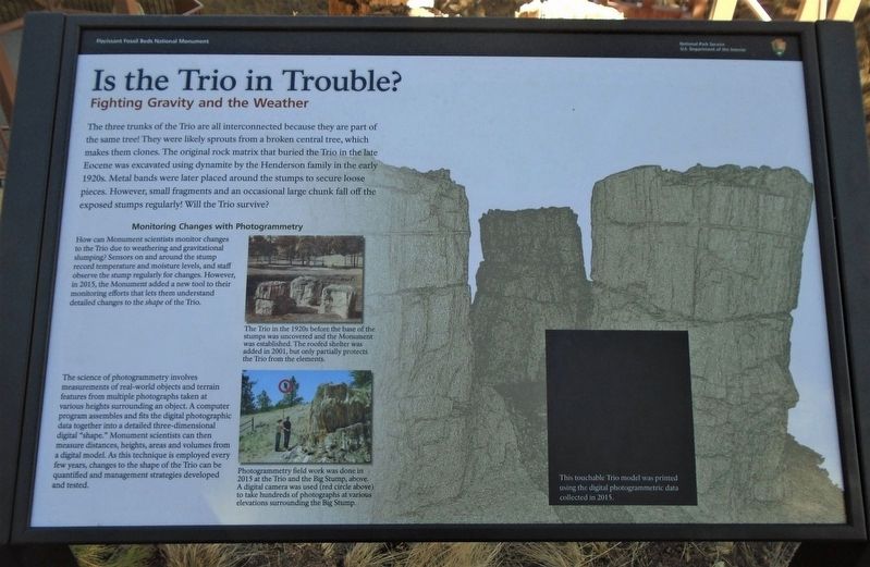
Is the Trio in Trouble?
Fighting Gravity and the Weather
Monitoring Changes with Photogrammetry
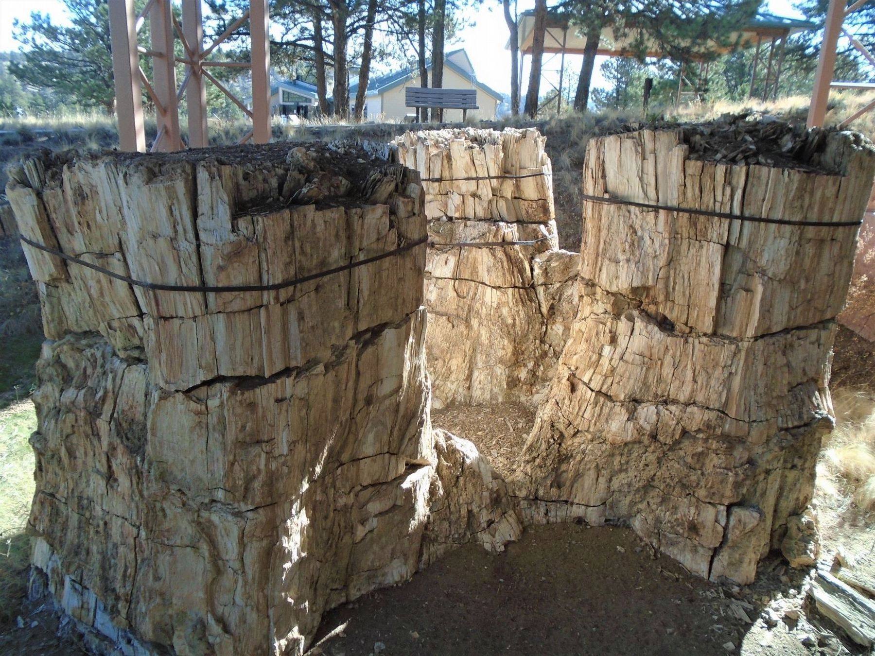
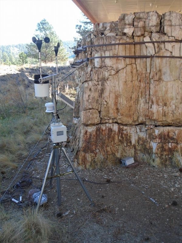
How can Monument scientists monitor changes to the Trio due to weathering and gravitational slumping? Sensors on and around the stump record temperature and moisture levels, and staff observe the stump regularly for changes. However, in 2015, the Monument added a new tool to their monitoring efforts that lets them understand detailed changes to the shape of this Trio.
The science of photogrammetry involves measurements of real-world objects and terrain features from multipe photographs taken at various heights surrounding an object. A computer program assembles and fits the digital photographic data together into a detailed three-dimensional digital "shape." Monument scientists can then measure distances, heights, areas and volumes from a digital model. As this technique is employed every few years, changes to the shape of the Trio can be quantified and management strategies developed and tested.
[Photo captions, top to bottom, read]
• The Trio in the 1920s before the base of the stumps was uncovered and the Monument was established. The roofed shelter was added in 2001, but only partially protects the Trio from the elements.
• Photogrammetry field work was done in 2015 at the Trio and the Big Stump, above. A digital camera was used (red circle above) to take hundreds of photographs at various elevations surrounding the Big Stump.
[Black box in background photo caption reads]
This touchable Trio model was printed using the digital photogrammetric data collected in 2015.
[It appears that the model was removed to limit touching during the pandemic]
Erected by National Park Service.
Topics. This historical marker is listed in these topic lists: Education • Environment • Paleontology • Science & Medicine. A significant historical year for this entry is 2015.
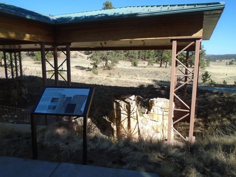
Location. 38° 54.818′ N, 105° 17.18′ W. Marker is near Florissant, Colorado, in Teller County. Marker is adjacent to the large Florissant Fossil Beds National Monument pavilion covering exposed petrified Redwood stumps, west of the Visitor Center. Touch for map. Marker is at or near this postal address: 15807 County Road 1, Florissant CO 80816, United States of America. Touch for directions.
Other nearby markers. At least 8 other markers are within walking distance of this marker. Just One Piece at a Time (here, next to this marker); Layers of Time (a few steps from this marker); Ancient Clones (a few steps from this marker); Dawn of the Recent Past (a few steps from this marker); Delicate Impressions (a few steps from this marker); Reading the Rings (a few steps from this marker); Florissant Valley Today (a few steps from this marker); Ancient Forest Diversity (within shouting distance of this marker). Touch for a list and map of all markers in Florissant.
Also see . . .
1. Florissant Fossil Beds National Monument. (Submitted on October 22, 2020, by William Fischer, Jr. of Scranton, Pennsylvania.)
2. Photogrammetry (Cultural Heritage Imaging: a non-profit corporation). (Submitted on October 22, 2020, by William Fischer, Jr. of Scranton, Pennsylvania.)
Credits. This page was last revised on February 7, 2024. It was originally submitted on October 22, 2020, by William Fischer, Jr. of Scranton, Pennsylvania. This page has been viewed 138 times since then and 13 times this year. Last updated on February 6, 2024, by Connor Olson of Kewaskum, Wisconsin. Photos: 1, 2, 3. submitted on October 22, 2020, by William Fischer, Jr. of Scranton, Pennsylvania. 4. submitted on October 23, 2020, by William Fischer, Jr. of Scranton, Pennsylvania. • J. Makali Bruton was the editor who published this page.


