Cossourado e Linhares in Paredes de Coura, Viana do Castelo, Portugal — Southwestern Europe (Iberian Peninsula)
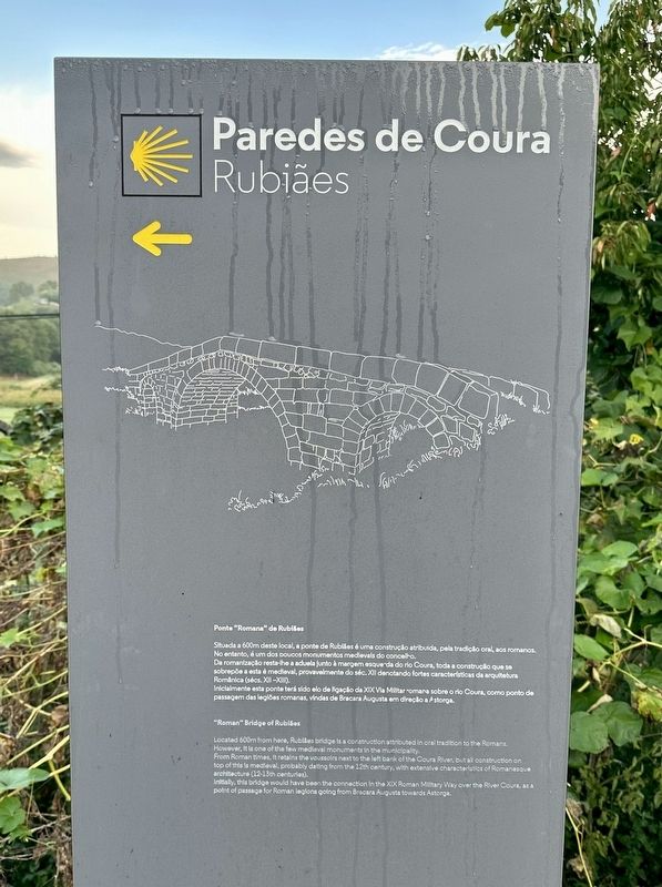
Ponte “Romana” de Rubiães
⎯⎯⎯
“Roman” Bridge of Rubiães
Paredes de Coura - Rubiãnes
Photographed by Andrew Ruppenstein, September 6, 2023
1. Ponte “Romana” de Rubiães / “Roman” Bridge of Rubiães Marker

Situada a 600m deste local, a ponte de Rubiães é uma construção atribuida, pela tradição oral, aos romanos. No entanto, é um dos poucos monumentos medievais do concelho. Da romanização resta-lhe a aduela junto à margem esquerda do rio Coura, toda a construção que se sobrepõe a esta é medieval, provavelmente do séc. XII denotando fortes características da arquitetura Românica (sécs. XII-XIII). Inicialmente esta ponte terá sido elo de ligação da XIX Via Militar romana sobre o rio Coura, como ponto de passagem das legiões romanas, vindas de Bracara Augusta em direção a Astorga.
Located 600m from here, Rubiães bridge is a construction attributed in oral tradition to the Romans. However, it is one of the few medieval monuments in the municipality. From Roman times, it retains the voussoirs next to the left bank of the Coura River, but all construction on top of this is medieval, probably dating from the 12th century, with extensive characteristics of Romanesque architecture (12-13th centuries). Initially, this bridge would have been the connection in
this page online
Topics. This historical marker is listed in these topic lists: Bridges & Viaducts • Roads & Vehicles.
Location. 41° 54.105′ N, 8° 37.375′ W. Marker is in Cossourado e Linhares, Viana do Castelo, in Paredes de Coura. It is on EN201, on the left when traveling north. Touch for map. Marker is at or near this postal address: EN201 695, Cossourado e Linhares, Viana do Castelo 4940, Portugal. Touch for directions.

Regionally, it is in the North Atlantic Region, in Europe, in the European Union, in Atlantic Europe, on the Iberian Peninsula, in the Schengen Area, and in the Western World. Historically, it finds itself in what was once Portuguese colonies and also the Roman Empire.
Other nearby markers. At least 8 other markers are within 16 kilometers of this marker, measured as the crow flies: Ponte Romano-Medieval de Rubiães / Roman-Medieval Bridge of Rubiães (approx. 0.4 kilometers away); Ponte do Arco de Geia Bridge Memorial (approx. 11.8
Photographed by Andrew Ruppenstein, September 6, 2023
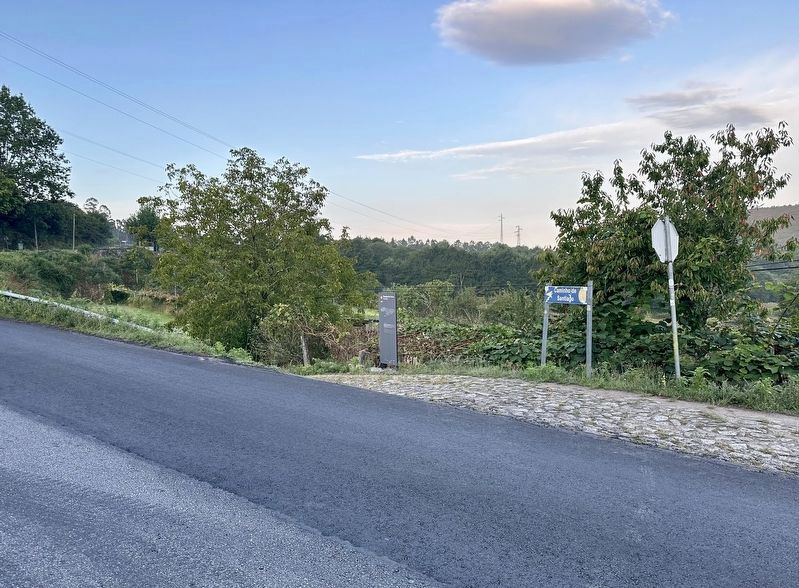
2. Ponte “Romana” de Rubiães / “Roman” Bridge of Rubiães Marker - wide view
The marker is situated at the side of the road, with the yellow arrow and stylized scallop shell on the marker indicating that at this point the Caminho Português (the pilgrimage route to Santiago de Compostela) leaves the paved road to follow an unpaved route following the old Roman Via XIX. Reaching the bridge is a little over a five minute walk from this point.
Related marker. Click here for another marker that is related to this marker.
Also see . . . Ponte Romana de Rubiães (Monumentos (SIPA), in Portuguese). From the Portuguese government’s monument database.
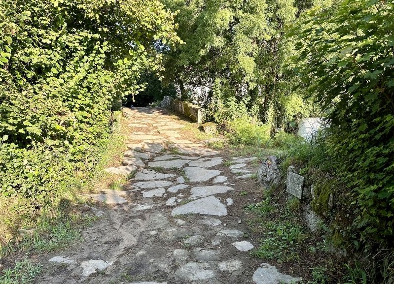
Excerpt (in translation): Although it is often considered Roman, perhaps due to the use of full-center arches, the various authors consulted tend to consider it medieval; Carlos Alberto Ferreira de Almeida considers it even more modern, and is therefore a remade work. We do not exclude the latter hypothesis, however its structure seems medieval to us, as although we do not see acronyms, it has smooth, unrusticated ashlarwork(Submitted on February 6, 2024.)and the voussoirs of the arches are long and narrow. Sections of the medieval path still remain on both sides of the bridge, heirs of the Roman road.Photographed by Andrew Ruppenstein, September 6, 20233. Approach to the bridge from the east (i.e., from the marker)
Photographed by Andrew Ruppenstein, September 6, 2023
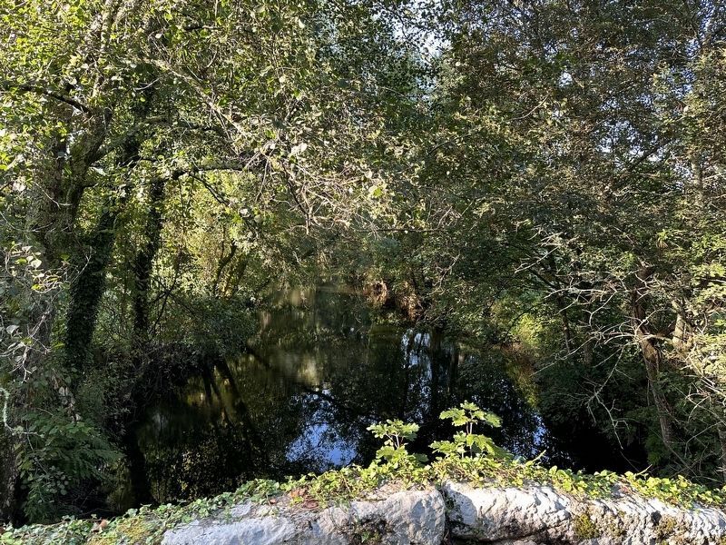
4. View from the bridge
The bridge crosses the Coura River, and the banks are kept as riparian habitat, meaning the view from the bridge is fairly restricted.
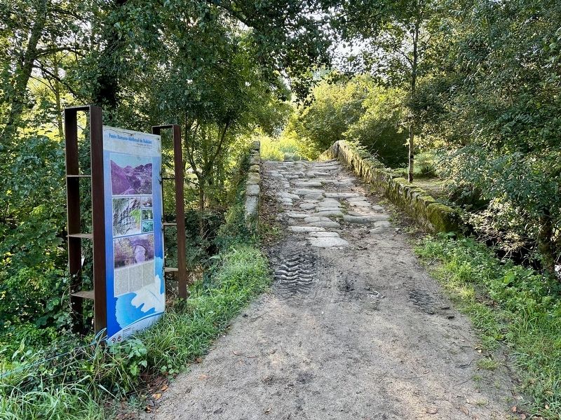
Photographed by Andrew Ruppenstein, September 6, 2023
5. Approach to the bridge from the west, with related marker
Credits. This page was last revised on February 6, 2024. It was originally submitted on February 6, 2024, by Andrew Ruppenstein of Lamorinda, California. This page has been viewed 206 times since then and 26 times this year. Photos: 1, 2, 3, 4, 5. submitted on February 6, 2024, by Andrew Ruppenstein of Lamorinda, California.
