St. George in Washington County, Utah — The American Mountains (Southwest)
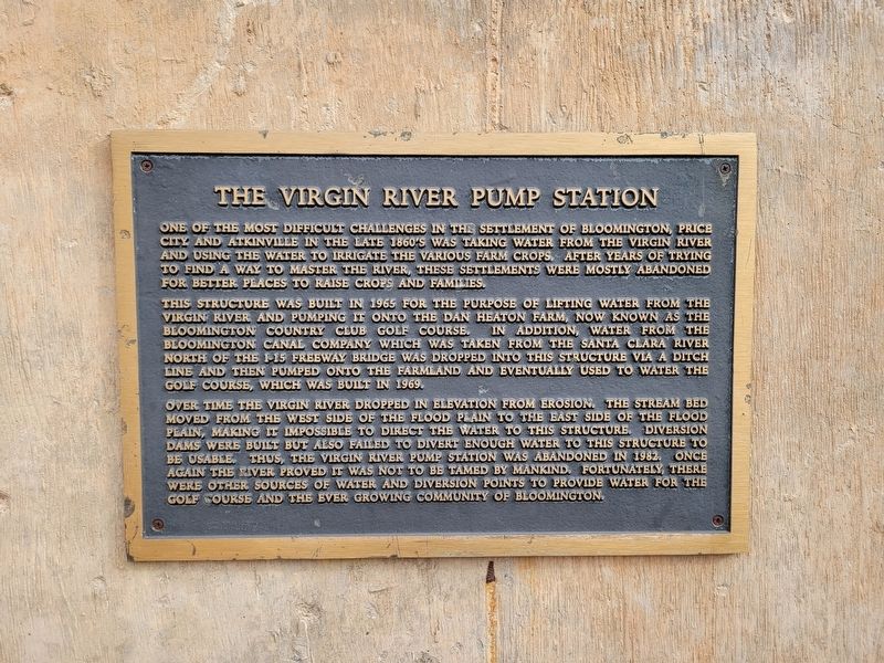
Virgin River Pump Station
One of the most difficult challenges in the settlement of Bloomington, Price City and Atkinville in the late 1860's was taking water from the Virgin River and using the water to irrigate the various farm crops. After years of trying to find a way to master the river, these settlements were mostly abandoned for better places to raise crops and families.
This structure was built in 1965 for the purpose of lifting water from the Virgin River and pumping it onto the Dan Heaton farm, now known as the Bloomington Country Club Golf Course. In addition, water from the Bloomington Canal Company which was taken from the Santa Clara River north of the I-15 freeway bridge was dropped into this structure via a ditch line and then pumped onto the farmland and eventually used to water the golf course, which was built in 1969.
Over time the Virgin River dropped in elevation from erosion. The stream bed moved from the west side of the flood plain to the east side of the flood plain, making it impossible to direct the water to this structure. Diversion dams were built but also failed to divert enough water to this structure to be usable. Thus, the Virgin River pump station was abandoned in 1982. Once again the river proved it was not to be tamed by mankind. Fortunately, there were other sources of water and diversion points to provide water for the golf course and the ever growing community of Bloomington.
Topics. This historical marker is listed in these topic lists: Agriculture • Environment • Settlements & Settlers. A significant historical year for this entry is 1965.
Location. 37° 3.267′ N, 113° 36.09′ W. Marker is in St. George, Utah, in Washington County. Marker is on South Bloomington Drive. Touch for map. Marker is in this post office area: Saint George UT 84790, United States of America. Touch for directions.
Other nearby markers. At least 8 other markers are within 2 miles of this marker, measured as the crow flies. Bloomington (about 700 feet away, measured in a direct line); Utah Is Rich in Aviation History (approx. 0.8 miles away); Monument to the Flood of 2005 (approx. 1.7 miles away); The Southern Exploring Company (approx. 1.7 miles away); The Confluence of the Santa Clara and Virgin Rivers (approx. 1.7 miles away); Old Spanish Trail (approx. 1.7 miles away); Jedediah Strong Smith (approx. 1.7 miles away); Brigham Young's Vision (approx. 1.8 miles away). Touch for a list and map of all markers in St. George.
Credits. This page was last revised on February 7, 2024. It was originally submitted on February 6, 2024, by Jeremy Snow of Cedar City, Utah. This page has been viewed 42 times since then. Photo 1. submitted on February 6, 2024, by Jeremy Snow of Cedar City, Utah. • Andrew Ruppenstein was the editor who published this page.
