Hastings in St. Johns County, Florida — The American South (South Atlantic)
Hastings Railroad
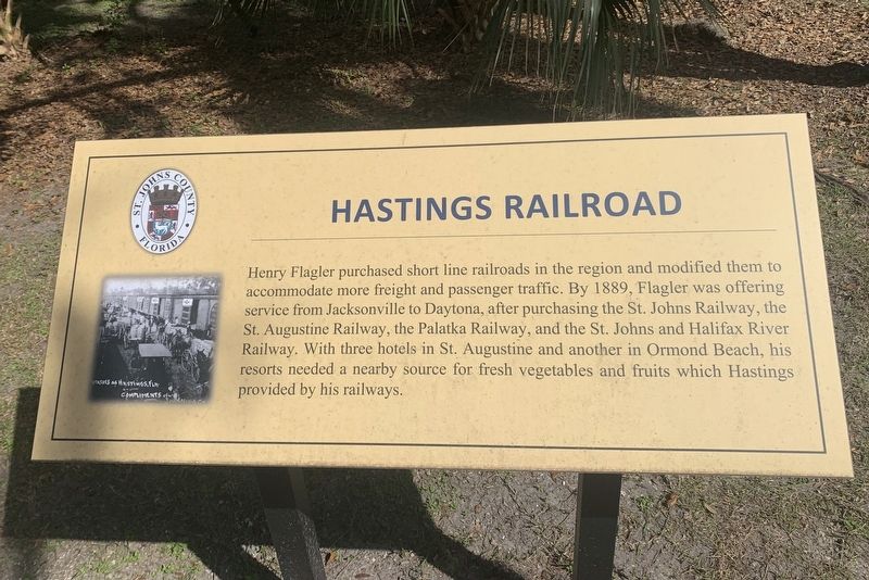
Photographed by Tim Fillmon, February 8, 2024
1. Hastings Railroad Marker
Erected by St. Johns County.
Topics. This historical marker is listed in these topic lists: Agriculture • Railroads & Streetcars. A significant historical year for this entry is 1889.
Location. 29° 42.956′ N, 81° 30.895′ W. Marker is in Hastings, Florida, in St. Johns County. It can be reached from West Church Street (Florida Route 207) 0.1 miles west of North Dancy Avenue. Marker is located a short distance down the trail from the parking lot. Touch for map. Marker is at or near this postal address: 8965 W Church St, Hastings FL 32145, United States of America. Touch for directions.

Regionally, this marker is in First
this page online
Other nearby markers. At least 8 other markers are within 6 miles of this marker, measured as the crow flies: A different marker also named Hastings Railroad (about 500 feet away, measured in a direct line); Derrick Ramsey (approx. 0.4 miles away); John Henry “Pop” Lloyd (approx. half a mile away); Hastings (approx. half a mile away); The Wetumpka Fruit Company (approx. 1.6 miles away); St. Ambrose Parish (approx. 5 miles away); History of McCullough Creek (approx. 5½ miles away); a different marker also named History of McCullough Creek (approx. 5.9 miles away). Touch for a list and map of all markers in Hastings.
Also see . . . Hastings: The Forgotten City That The Railroad Built. Metro Jacksonville
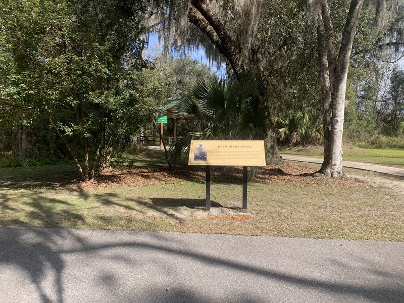
Photographed by Tim Fillmon, February 8, 2024
2. Hastings Railroad Marker
Credits. This page was last revised on April 28, 2026. It was originally submitted on February 8, 2024, by Tim Fillmon of Webster, Florida. This page has been viewed 241 times since then and 26 times this year. Photos: 1, 2. submitted on February 8, 2024, by Tim Fillmon of Webster, Florida.
