Brantford in Brant County, Ontario — Central Canada (North America)
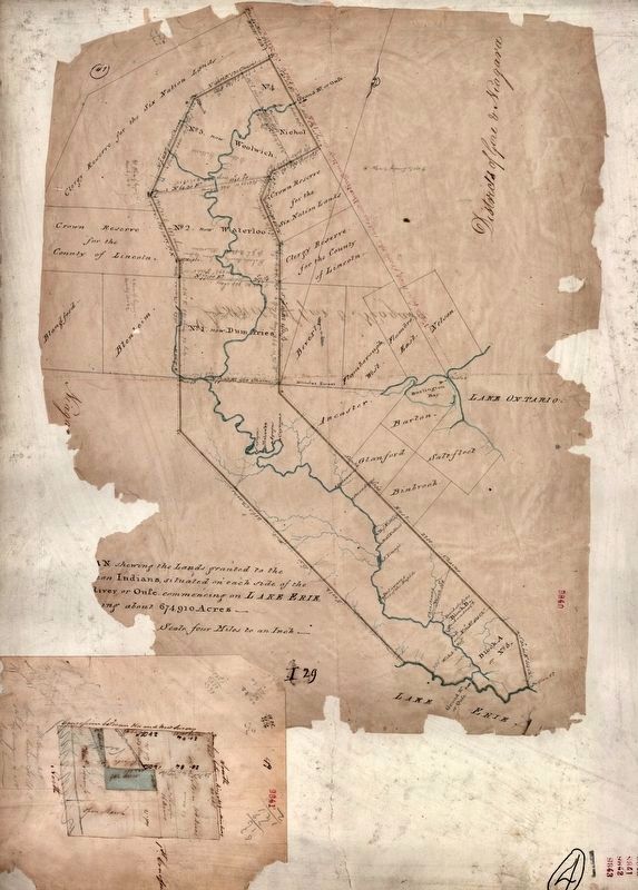
The Original Six Nations Land Grant
As surveyed in 1821
11,000 Years Ago - Nomadic hunter/ gatherer culture in tundra-like environment of the Grand River Valley.
9000 Years Ago - Hunter/gatherer culture begins to implement seasonal migratory camps. The environment has changed to deciduous forest.
1400 Years Ago - Native societies experiment with horticulture, evolving toward less nomadic, agrarian communities.
700 - 400 Years Ago - Native societies establish larger, more permanent, agricultural villages.
1600's - Evidence of early Iroquoian settlements along the Grand River close to present day Brantford. Beginning of European colonization.
1784 - Joseph Brant and the people of the Six Nations locate to a portion of their beaver hunting grounds in the Grand River Valley. Under the Haldimand Treaty, the Six Nations are granted lands... "six miles deep" along both sides of the entire Grand River, as compensation for fighting on behalf of the British during the American Revolution.
1785 - The Mohawk Chapel Is built in the village established by the Mohawk Nation on the banks of the Grand River. The Chapel still stands today as the first Protestant Church in Ontario and the only Royal Chapel in the World belonging to native people.
1753 - Widespread colonization. Over half of the original land grant is sold by Brant to European allies and farmers.
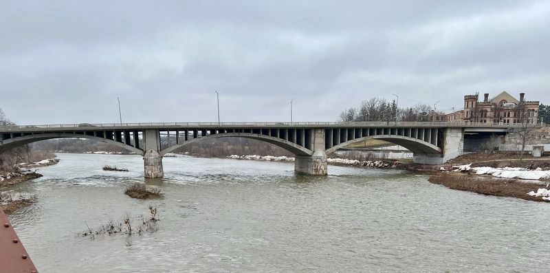
1805 - John Stalts establishes the first European settlement in the area, building a log cabin on the land in front of the current Armouries building 1827 - The community officially names the growing village "Brant's Ford." The "fording" place, where Joseph Brant reputedly first crossed the Grand River, Is located nearby - close to where the Lorne Bridge is today.
1830 - Sale of the first town lot in Brantford.
1841- The remaining Haldimand Treaty lands are placed in trust with the Crown.
1847 - The reserved land known today as the Six Nations of the Grand Valley Is established. The town of Brantford is incorporated.
1877 - Brantford officially becomes a city.
20th Century - Today, the Six Nations of the Grand River consists of 45,078 acres along the river just south of Brantford - less than 5% of the original lands. Six Nations retains its rich heritage and cultural identity, and is one of the most vibrant native communities in Canada.
Topics. This historical marker is listed in these topic lists: Native Americans • Settlements & Settlers • Waterways & Vessels. A significant historical year for this entry is 1821.
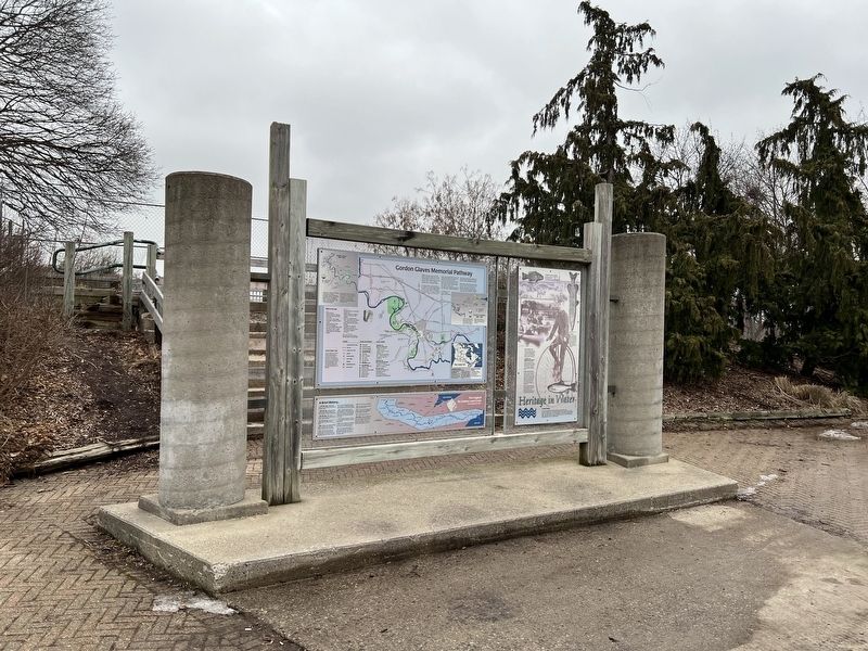
Location. 43° 8.19′ N, 80° 16.225′ W. Marker is in Brantford, Ontario, in Brant County. Marker is on Fordview Court, on the right. The marker is in Fordview Park, also visible from Colborne Street West. Touch for map. Marker is at or near this postal address: 5 Fordview Ct, Brantford ON N3T N3T, Canada. Touch for directions.
Other nearby markers. At least 8 other markers are within walking distance of this marker. Heritage in Water (here, next to this marker); Polish World War II Veterans Memorial (approx. 0.4 kilometers away); The Cenotaph (approx. 0.4 kilometers away); Bell Telephone Memorial (approx. 0.6 kilometers away); George Thomson (approx. 0.6 kilometers away); Walter Allward (approx. 0.6 kilometers away); Michael Snow (approx. 0.6 kilometers away); Royal Victoria Place (approx. 0.7 kilometers away). Touch for a list and map of all markers in Brantford.
Also see . . . The Canadian Encyclopedia - Haldimand Proclamation. The decree establishing the Six Nations Lands on the Grand River.
On 25 October 1784, Sir Frederick Haldimand, the governor of the province Quebec, signed a decree that granted a tract of land to the Haudenosaunee (Iroquois), also known as the Six Nations, in compensation for their alliance with British forces during the American Revolution (177583). This tract of land, known as the Haldimand Grant or Haldimand Tract, extended for 10 km on both sides of the Grand River (southwestern Ontario), from its source to Lake Erie.(Submitted on February 9, 2024, by Tim Boyd of Hamilton, Ontario.)
Credits. This page was last revised on February 10, 2024. It was originally submitted on February 9, 2024, by Tim Boyd of Hamilton, Ontario. This page has been viewed 49 times since then. Photos: 1, 2, 3, 4. submitted on February 9, 2024, by Tim Boyd of Hamilton, Ontario. • Andrew Ruppenstein was the editor who published this page.


