Manassas in Prince William County, Virginia — The American South (Mid-Atlantic)
Matthews Hill
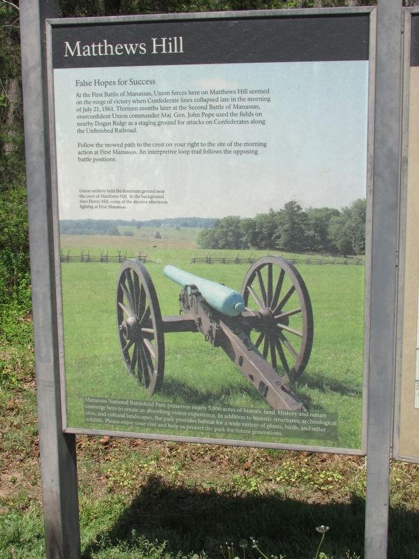
False Hopes for Success
At the First Battle of Manassas, Union forces here on Matthews Hill seemed on the verge of victory when Confederate lines collapsed late in the morning of July 21, 1861. Thirteen months later at the Second Battle of Manassas, overconfident Union commander Maj. Gen. John Pope used the fields on nearby Dogan Ridge as a staging ground for attacks on Confederates along the Unfinished Railroad.
Follow the mowed path to the crest on your right to the site of the morning action at First Manassas. An interpretive loop trail follows the opposing battle positions.
Manassas National Battlefield Park preserves nearly 5,000 acres of historic land. History and nature converge here to create an absorbing visitor experience. In addition to historic structures, archeological sites, and cultural landscapes, the park provides habitat for a wide variety of plants, birds, and other wildlife. Please enjoy your visit and help us protect the park for future generations.
Erected by National Park Service.
Topics. This historical marker is listed in this topic list: War, US Civil. A significant historical date for this entry is July 21, 1861.
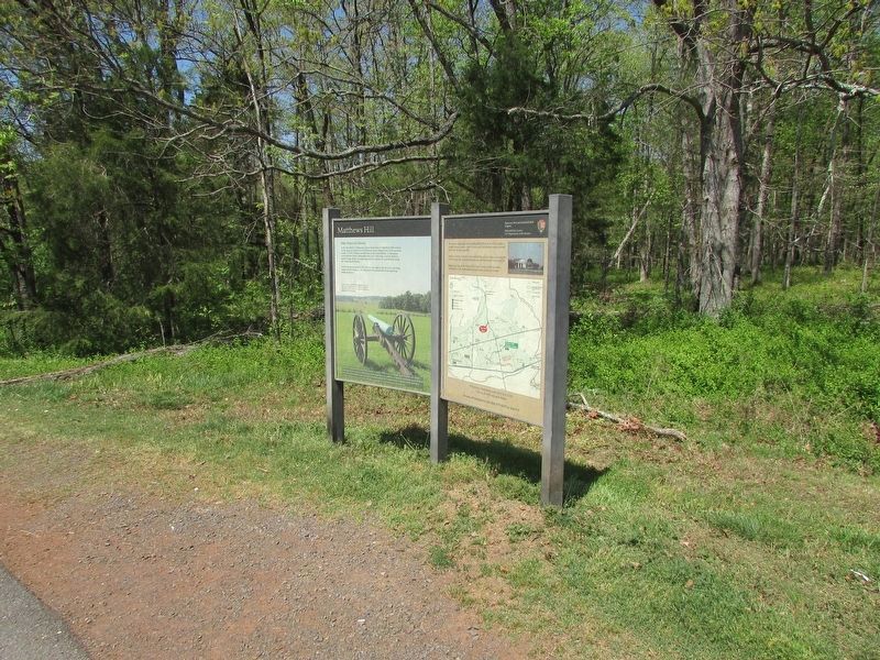
Location. 38° 49.616′ N, 77° 32.02′ W. Marker is in Manassas, Virginia, in Prince William County. Marker is on Sudley Road (Virginia Route 234), on the right when traveling north. The marker is located at the Matthews Hill Parking Lot at stop 4 of the driving tour. Touch for map. Marker is in this post office area: Manassas VA 20109, United States of America. Touch for directions.
Other nearby markers. At least 8 other markers are within walking distance of this marker. First Contact (within shouting distance of this marker); 2nd Rhode Island Infantry (about 700 feet away, measured in a direct line); U.S. Infantry Battalion (approx. 0.2 miles away); Rhode Island Battery (approx. 0.2 miles away); The Fight for Matthews Hill (approx. 0.2 miles away); 4th Alabama Infantry (approx. 0.2 miles away); 2nd New Hampshire Infantry (approx. 0.2 miles away); The Matthew Farm (approx. 0.2 miles away). Touch for a list and map of all markers in Manassas.
More about this marker. The background of the marker contains a picture of a cannon on the battlefield, and has a caption of "Union artillery held the dominant ground near the crest of Matthews Hill. In the background rises Henry Hill, scene of the decisive afternoon fighting at First Manassas."
Credits. This page was last revised on February 11, 2024. It was originally submitted on April 29, 2023, by Bill Coughlin of Woodland Park, New Jersey. This page has been viewed 65 times since then and 17 times this year. Last updated on February 10, 2024, by Devon Polzar of Port Washington, Wisconsin. Photos: 1, 2. submitted on April 29, 2023, by Bill Coughlin of Woodland Park, New Jersey. • Bernard Fisher was the editor who published this page.

